SL3-122-2562
| NASA Photo ID | SL3-122-2562 |
| Focal Length | 100mm |
| Date taken | 1973.__.__ |
| Time taken | GMT |

Cloud masks available for this image:
Spacecraft nadir point:
Photo center point: 39.5° N, 45.5° E
Photo center point by machine learning:
Photo center point: 39.5° N, 45.5° E
Photo center point by machine learning:
Nadir to Photo Center:
Spacecraft Altitude: nautical miles (0km)
Country or Geographic Name: | AZERBAIJAN |
Features: | MT. ARARAT, SEVAN LAKE |
| Features Found Using Machine Learning: | |
Cloud Cover Percentage: | 40 (26-50)% |
Sun Elevation Angle: | ° |
Sun Azimuth: | ° |
Camera: | Hasselblad |
Focal Length: | 100mm |
Camera Tilt: | Low Oblique |
Format: | SO368: Kodak Ektachrome MS, equivalent to 2448 Kodak Aerochrome, ASA64, thin base, fine grain |
Film Exposure: | Normal |
| Additional Information | |
| Width | Height | Annotated | Cropped | Purpose | Links |
|---|---|---|---|---|---|
| 4400 pixels | 4600 pixels | No | No | Download Image | |
| 4400 pixels | 4600 pixels | No | No | Original file from film scan | Download Image |
| 478 pixels | 500 pixels | No | No | Download Image |
Download Packaged File
Download a Google Earth KML for this Image
View photo footprint information
Download a GeoTIFF for this photo
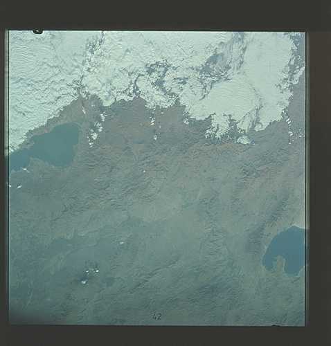
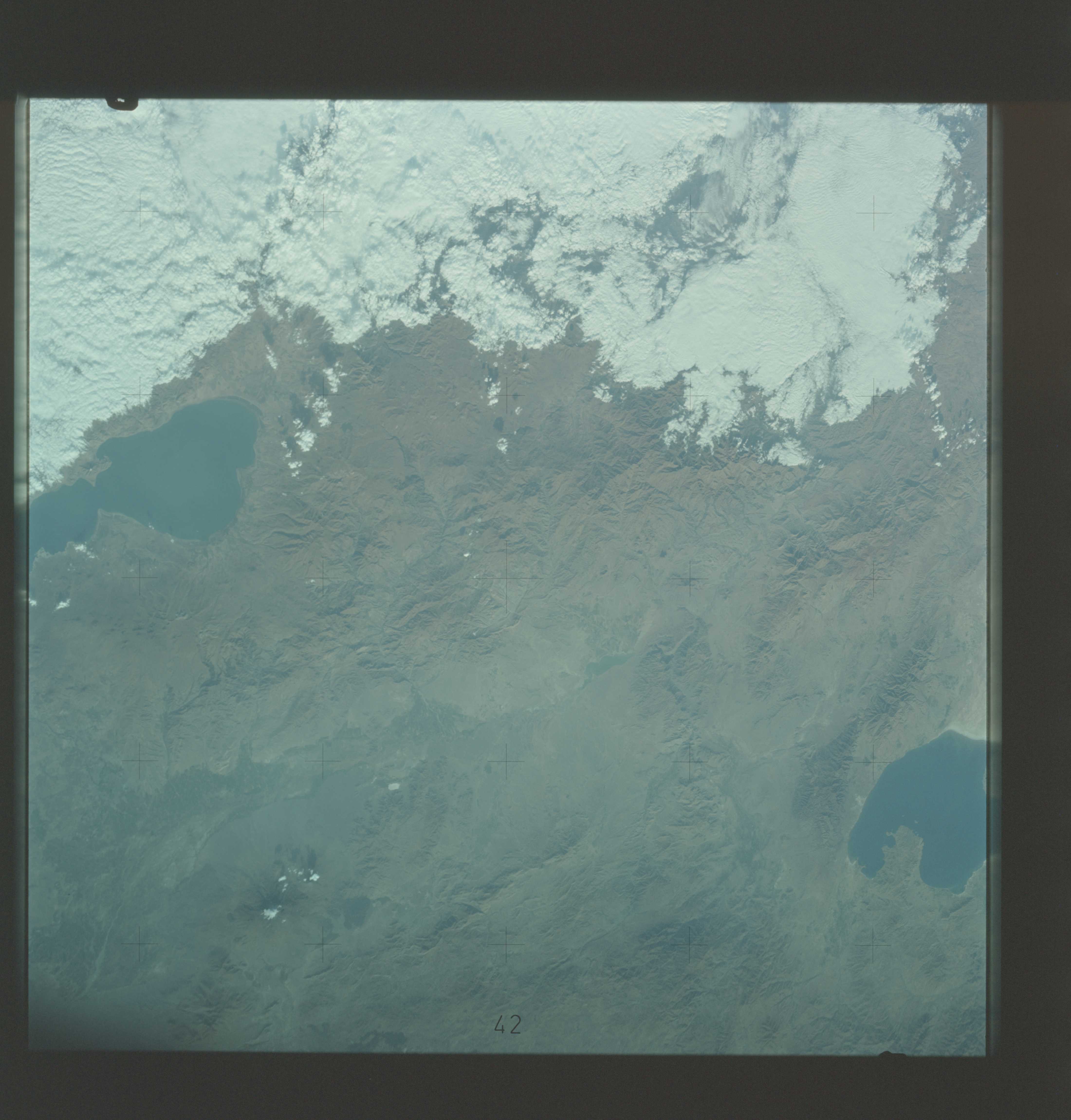
Image Caption: SL3-122-2562 Kurdistan. The permanent snowcap of Mount Ararat (top
left) stands out in brilliant contrast against dark lava flows in this
image of the borderland of Turkey, Iran (Lake Urmia) and Armenia (Lake
Sevan). T73
A near vertical view of the border area of Turkey,Iran, Union of Soviet Socialist Republic (39.5N, 45.5E) as seen from the Skylab space station in Earth orbit. The lake at the top center edge is Ozero (Lake) Sevan in the USSR's Armenian Soviet Socialist Republic. The other body of water is Iran's Lake Urmia. The major feature in this photograph is Mount Ararat (16,945 feet) which can be seen in the upper left corner. Mount Ararat is in Turkey only a few miles from the Iran and USSR borders. Yerevan, the capital of Armenian SSR, is located north-northeast of Mount Arart.
