SL2-16-174
| NASA Photo ID | SL2-16-174 |
| Focal Length | 152mm |
| Date taken | 1973.06.12 |
| Time taken | GMT |
Cloud masks available for this image:
Spacecraft nadir point: 38.2° N, 76.1° W
Photo center point: 38.2° N, 76.1° W
Photo center point by machine learning:
Photo center point: 38.2° N, 76.1° W
Photo center point by machine learning:
Nadir to Photo Center:
Spacecraft Altitude: 237 nautical miles (439km)
Country or Geographic Name: | |
Features: | CHESAPEAKE BAY, ANAPOLIS, POTOMAC RIVER |
| Features Found Using Machine Learning: | |
Cloud Cover Percentage: | 20 (11-25)% |
Sun Elevation Angle: | ° |
Sun Azimuth: | ° |
Camera: | Skylab Multispectral (S190A) |
Focal Length: | 152mm |
Camera Tilt: | 0 degrees |
Format: | SO356: Unknown SkyLab |
Film Exposure: | |
| Additional Information | |
| Width | Height | Annotated | Cropped | Purpose | Links |
|---|---|---|---|---|---|
| 6830 pixels | 4937 pixels | No | No | Download Image | |
| 500 pixels | 361 pixels | No | No | Download Image |
Download Packaged File
Download a Google Earth KML for this Image
View photo footprint information
Download a GeoTIFF for this photo
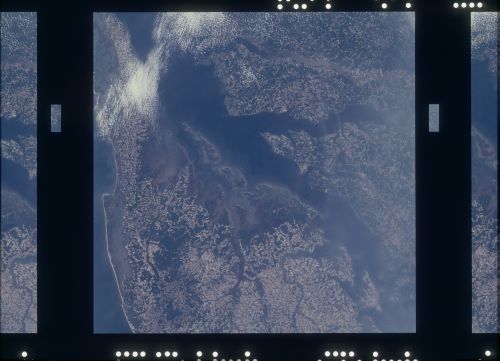
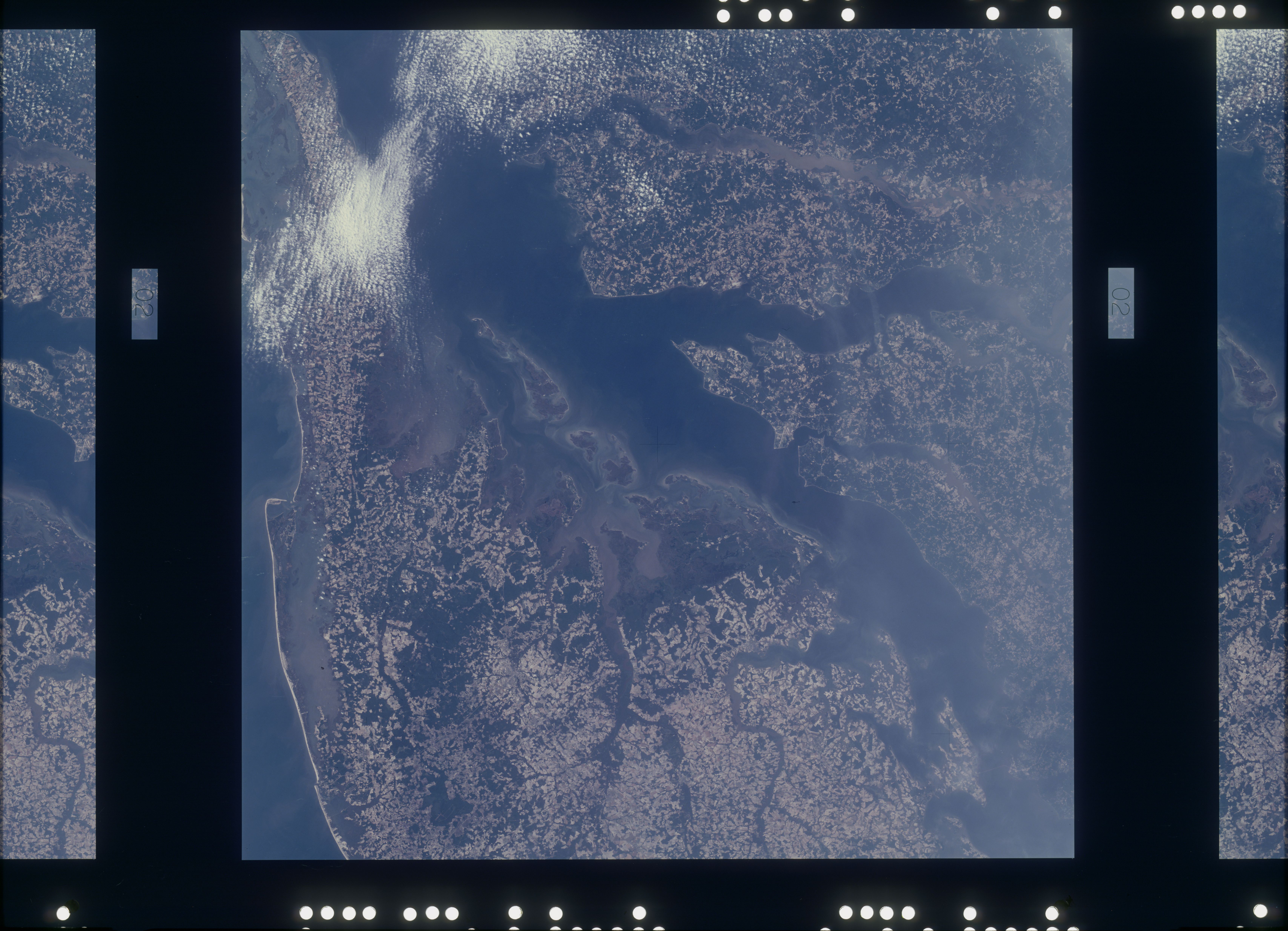
Image Caption: Norfolk and the lower Chesapeake Bay, VA (37.5N, 75.5W) at the interface of the Atlantic Ocean can be seen to be a mixture of complex currents. Outgoing tides from the bay generate considerable tubulence as they encounter coastal currents and can be observed by the sediment plumes stirred up as a result of current dynamics. Smooth flowing water has less sediment and appears darker. Turbulent water has lots of sediment and appears lighter in color.
