NM23-751-347
| NASA Photo ID | NM23-751-347 |
| Focal Length | 100mm |
| Date taken | 1997.04.29 |
| Time taken | 07:00:47 GMT |
Resolutions offered for this image:
4096 x 4096 pixels 640 x 640 pixels 5700 x 6000 pixels 500 x 526 pixels
4096 x 4096 pixels 640 x 640 pixels 5700 x 6000 pixels 500 x 526 pixels

Cloud masks available for this image:
Spacecraft nadir point: 47.7° N, 68.7° E
Photo center point: 46.5° N, 75.0° E
Photo center point by machine learning:
Photo center point: 46.5° N, 75.0° E
Photo center point by machine learning:
Nadir to Photo Center: East
Spacecraft Altitude: 209 nautical miles (387km)
Country or Geographic Name: | KAZAKHSTAN |
Features: | LAKE BALKHASH |
| Features Found Using Machine Learning: | |
Cloud Cover Percentage: | 0 (no clouds present) |
Sun Elevation Angle: | 57° |
Sun Azimuth: | 170° |
Camera: | Hasselblad |
Focal Length: | 100mm |
Camera Tilt: | Low Oblique |
Format: | 5046: Kodak, natural color positive, Lumiere 100/5046, ASA 100, standard base |
Film Exposure: | Normal |
| Additional Information | |
| Width | Height | Annotated | Cropped | Purpose | Links |
|---|---|---|---|---|---|
| 4096 pixels | 4096 pixels | No | No | Earth From Space collection | Download Image |
| 640 pixels | 640 pixels | No | No | Earth From Space collection | Download Image |
| 5700 pixels | 6000 pixels | No | No | Download Image | |
| 500 pixels | 526 pixels | No | No | Download Image |
Download Packaged File
Download a Google Earth KML for this Image
View photo footprint information
Download a GeoTIFF for this photo
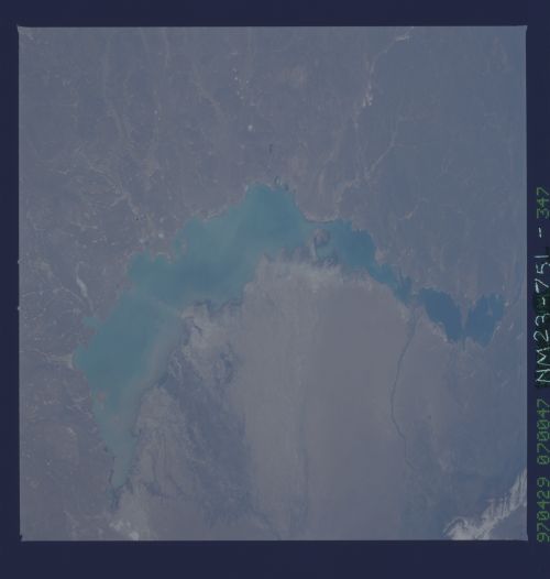
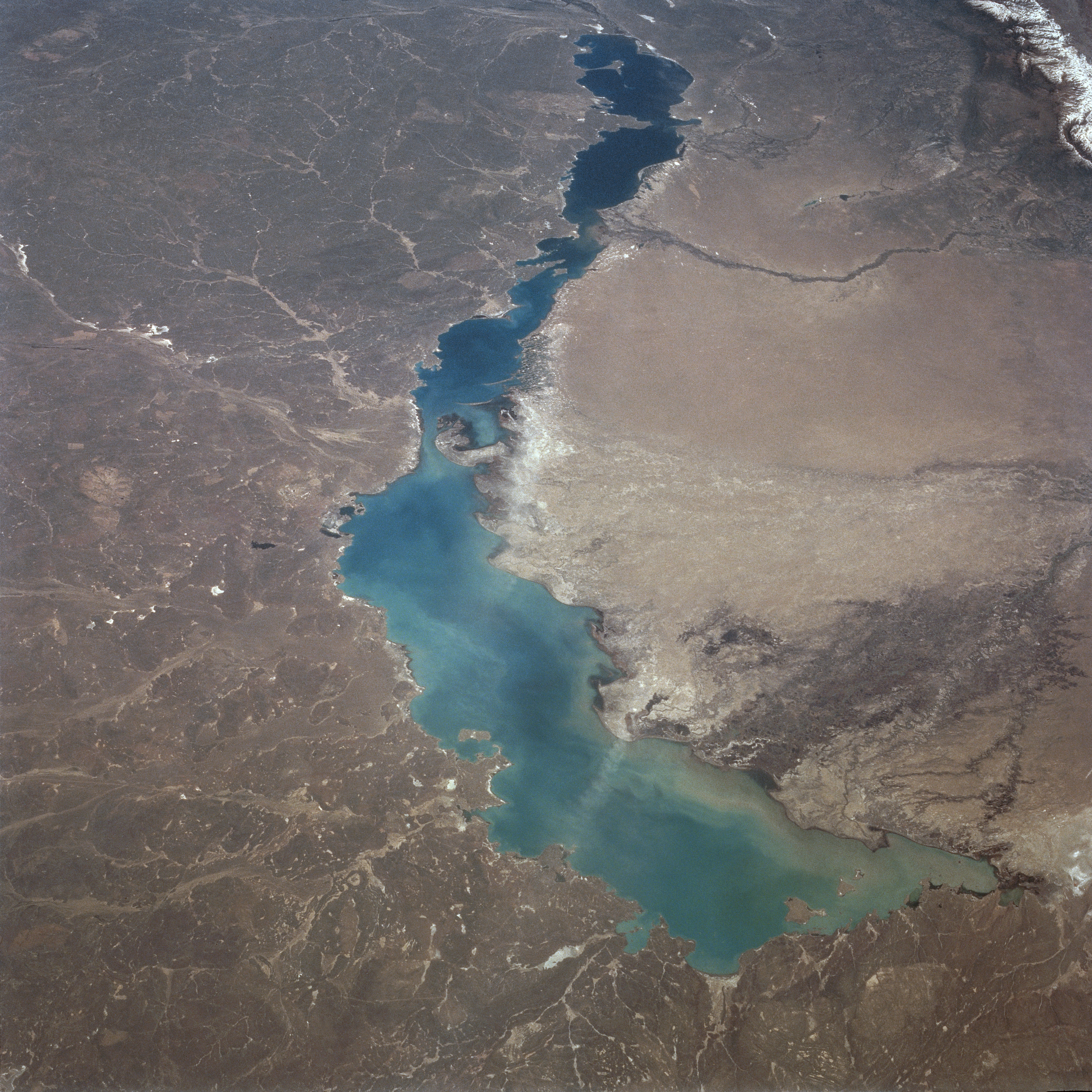
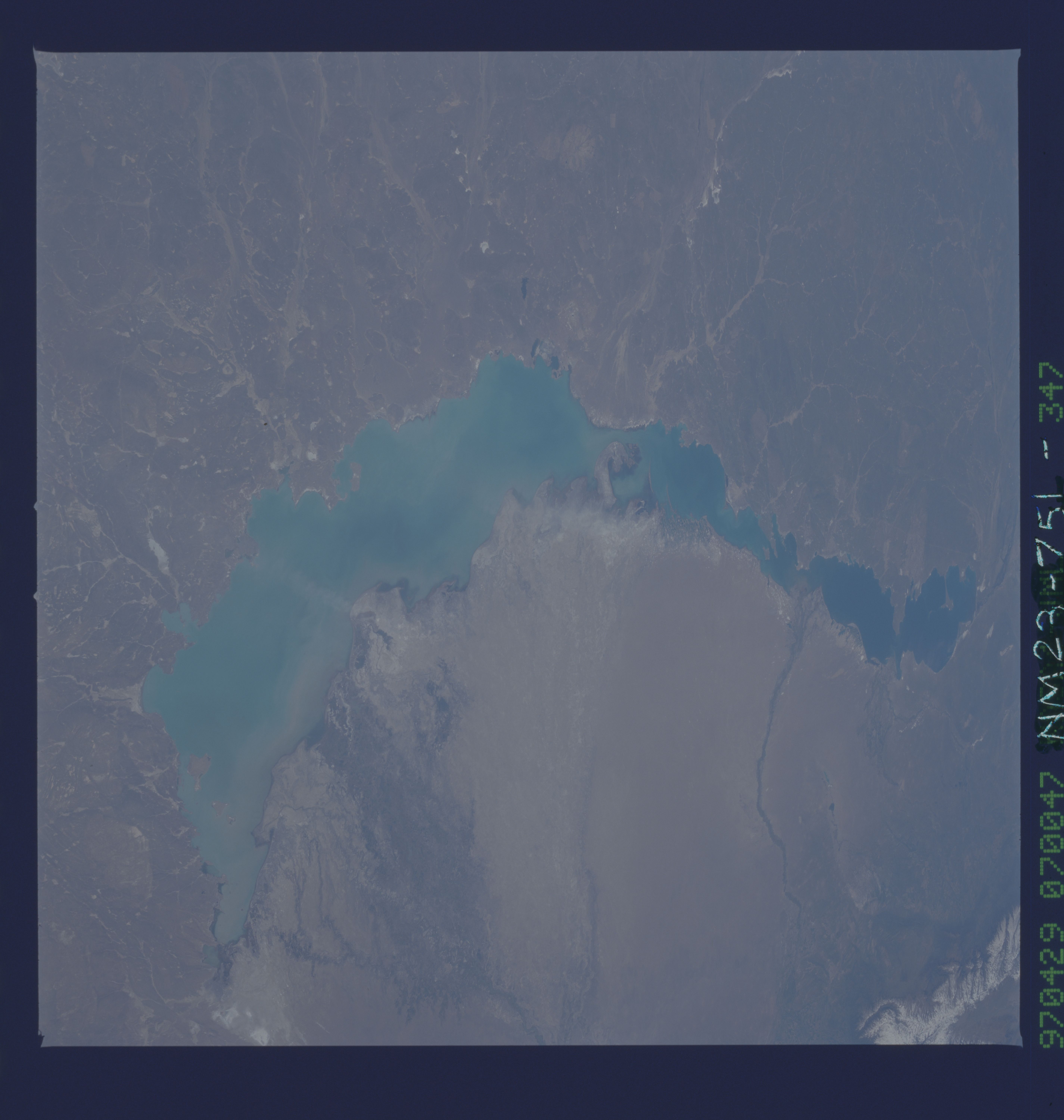
Image Caption: NM23-751-347 Lake Balkhash, Kazakhstan Winter/Spring 1997
The sixteenth largest inland lake in the world, Lake Balkhash, can be seen in this east-looking view. Covering an area of 7115 square miles (18428 square km), Lake Balkhash is 376 miles (605 km) long and has a maximum width of 45 miles (70 km). To the north of Lake Balkhash (left portion of the image) are the southern portions of the semi-arid Kazakh Uplands. To the south of Lake Balkhash (right portion of the image) is the Saryesik-Atryan Desert, mostly a sand desert. The average depth of the lake is 20 feet (6 meters) though its maximum depth reaches 87 feet (26 meters). Three major streams feed Lake Balkhash, all from the south or southeast. The Ili River, with its large delta, is visible in the lower right portion of the image. The Karatal River, with its smaller delta, is visible near the right center of the image. The Aqsu River is barely discernible in the upper right portion of the image. Lake Balkhash has no outlet. The waters of the western part of the lake, especially near the Ili River mouth, are fresh. The waters of the eastern part of the lake are partly salty. Since 1960, water levels in Lake Balkhash have been declining, mostly due to evaporation and increased water usage for irrigation along the Ili and Karatol Rivers. The snow-covered peaks of the Dzhungarsk-Alatau Mountains are discernible in the extreme upper right portion of the image.
The sixteenth largest inland lake in the world, Lake Balkhash, can be seen in this east-looking view. Covering an area of 7115 square miles (18428 square km), Lake Balkhash is 376 miles (605 km) long and has a maximum width of 45 miles (70 km). To the north of Lake Balkhash (left portion of the image) are the southern portions of the semi-arid Kazakh Uplands. To the south of Lake Balkhash (right portion of the image) is the Saryesik-Atryan Desert, mostly a sand desert. The average depth of the lake is 20 feet (6 meters) though its maximum depth reaches 87 feet (26 meters). Three major streams feed Lake Balkhash, all from the south or southeast. The Ili River, with its large delta, is visible in the lower right portion of the image. The Karatal River, with its smaller delta, is visible near the right center of the image. The Aqsu River is barely discernible in the upper right portion of the image. Lake Balkhash has no outlet. The waters of the western part of the lake, especially near the Ili River mouth, are fresh. The waters of the eastern part of the lake are partly salty. Since 1960, water levels in Lake Balkhash have been declining, mostly due to evaporation and increased water usage for irrigation along the Ili and Karatol Rivers. The snow-covered peaks of the Dzhungarsk-Alatau Mountains are discernible in the extreme upper right portion of the image.
