NM23-742-193
| NASA Photo ID | NM23-742-193 |
| Focal Length | 250mm |
| Date taken | 1997.04.21 |
| Time taken | GMT |
Resolutions offered for this image:
4032 x 4032 pixels 640 x 640 pixels 5700 x 6000 pixels 500 x 526 pixels
4032 x 4032 pixels 640 x 640 pixels 5700 x 6000 pixels 500 x 526 pixels
Cloud masks available for this image:
Spacecraft nadir point:
Photo center point: 49.5° N, 8.5° E
Photo center point by machine learning:
Photo center point: 49.5° N, 8.5° E
Photo center point by machine learning:
Nadir to Photo Center:
Spacecraft Altitude: nautical miles (0km)
Country or Geographic Name: | GERMANY |
Features: | RHINE RIVER, MANNHEIM |
| Features Found Using Machine Learning: | |
Cloud Cover Percentage: | 5 (1-10)% |
Sun Elevation Angle: | ° |
Sun Azimuth: | ° |
Camera: | Hasselblad |
Focal Length: | 250mm |
Camera Tilt: | Low Oblique |
Format: | 5046: Kodak, natural color positive, Lumiere 100/5046, ASA 100, standard base |
Film Exposure: | Normal |
| Additional Information | |
| Width | Height | Annotated | Cropped | Purpose | Links |
|---|---|---|---|---|---|
| 4032 pixels | 4032 pixels | No | No | Earth From Space collection | Download Image |
| 640 pixels | 640 pixels | No | No | Earth From Space collection | Download Image |
| 5700 pixels | 6000 pixels | No | No | Download Image | |
| 500 pixels | 526 pixels | No | No | Download Image |
Download Packaged File
Download a Google Earth KML for this Image
View photo footprint information
Download a GeoTIFF for this photo
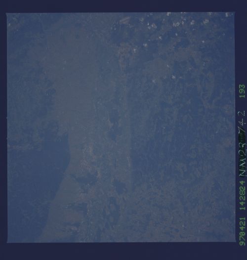
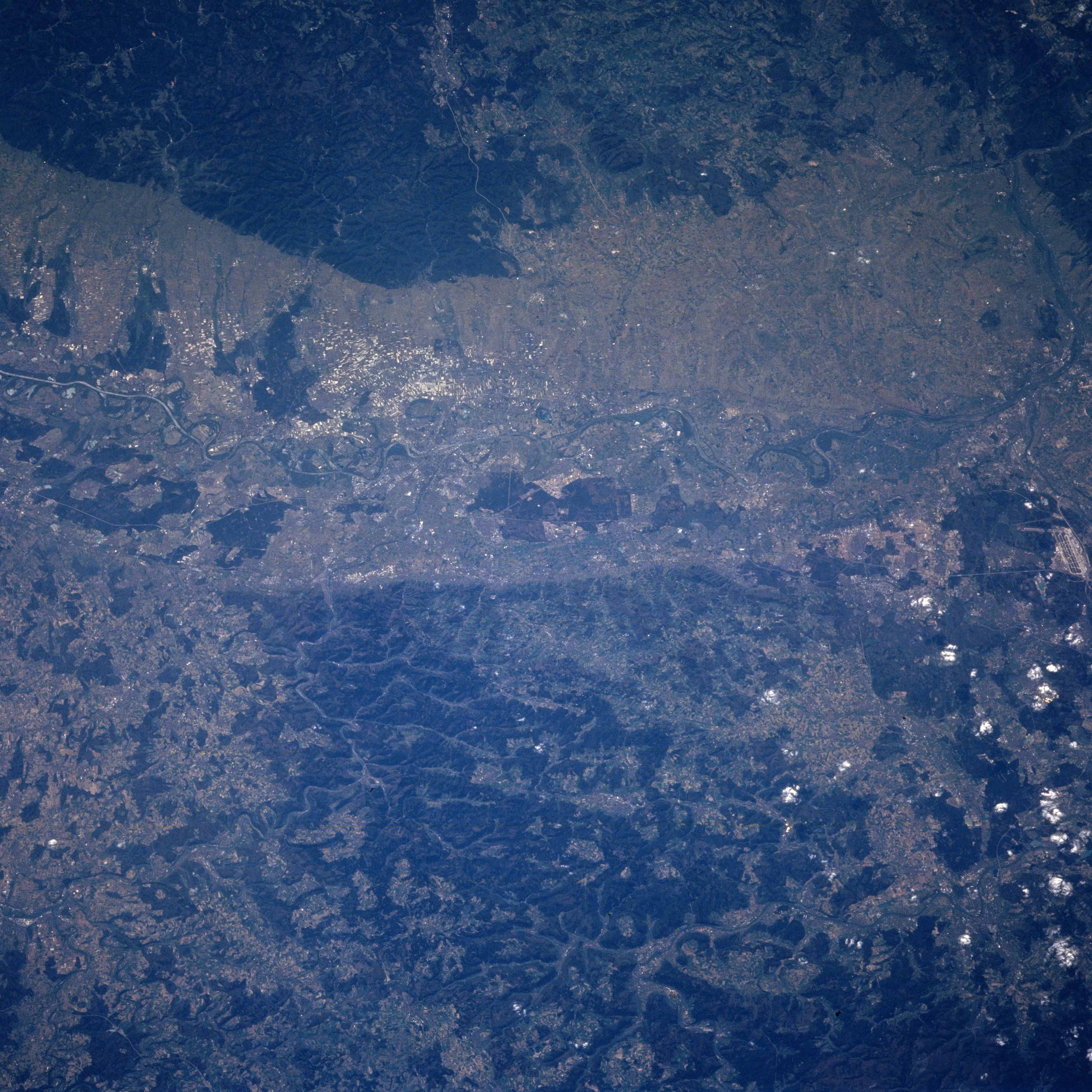
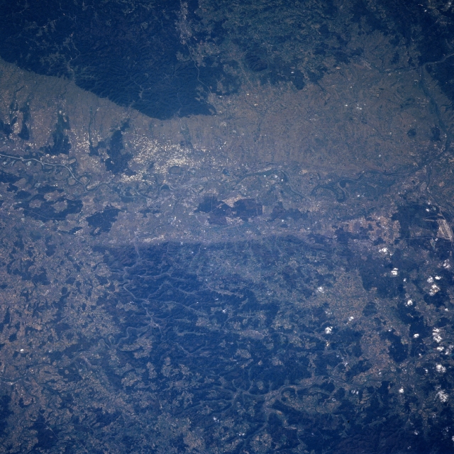
Image Caption: NM23-742-193 Rhine River Valley, Mannheim, Germany Winter/Spring 1997
The Rhine River can be seen entering the scene just above the left center (south) of the view. The river traverses the view and exists the scene at the right center (north) of the view. The Rhine River, 820 miles (1320 km) long is one of the busiest rivers in the world, transporting much of Western Europe's commerce. Along this part of the river, the Rhine flows in a widened valley or trench, formed by the collapse of a segment of the earth's crust. Agriculture is intensive on slopes of the valley. Forested hills (darker landscapes) are visible on both sides of the river valley. The city of Mannheim is located on the east bank of the Rhine River at the confluence of one of the main tributaries of the Rhine, the Neckar River (slightly left of center). The city is a major inland port and an industrial center.
The Rhine River can be seen entering the scene just above the left center (south) of the view. The river traverses the view and exists the scene at the right center (north) of the view. The Rhine River, 820 miles (1320 km) long is one of the busiest rivers in the world, transporting much of Western Europe's commerce. Along this part of the river, the Rhine flows in a widened valley or trench, formed by the collapse of a segment of the earth's crust. Agriculture is intensive on slopes of the valley. Forested hills (darker landscapes) are visible on both sides of the river valley. The city of Mannheim is located on the east bank of the Rhine River at the confluence of one of the main tributaries of the Rhine, the Neckar River (slightly left of center). The city is a major inland port and an industrial center.
