NM23-716-419
| NASA Photo ID | NM23-716-419 |
| Focal Length | 250mm |
| Date taken | 1997.03.22 |
| Time taken | GMT |
Resolutions offered for this image:
4043 x 4070 pixels 635 x 639 pixels 5700 x 6000 pixels 500 x 526 pixels 522 x 513 pixels
4043 x 4070 pixels 635 x 639 pixels 5700 x 6000 pixels 500 x 526 pixels 522 x 513 pixels

Cloud masks available for this image:
Spacecraft nadir point:
Photo center point: 29.0° N, 34.5° E
Photo center point by machine learning:
Photo center point: 29.0° N, 34.5° E
Photo center point by machine learning:
Nadir to Photo Center:
Spacecraft Altitude: nautical miles (0km)
Country or Geographic Name: | EGYPT |
Features: | GULF OF AQABA |
| Features Found Using Machine Learning: | |
Cloud Cover Percentage: | 0 (no clouds present) |
Sun Elevation Angle: | ° |
Sun Azimuth: | ° |
Camera: | Hasselblad |
Focal Length: | 250mm |
Camera Tilt: | |
Format: | 5046: Kodak, natural color positive, Lumiere 100/5046, ASA 100, standard base |
Film Exposure: | Normal |
| Additional Information | |
| Width | Height | Annotated | Cropped | Purpose | Links |
|---|---|---|---|---|---|
| 4043 pixels | 4070 pixels | No | No | Earth From Space collection | Download Image |
| 635 pixels | 639 pixels | No | No | Earth From Space collection | Download Image |
| 5700 pixels | 6000 pixels | No | No | Download Image | |
| 500 pixels | 526 pixels | No | No | Download Image | |
| 522 pixels | 513 pixels | No | No | Download Image |
Download Packaged File
Download a Google Earth KML for this Image
View photo footprint information
Download a GeoTIFF for this photo
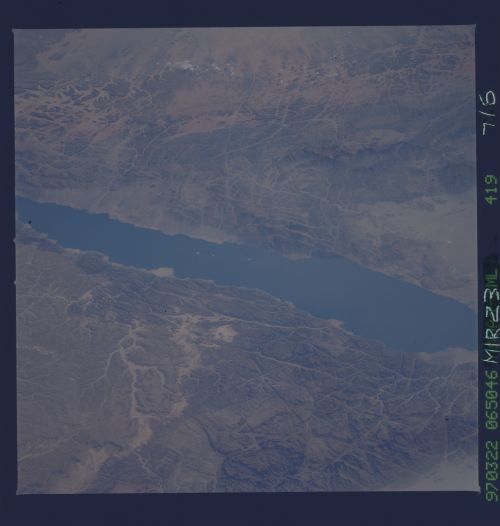
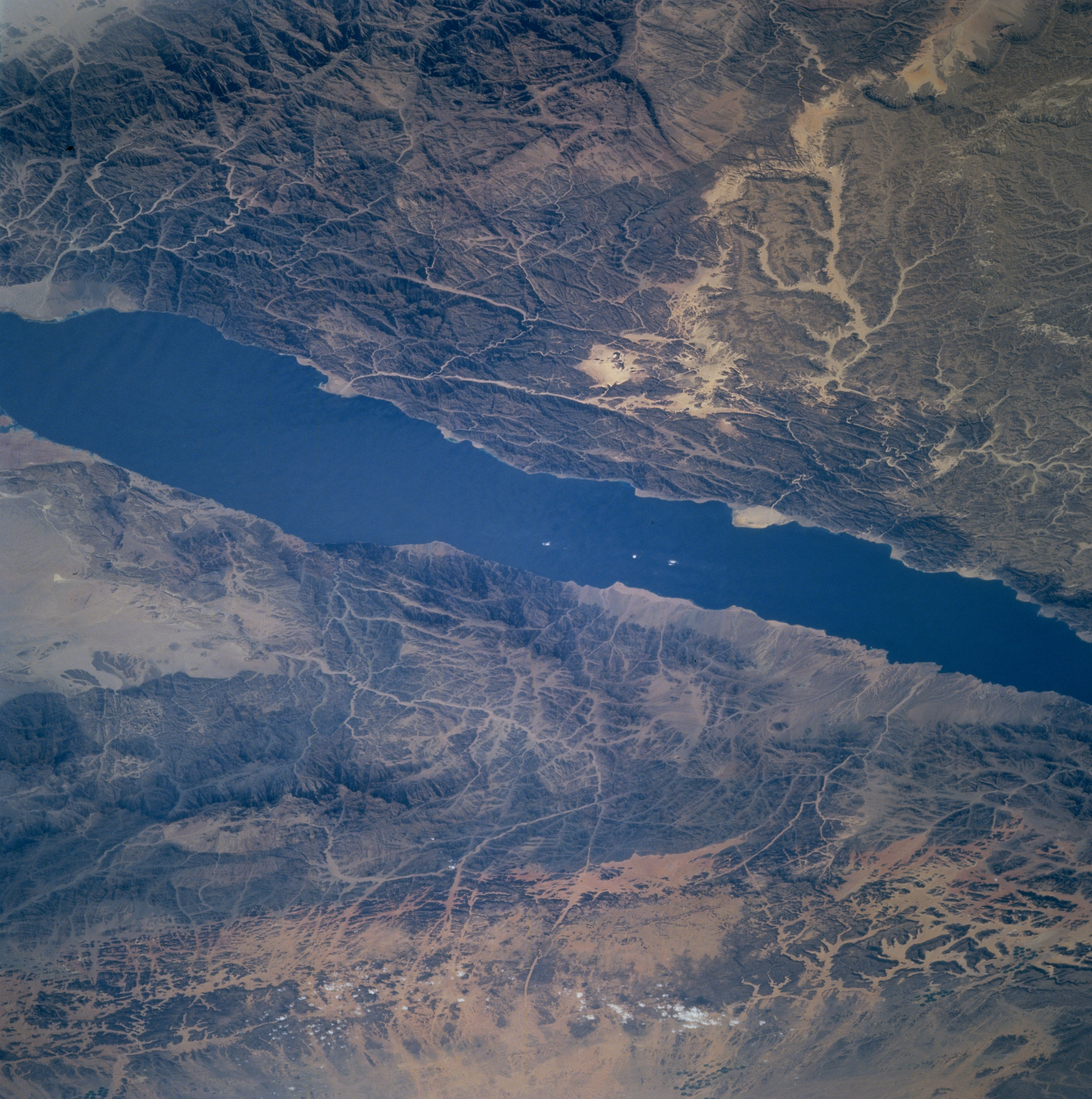
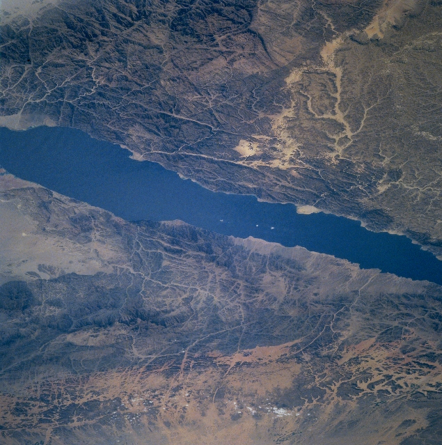
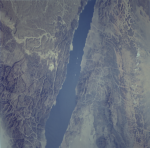
Image Caption: NM23-716-419 Gulf of Aqaba, Saudi Arabia Winter/Spring 1997
Trending in a north-northeast, south-southwest direction, the Gulf of Aqaba can be seen in this west-looking view. An arm of the Red Sea, the Gulf of Aqaba is 118 miles (190 km) long, and 10 miles (16 km) wide. The gulf is situated between the Sinai Peninsula (bottom portion of image) and the Arabian Peninsula (top portion of the image). It is a part of the Great Rift Valley. The Gulf is a major shipping route for the city ports of Elat, Israel, and Aqaba, Jordan (not visible) at the northern end of the gulf. In the bottom right portion of the image, the granitic ridges of the Musa (Sinai) Mountains are visible. Mount Katherine (Mount Sinai) is visible near the bottom center of the image. In the upper right portion of the image, the rugged Lawz Mountains of Saudi Arabia are discernible.
Trending in a north-northeast, south-southwest direction, the Gulf of Aqaba can be seen in this west-looking view. An arm of the Red Sea, the Gulf of Aqaba is 118 miles (190 km) long, and 10 miles (16 km) wide. The gulf is situated between the Sinai Peninsula (bottom portion of image) and the Arabian Peninsula (top portion of the image). It is a part of the Great Rift Valley. The Gulf is a major shipping route for the city ports of Elat, Israel, and Aqaba, Jordan (not visible) at the northern end of the gulf. In the bottom right portion of the image, the granitic ridges of the Musa (Sinai) Mountains are visible. Mount Katherine (Mount Sinai) is visible near the bottom center of the image. In the upper right portion of the image, the rugged Lawz Mountains of Saudi Arabia are discernible.
