NM23-707-426
| NASA Photo ID | NM23-707-426 |
| Focal Length | 100mm |
| Date taken | 1997.03.12 |
| Time taken | GMT |
Resolutions offered for this image:
4088 x 4096 pixels 638 x 640 pixels 5700 x 6000 pixels 500 x 526 pixels
4088 x 4096 pixels 638 x 640 pixels 5700 x 6000 pixels 500 x 526 pixels

Cloud masks available for this image:
Spacecraft nadir point:
Photo center point: 40.5° N, 20.5° E
Photo center point by machine learning:
Photo center point: 40.5° N, 20.5° E
Photo center point by machine learning:
Nadir to Photo Center: East
Spacecraft Altitude: nautical miles (0km)
Country or Geographic Name: | ALBANIA |
Features: | LAKE OHRID |
| Features Found Using Machine Learning: | |
Cloud Cover Percentage: | 5 (1-10)% |
Sun Elevation Angle: | ° |
Sun Azimuth: | ° |
Camera: | Hasselblad |
Focal Length: | 100mm |
Camera Tilt: | Low Oblique |
Format: | 5046: Kodak, natural color positive, Lumiere 100/5046, ASA 100, standard base |
Film Exposure: | Normal |
| Additional Information | |
| Width | Height | Annotated | Cropped | Purpose | Links |
|---|---|---|---|---|---|
| 4088 pixels | 4096 pixels | No | No | Earth From Space collection | Download Image |
| 638 pixels | 640 pixels | No | No | Earth From Space collection | Download Image |
| 5700 pixels | 6000 pixels | No | No | Download Image | |
| 500 pixels | 526 pixels | No | No | Download Image |
Download Packaged File
Download a Google Earth KML for this Image
View photo footprint information
Download a GeoTIFF for this photo
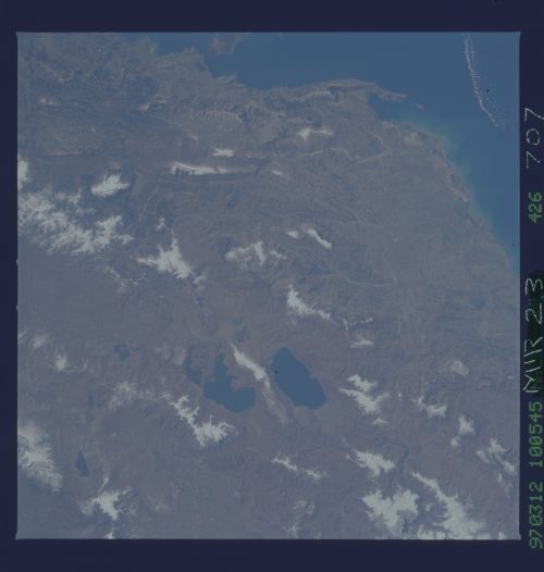
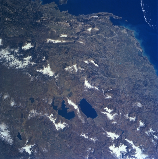
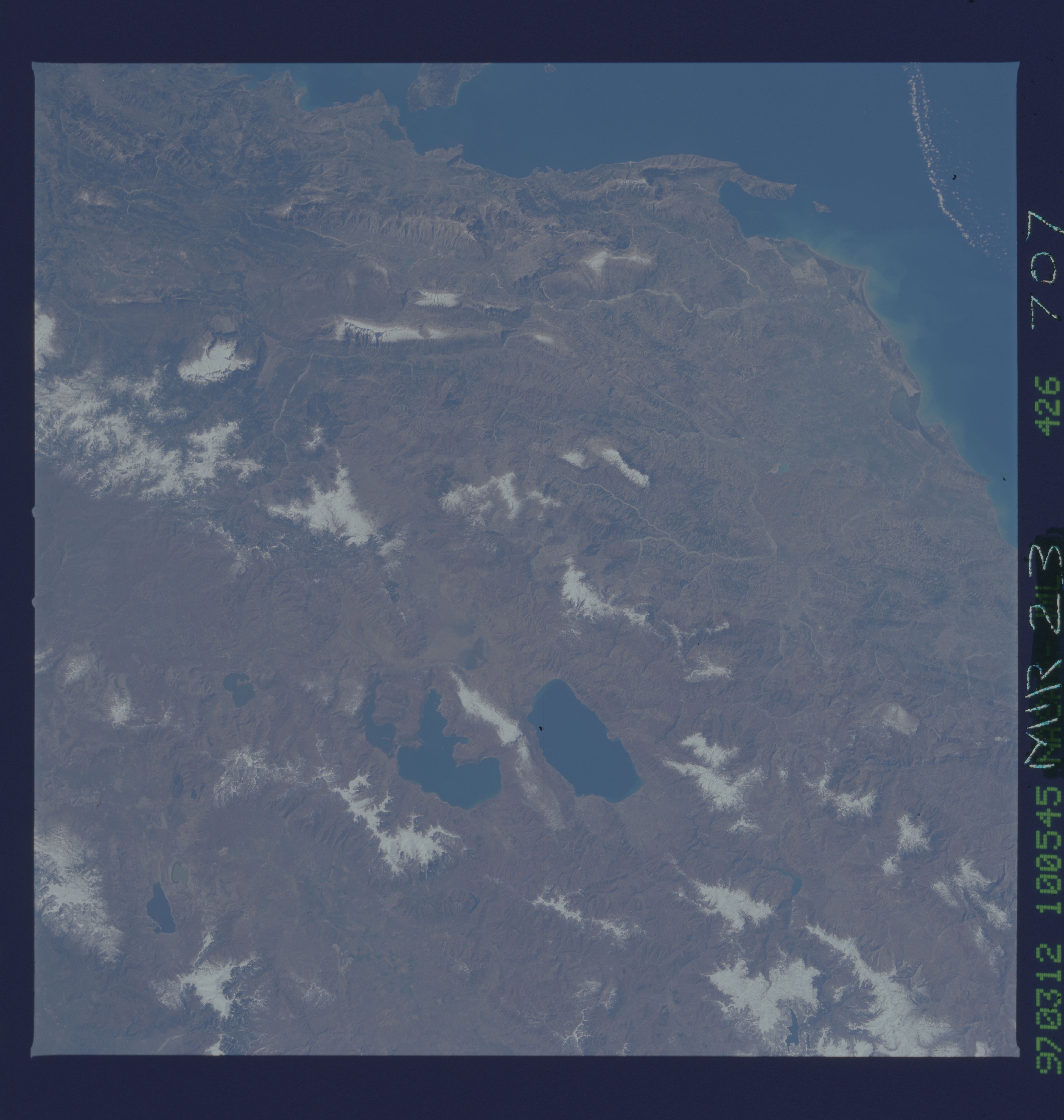
Image Caption: NM23-707-426 Lakes Ohrid & Prespa, Albania/Macedonia Winter/Spring 1997
Located just below the center of the image, Lake Ohrid, the deepest lake in the Balkans, can be seen in this south-southeast looking view. Just to the left of Lake Ohrid is Lake Prespa, the highest lake in the Balkans. The smaller Mikri Prespa is just to the left (east) of Lake Prespa. Lake Ohrid is 25 miles (40 km) long and covers and area of 130 sq. miles (340 sq. km). Lake Prespa is 14 miles (23 km) long and approximately 8 miles (13 km) wide and covers an area of 112 sq. miles (290 sq. km). Lake Prespa drains into Lake Ohrid through a series of underground channels. The terrain around the lakes is hilly but not overly steep. The region around the lakes supports a larger population than other inland areas in Albania, northern Greece, and Macedonia. Most of Albania is visible in this view (right of the lakes). The terrain, except for a narrow coastal plain, is mountainous and often inaccessible. Soils are of a poor quality except in the intermontaine river valleys, along Lakes Orhid and Prespa. The Vlores Gulf and Adriatic Sea are visible in the top right corner of the image.
Located just below the center of the image, Lake Ohrid, the deepest lake in the Balkans, can be seen in this south-southeast looking view. Just to the left of Lake Ohrid is Lake Prespa, the highest lake in the Balkans. The smaller Mikri Prespa is just to the left (east) of Lake Prespa. Lake Ohrid is 25 miles (40 km) long and covers and area of 130 sq. miles (340 sq. km). Lake Prespa is 14 miles (23 km) long and approximately 8 miles (13 km) wide and covers an area of 112 sq. miles (290 sq. km). Lake Prespa drains into Lake Ohrid through a series of underground channels. The terrain around the lakes is hilly but not overly steep. The region around the lakes supports a larger population than other inland areas in Albania, northern Greece, and Macedonia. Most of Albania is visible in this view (right of the lakes). The terrain, except for a narrow coastal plain, is mountainous and often inaccessible. Soils are of a poor quality except in the intermontaine river valleys, along Lakes Orhid and Prespa. The Vlores Gulf and Adriatic Sea are visible in the top right corner of the image.
