NM22-741-54B
| NASA Photo ID | NM22-741-54B |
| Focal Length | 250mm |
| Date taken | 1996.12.__ |
| Time taken | GMT |
Resolutions offered for this image:
4096 x 4096 pixels 640 x 640 pixels 5700 x 6000 pixels 500 x 526 pixels 5236 x 5157 pixels 1964 x 1934 pixels
4096 x 4096 pixels 640 x 640 pixels 5700 x 6000 pixels 500 x 526 pixels 5236 x 5157 pixels 1964 x 1934 pixels


Cloud masks available for this image:
Spacecraft nadir point:
Photo center point: 19.5° N, 99.0° W
Photo center point by machine learning:
Photo center point: 19.5° N, 99.0° W
Photo center point by machine learning:
Nadir to Photo Center:
Spacecraft Altitude: nautical miles (0km)
Country or Geographic Name: | MEXICO |
Features: | MEXICO CITY, ROADS, VOL. |
| Features Found Using Machine Learning: | |
Cloud Cover Percentage: | 10 (1-10)% |
Sun Elevation Angle: | ° |
Sun Azimuth: | ° |
Camera: | Hasselblad |
Focal Length: | 250mm |
Camera Tilt: | Low Oblique |
Format: | 5046: Kodak, natural color positive, Lumiere 100/5046, ASA 100, standard base |
Film Exposure: | Normal |
| Additional Information | |
| Width | Height | Annotated | Cropped | Purpose | Links |
|---|---|---|---|---|---|
| 4096 pixels | 4096 pixels | No | No | Earth From Space collection | Download Image |
| 640 pixels | 640 pixels | No | No | Earth From Space collection | Download Image |
| 5700 pixels | 6000 pixels | No | No | Download Image | |
| 500 pixels | 526 pixels | No | No | Download Image | |
| 5236 pixels | 5157 pixels | Download Image | |||
| 1964 pixels | 1934 pixels | Download Image |
Download Packaged File
Download a Google Earth KML for this Image
View photo footprint information
Download a GeoTIFF for this photo
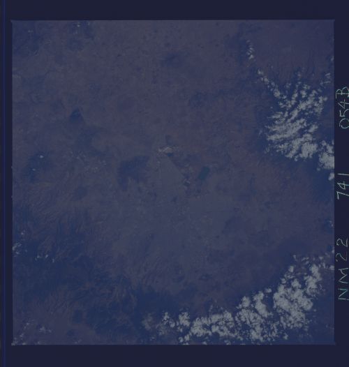
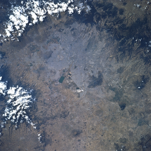
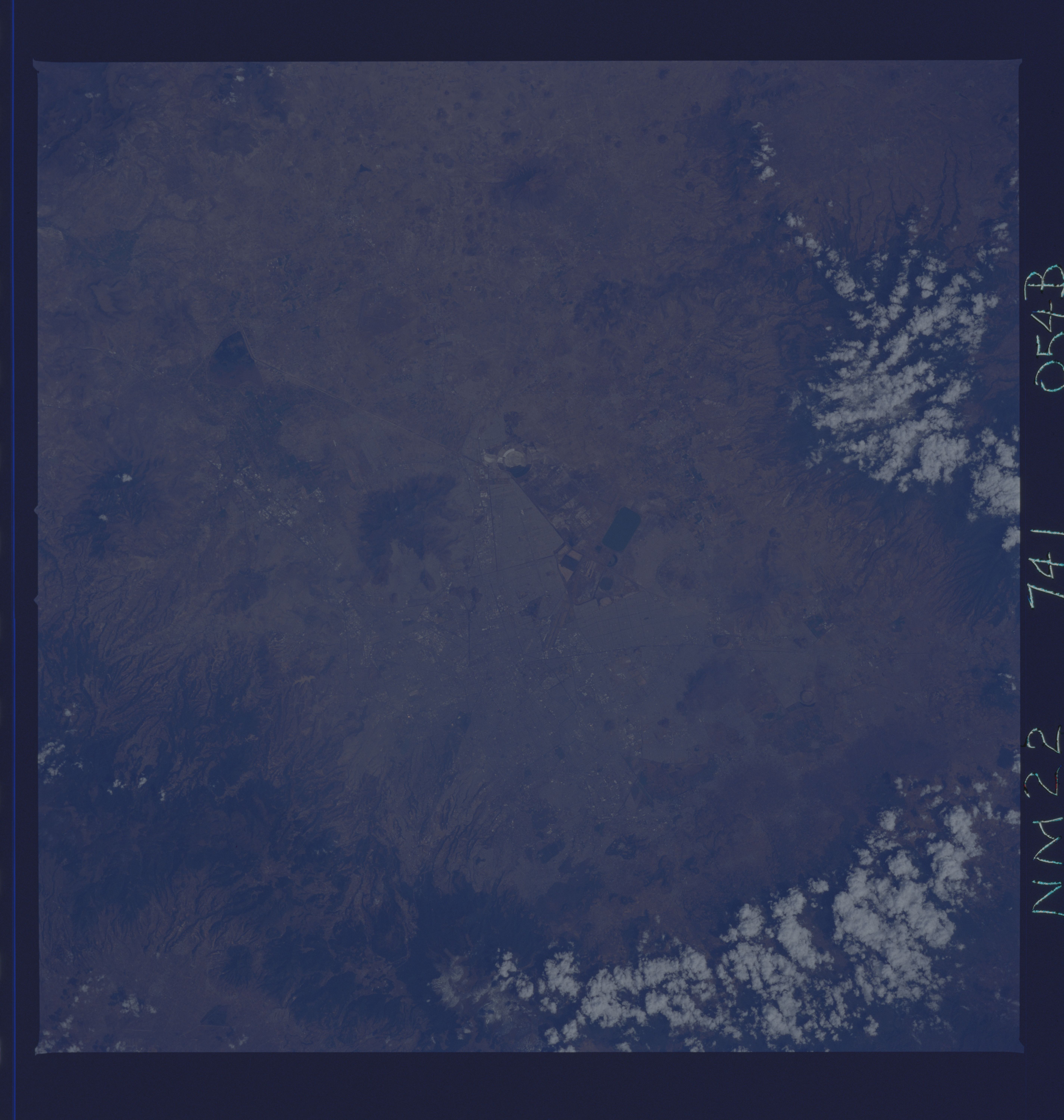
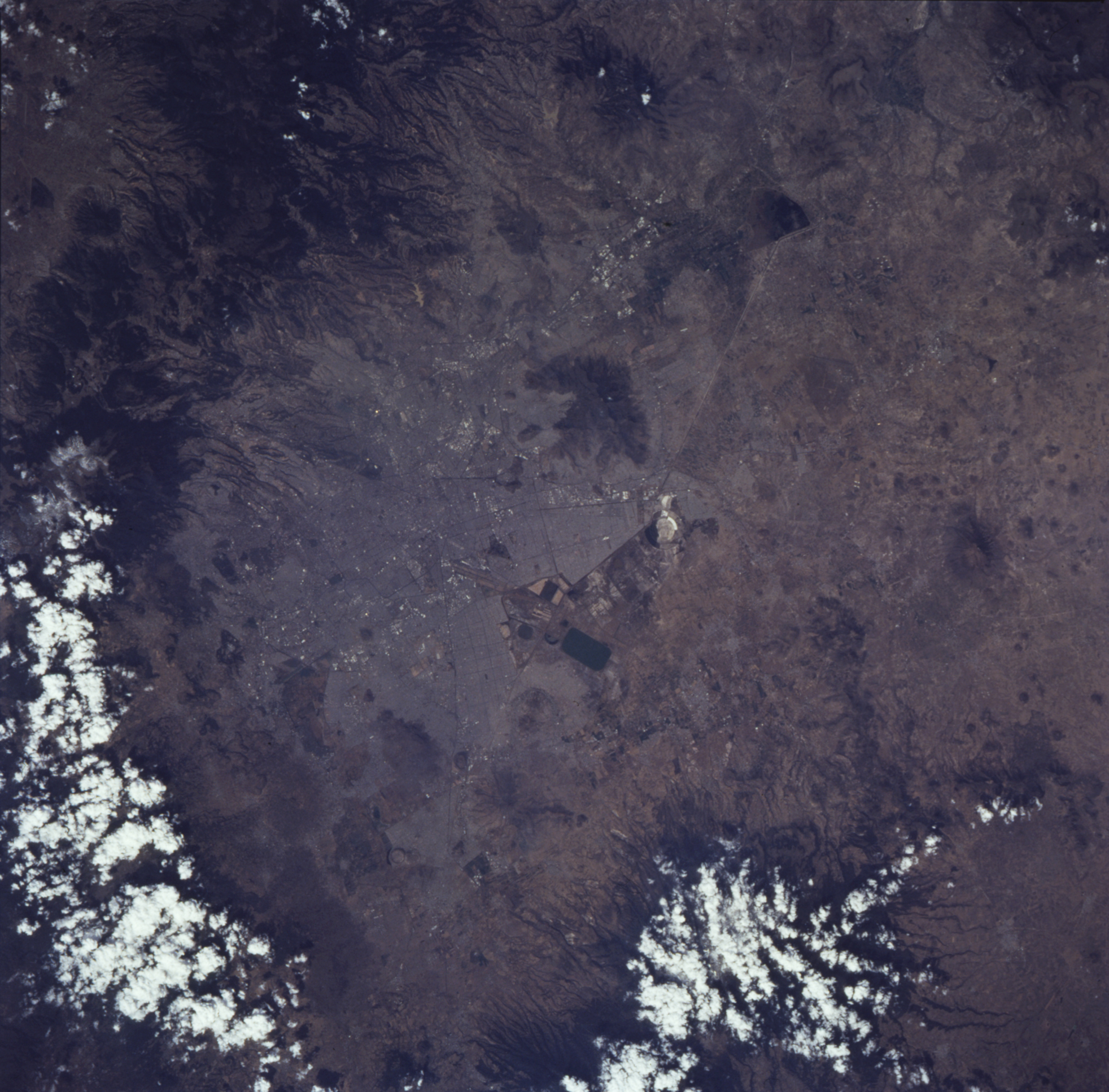
Image Caption: NM22-741-54B Mexico City, Mexico Fall/Winter 1996
One of the world's largest metropolitan areas, Mexico City, is located near the center of the picture. Although the urban infrastructure of the city is barely discernible on this small scale image (Lake Texcoco, the large, dark rectangular feature and several major thoroughfares) the image does show the vegetated slopes (darker areas) of the numerous volcanoes that almost encircle Mexico City. A semi-circle of clouds is visible over the volcanic mountains east and south of the rapidly expanding urban area. Several isolated, large composite volcanoes and numerous smaller cinder cones are scattered throughout this arid region of the Mexican Plateau.
One of the world's largest metropolitan areas, Mexico City, is located near the center of the picture. Although the urban infrastructure of the city is barely discernible on this small scale image (Lake Texcoco, the large, dark rectangular feature and several major thoroughfares) the image does show the vegetated slopes (darker areas) of the numerous volcanoes that almost encircle Mexico City. A semi-circle of clouds is visible over the volcanic mountains east and south of the rapidly expanding urban area. Several isolated, large composite volcanoes and numerous smaller cinder cones are scattered throughout this arid region of the Mexican Plateau.
