NM22-737-10
| NASA Photo ID | NM22-737-10 |
| Focal Length | 250mm |
| Date taken | 1996.11.25 |
| Time taken | GMT |
Resolutions offered for this image:
4096 x 4080 pixels 640 x 637 pixels 5700 x 6000 pixels 500 x 526 pixels
4096 x 4080 pixels 640 x 637 pixels 5700 x 6000 pixels 500 x 526 pixels

Cloud masks available for this image:
Spacecraft nadir point:
Photo center point: 18.0° S, 49.0° W
Photo center point by machine learning:
Photo center point: 18.0° S, 49.0° W
Photo center point by machine learning:
Nadir to Photo Center: Northwest
Spacecraft Altitude: nautical miles (0km)
Country or Geographic Name: | BRAZIL |
Features: | RES., R. PARANAIBA, AGR., CY |
| Features Found Using Machine Learning: | |
Cloud Cover Percentage: | 5 (1-10)% |
Sun Elevation Angle: | ° |
Sun Azimuth: | ° |
Camera: | Hasselblad |
Focal Length: | 250mm |
Camera Tilt: | Low Oblique |
Format: | 5046: Kodak, natural color positive, Lumiere 100/5046, ASA 100, standard base |
Film Exposure: | Normal |
| Additional Information | |
| Width | Height | Annotated | Cropped | Purpose | Links |
|---|---|---|---|---|---|
| 4096 pixels | 4080 pixels | No | No | Earth From Space collection | Download Image |
| 640 pixels | 637 pixels | No | No | Earth From Space collection | Download Image |
| 5700 pixels | 6000 pixels | No | No | Download Image | |
| 500 pixels | 526 pixels | No | No | Download Image |
Download Packaged File
Download a Google Earth KML for this Image
View photo footprint information
Download a GeoTIFF for this photo
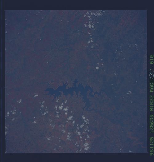
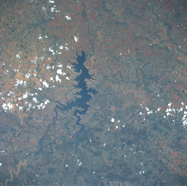
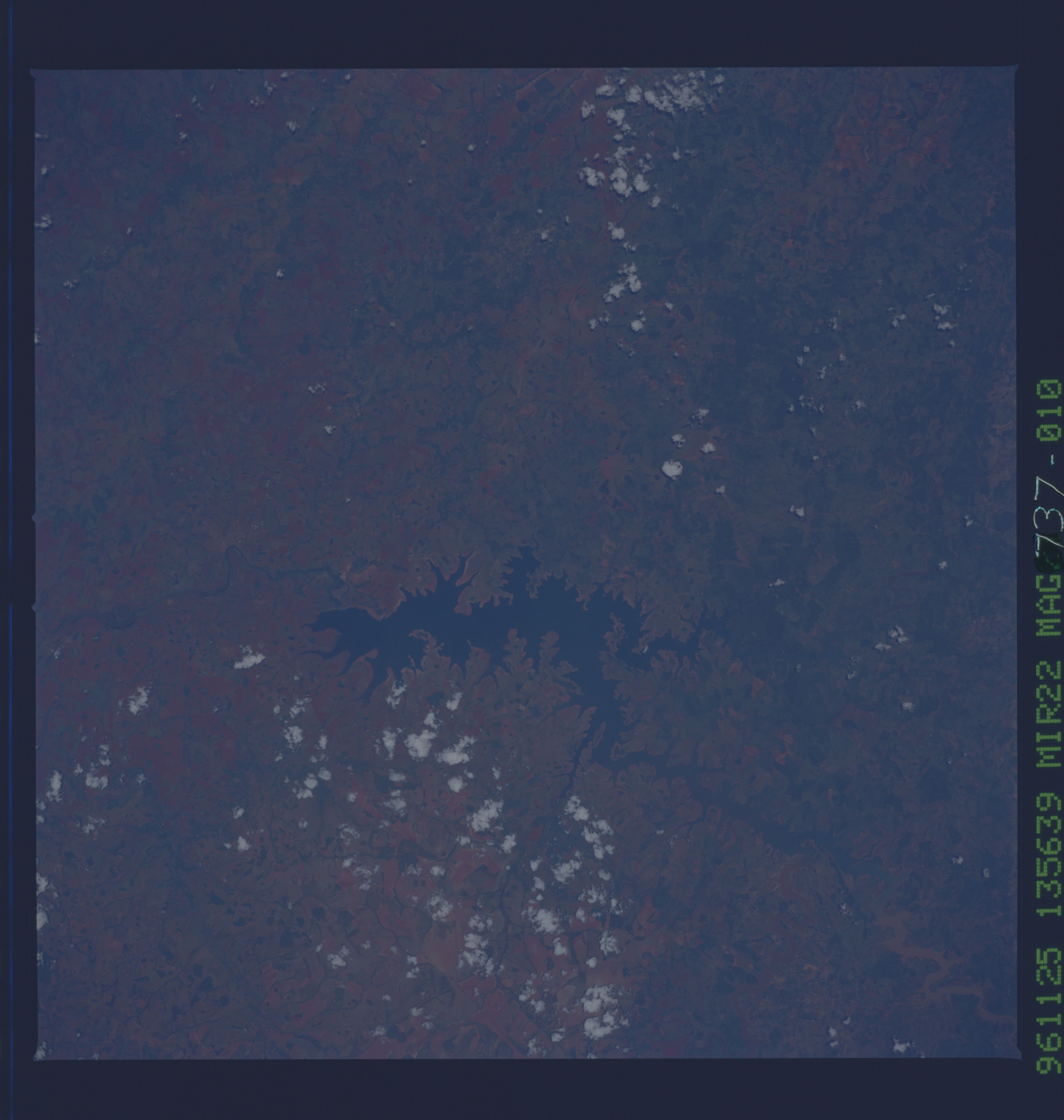
Image Caption: NM22-737-010 Paranaiba River Reservoir, Brazil Fall 1996
One of many reservoirs on the Paranaiba River in Goias and Minas Gerais States in south-central Brazil, can be seen in this west-looking view. Brazil is in the process of building many new reservoirs on its river systems for hydroelectric power and irrigation. The Paranaiba River is 500 miles (805 km) long rising in west Minas Gerais State flowing generally west through an agricultural region before joining the Rio Grande to form the Parana River. Diamonds have been found along the course of the Paranaiba, that exits the scene at the top center of the image. The dark green colors seen in the view are densly covered vegetation areas and are most prominent towards the bottom center of the image. The more reddish colors, especially to the left of the reservoir, are exposed lateritic soils that dominate this region of Brazil. The small city of Itumbiara is barely discernible to the right of the river (north) at the "U" bend in the river just to the west of the reservoir dam.
One of many reservoirs on the Paranaiba River in Goias and Minas Gerais States in south-central Brazil, can be seen in this west-looking view. Brazil is in the process of building many new reservoirs on its river systems for hydroelectric power and irrigation. The Paranaiba River is 500 miles (805 km) long rising in west Minas Gerais State flowing generally west through an agricultural region before joining the Rio Grande to form the Parana River. Diamonds have been found along the course of the Paranaiba, that exits the scene at the top center of the image. The dark green colors seen in the view are densly covered vegetation areas and are most prominent towards the bottom center of the image. The more reddish colors, especially to the left of the reservoir, are exposed lateritic soils that dominate this region of Brazil. The small city of Itumbiara is barely discernible to the right of the river (north) at the "U" bend in the river just to the west of the reservoir dam.
