NM22-735-86
| NASA Photo ID | NM22-735-86 |
| Focal Length | 100mm |
| Date taken | 1996.11.16 |
| Time taken | 07:08:07 GMT |
Cloud masks available for this image:
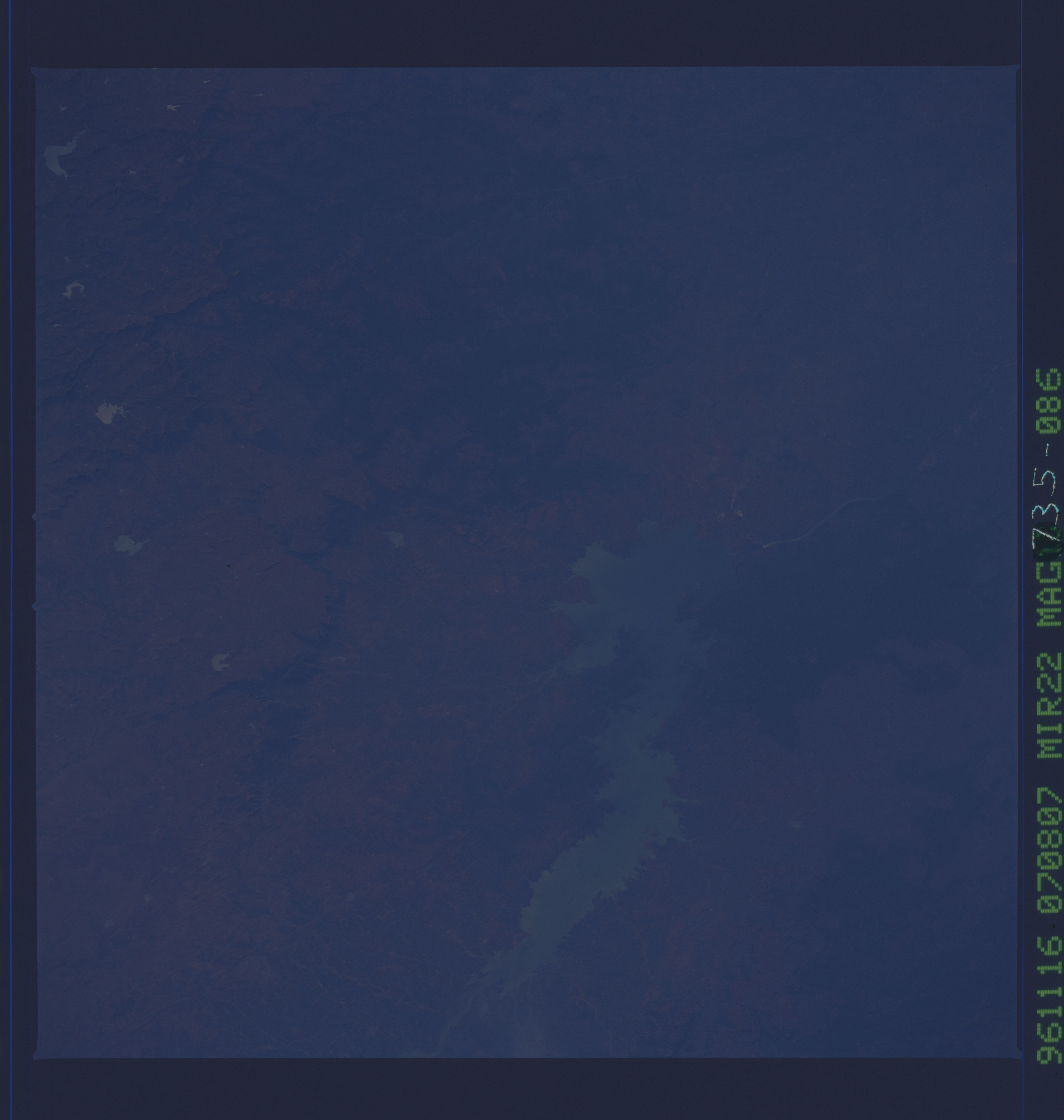
Spacecraft nadir point: 22.2° N, 76.3° E
Photo center point: 21.0° N, 74.0° E
Photo center point by machine learning:
Photo center point: 21.0° N, 74.0° E
Photo center point by machine learning:
Nadir to Photo Center: Southwest
Spacecraft Altitude: 206 nautical miles (382km)
Camera: | Hasselblad |
Focal Length: | 100mm |
Camera Tilt: | 37 degrees |
Format: | 5046: Kodak, natural color positive, Lumiere 100/5046, ASA 100, standard base |
Film Exposure: | Normal |
| Additional Information | |
| Width | Height | Annotated | Cropped | Purpose | Links |
|---|---|---|---|---|---|
| 5700 pixels | 6000 pixels | No | No | Download Image | |
| 500 pixels | 526 pixels | No | No | Download Image |
Download Packaged File
Download a Google Earth KML for this Image
View photo footprint information
Download a GeoTIFF for this photo
Image Caption: none
