NM21-768-11
| NASA Photo ID | NM21-768-11 |
| Focal Length | 250mm |
| Date taken | 1996.07.06 |
| Time taken | 17:52:35 GMT |
Resolutions offered for this image:
791 x 798 pixels 3904 x 3904 pixels 639 x 639 pixels 5700 x 6000 pixels 500 x 526 pixels
791 x 798 pixels 3904 x 3904 pixels 639 x 639 pixels 5700 x 6000 pixels 500 x 526 pixels

Cloud masks available for this image:
Spacecraft nadir point: 43.7° N, 119.7° W
Photo center point: 49.0° N, 123.0° W
Photo center point by machine learning:
Photo center point: 49.0° N, 123.0° W
Photo center point by machine learning:
Nadir to Photo Center: Northwest
Spacecraft Altitude: 207 nautical miles (383km)
Country or Geographic Name: | USA-WASHINGTON |
Features: | TOTTEN INLET, AGR., CITIES |
| Features Found Using Machine Learning: | |
Cloud Cover Percentage: | 0 (no clouds present) |
Sun Elevation Angle: | 56° |
Sun Azimuth: | 117° |
Camera: | Hasselblad |
Focal Length: | 250mm |
Camera Tilt: | Low Oblique |
Format: | 5046: Kodak, natural color positive, Lumiere 100/5046, ASA 100, standard base |
Film Exposure: | Normal |
| Additional Information | |
| Width | Height | Annotated | Cropped | Purpose | Links |
|---|---|---|---|---|---|
| 791 pixels | 798 pixels | No | No | Cities collection | Download Image |
| 3904 pixels | 3904 pixels | No | No | Earth From Space collection | Download Image |
| 639 pixels | 639 pixels | No | No | Earth From Space collection | Download Image |
| 5700 pixels | 6000 pixels | No | No | Download Image | |
| 500 pixels | 526 pixels | No | No | Download Image |
Download Packaged File
Download a Google Earth KML for this Image
View photo footprint information
Download a GeoTIFF for this photo
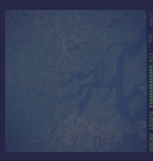
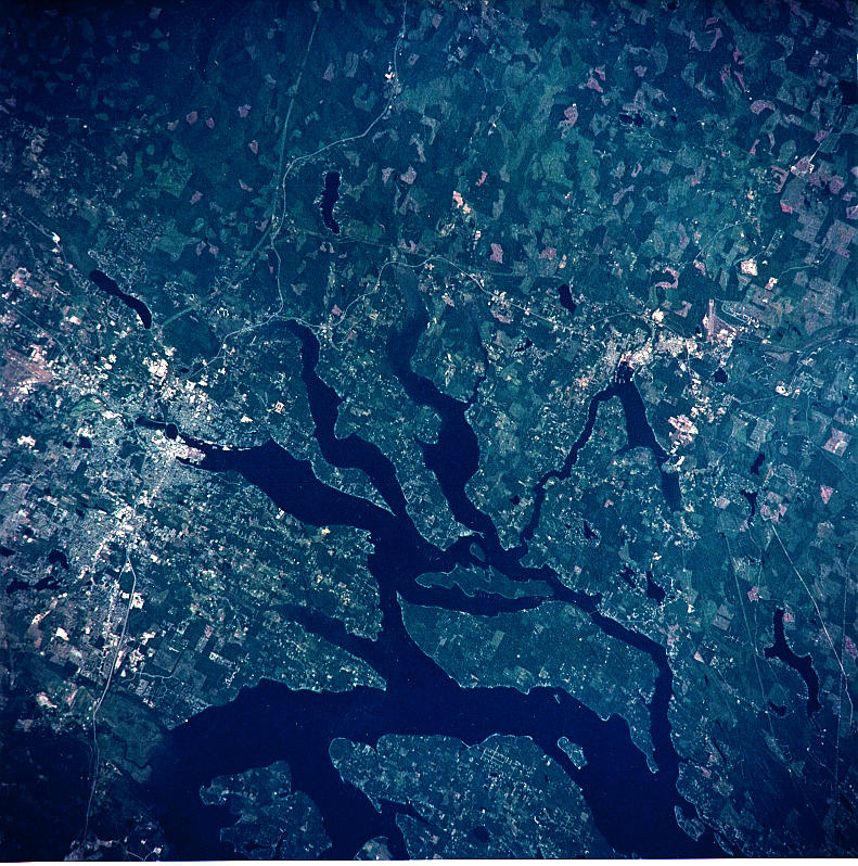
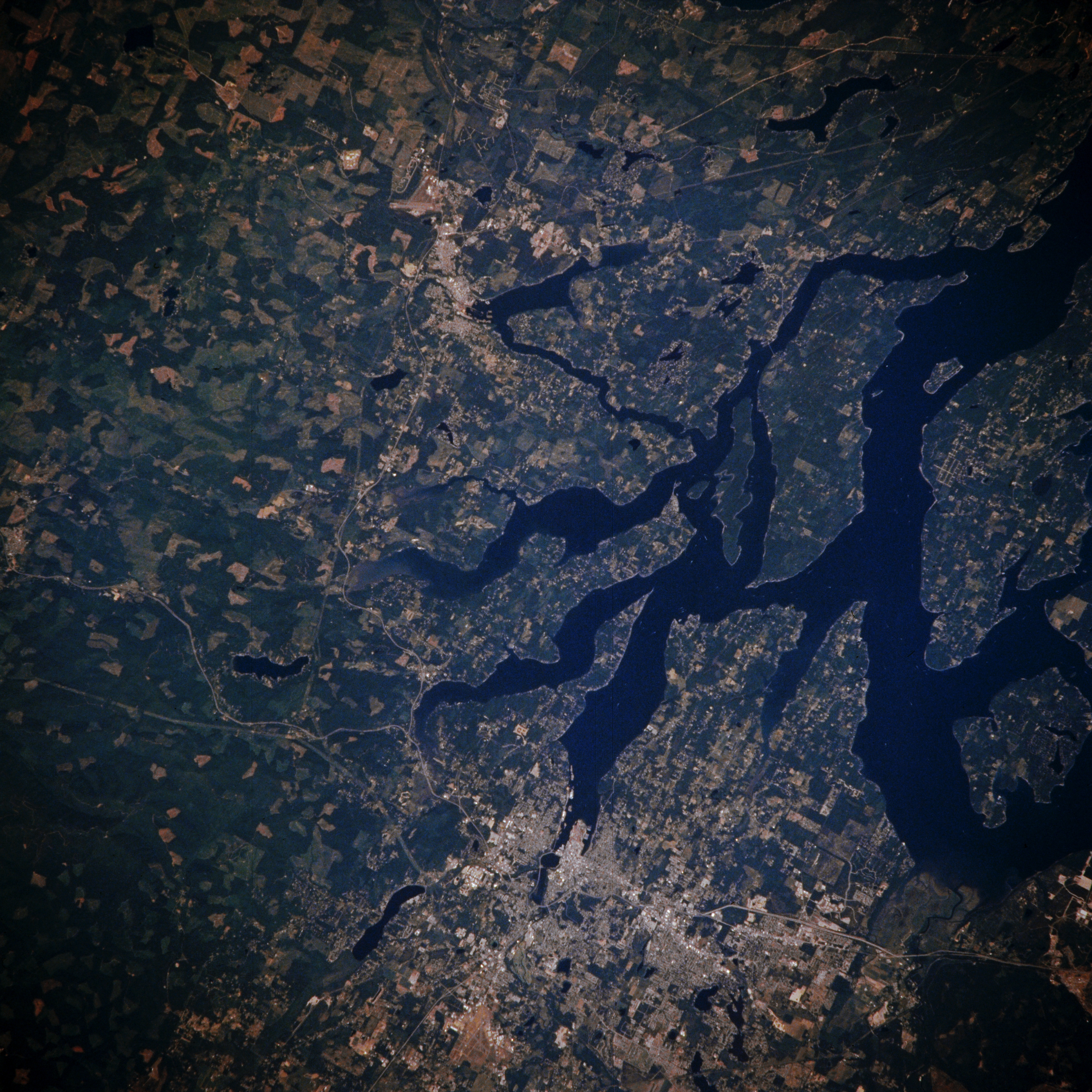
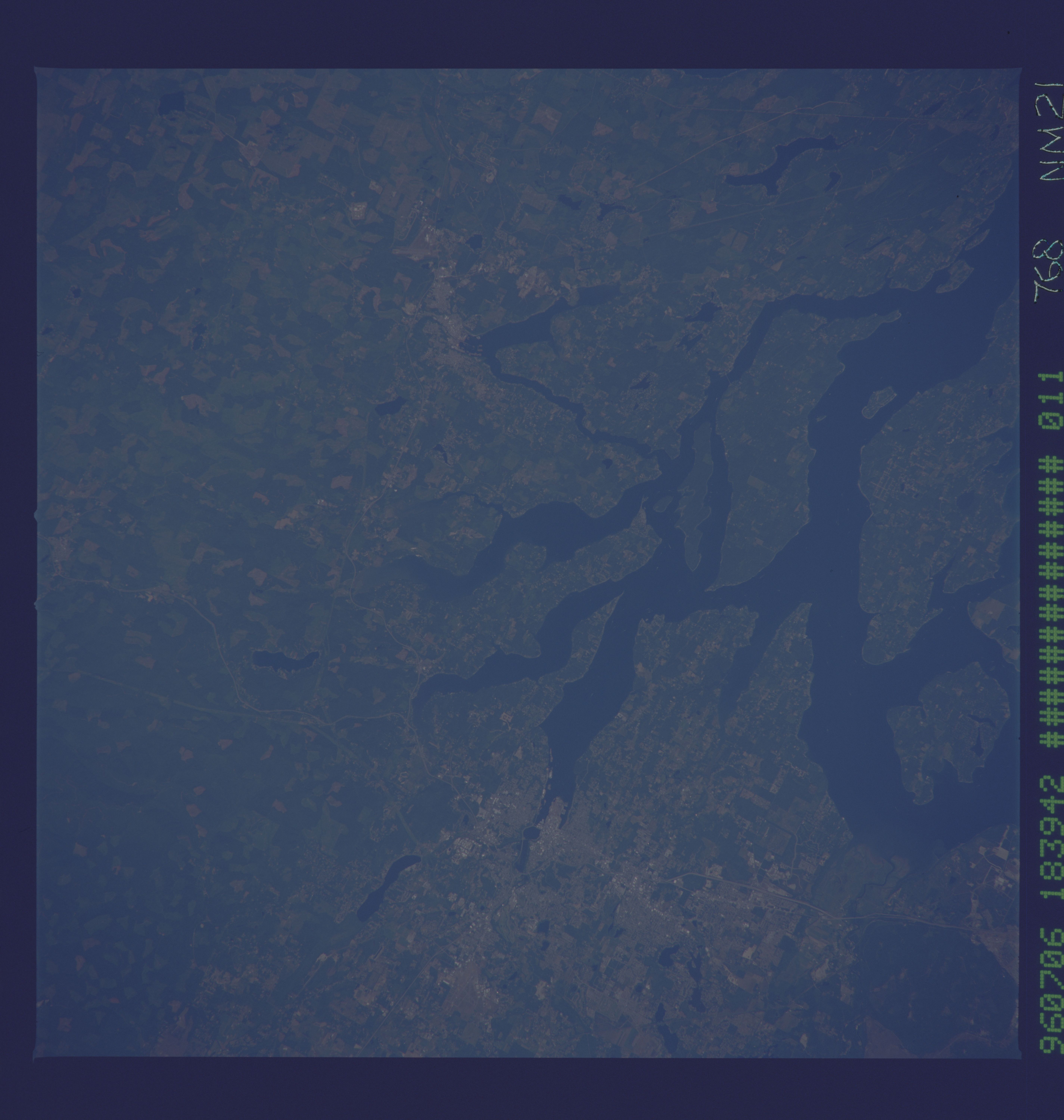
Image Caption: NM21-768-011 Olympia and Southern Puget Sound, Washington, U.S.A. Winter 1995-1996
Olympia, the capital of Washington, is visible near the bottom center of this low-oblique, northwest-looking photograph. The city, home to canneries, breweries, and oyster fisheries, sits at the southern tip of Puget Sound on Budd Inlet 60 miles (97 kilometers) south-southwest of Seattle. Olympia is a center for manufacturing and shipping lumber products. It also has a thriving produce industry. Agricultural field patterns appear west and north of the city. Interstate Highway 5, the main transportation route through the city, connects Olympia with Tacoma and Seattle, Washington; Vancouver, British Columbia; and Portland, Oregon. Midway between the top center and the center of the photograph, the small town of Shelton is visible. Mason Lake is apparent at the top right of the photograph.
Olympia, the capital of Washington, is visible near the bottom center of this low-oblique, northwest-looking photograph. The city, home to canneries, breweries, and oyster fisheries, sits at the southern tip of Puget Sound on Budd Inlet 60 miles (97 kilometers) south-southwest of Seattle. Olympia is a center for manufacturing and shipping lumber products. It also has a thriving produce industry. Agricultural field patterns appear west and north of the city. Interstate Highway 5, the main transportation route through the city, connects Olympia with Tacoma and Seattle, Washington; Vancouver, British Columbia; and Portland, Oregon. Midway between the top center and the center of the photograph, the small town of Shelton is visible. Mason Lake is apparent at the top right of the photograph.
