NM21-765-98
| NASA Photo ID | NM21-765-98 |
| Focal Length | 250mm |
| Date taken | 1996.07.__ |
| Time taken | GMT |
Resolutions offered for this image:
3904 x 3844 pixels 639 x 630 pixels 5700 x 6000 pixels 500 x 526 pixels
3904 x 3844 pixels 639 x 630 pixels 5700 x 6000 pixels 500 x 526 pixels

Cloud masks available for this image:
Spacecraft nadir point:
Photo center point: 48.0° N, 117.0° W
Photo center point by machine learning:
Photo center point: 48.0° N, 117.0° W
Photo center point by machine learning:
Nadir to Photo Center:
Spacecraft Altitude: nautical miles (0km)
Country or Geographic Name: | USA-WASHINGTON |
Features: | SPOKANE, SPOKANE R., AGR. |
| Features Found Using Machine Learning: | |
Cloud Cover Percentage: | 0 (no clouds present) |
Sun Elevation Angle: | ° |
Sun Azimuth: | ° |
Camera: | Hasselblad |
Focal Length: | 250mm |
Camera Tilt: | Low Oblique |
Format: | 5046: Kodak, natural color positive, Lumiere 100/5046, ASA 100, standard base |
Film Exposure: | Normal |
| Additional Information | |
| Width | Height | Annotated | Cropped | Purpose | Links |
|---|---|---|---|---|---|
| 3904 pixels | 3844 pixels | No | No | Earth From Space collection | Download Image |
| 639 pixels | 630 pixels | No | No | Earth From Space collection | Download Image |
| 5700 pixels | 6000 pixels | No | No | Download Image | |
| 500 pixels | 526 pixels | No | No | Download Image |
Download Packaged File
Download a Google Earth KML for this Image
View photo footprint information
Download a GeoTIFF for this photo
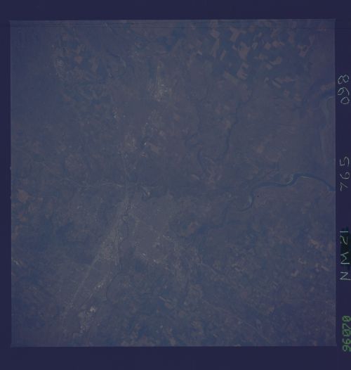
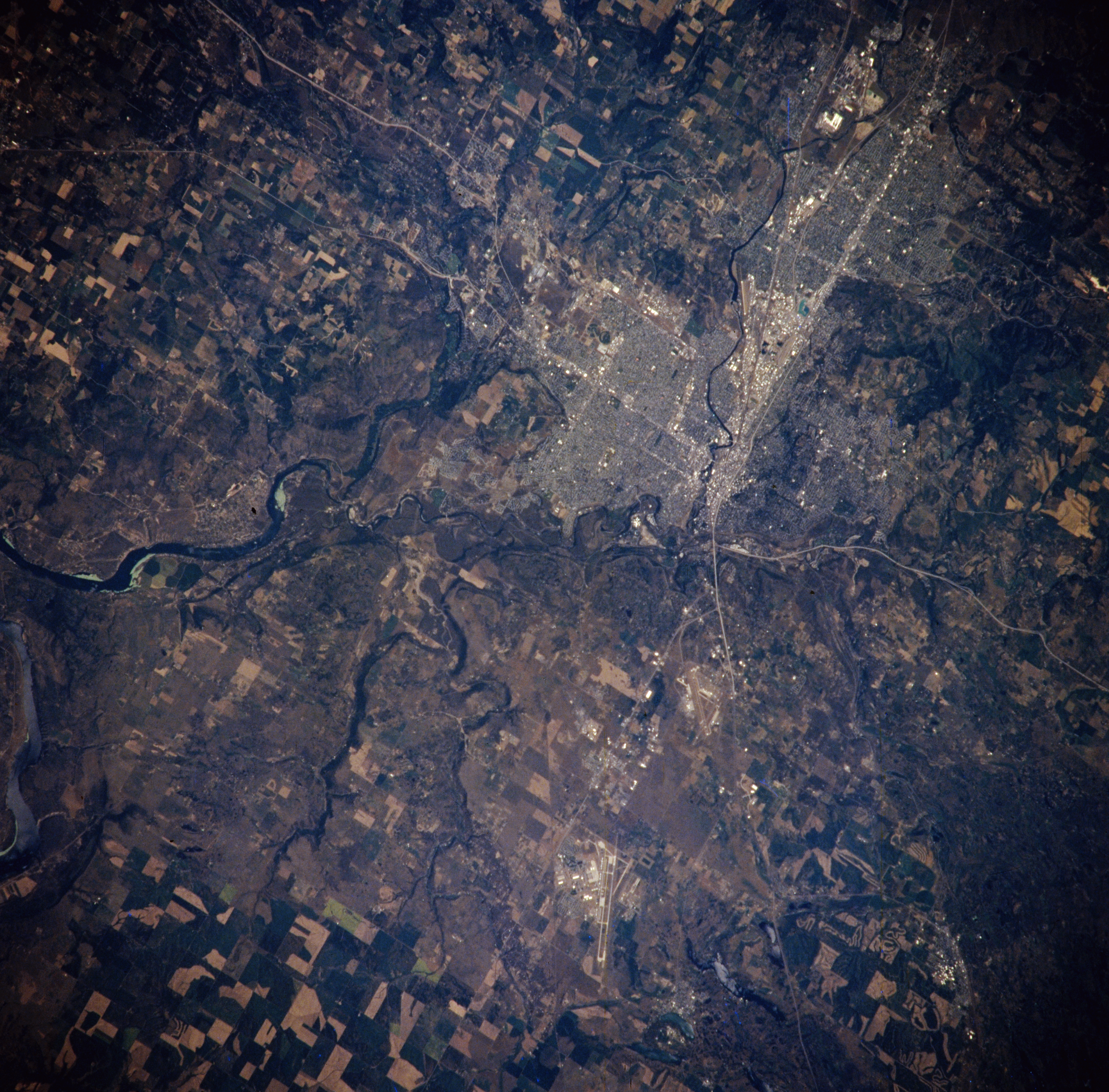
Image Caption: NM21-765-098 Spokane, Washington, U.S.A. Winter 1995-1996
Spokane, located on the falls of the Spokane River 18 miles (29 kilometers) west of the Idaho border, is featured in this northeast-looking, low-oblique photograph. Spokane is the gateway to an extensive recreational region and to a number of national and state parks. Spokane's commercial interests include food packaging; aluminum smelting; metal refining; and manufacturing of electrical equipment and lumber, paper, clay, and cement products. The irrigated farms of the surrounding Columbia Basin also contribute to the city's prosperity. Fairchild Air Force Base, west of the city, is visible near the bottom center of the photograph. Interstate Highway 90 traverses the city in an east-west direction.
Spokane, located on the falls of the Spokane River 18 miles (29 kilometers) west of the Idaho border, is featured in this northeast-looking, low-oblique photograph. Spokane is the gateway to an extensive recreational region and to a number of national and state parks. Spokane's commercial interests include food packaging; aluminum smelting; metal refining; and manufacturing of electrical equipment and lumber, paper, clay, and cement products. The irrigated farms of the surrounding Columbia Basin also contribute to the city's prosperity. Fairchild Air Force Base, west of the city, is visible near the bottom center of the photograph. Interstate Highway 90 traverses the city in an east-west direction.
