NM21-704-23
| NASA Photo ID | NM21-704-23 |
| Focal Length | 100mm |
| Date taken | 1996.03.__ |
| Time taken | GMT |
Cloud masks available for this image:
Spacecraft nadir point:
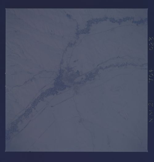
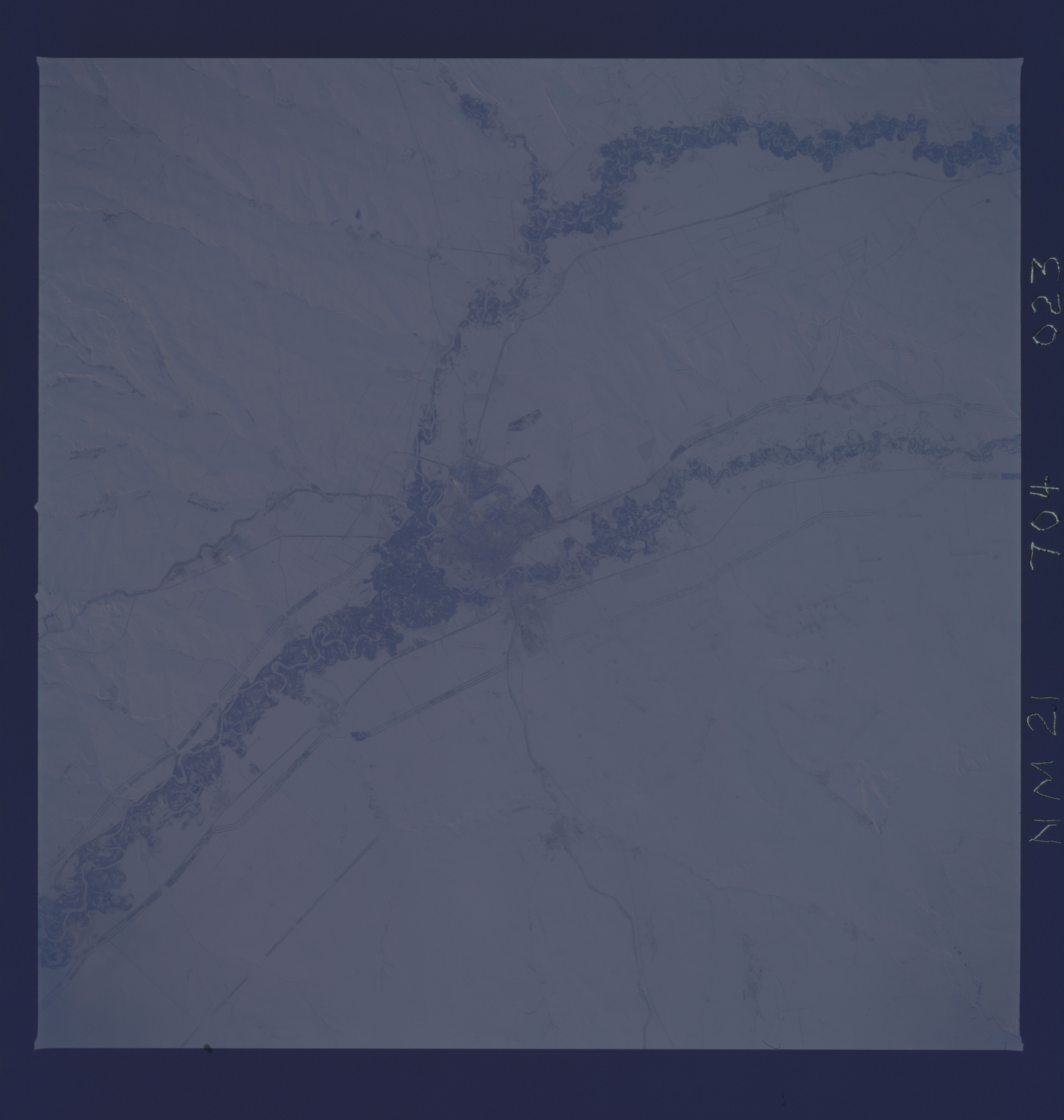
Photo center point: 52.0° N, 55.0° E
Photo center point by machine learning:
Photo center point: 52.0° N, 55.0° E
Photo center point by machine learning:
Nadir to Photo Center:
Spacecraft Altitude: nautical miles (0km)
Camera: | Hasselblad |
Focal Length: | 100mm |
Camera Tilt: | Low Oblique |
Format: | 5046: Kodak, natural color positive, Lumiere 100/5046, ASA 100, standard base |
Film Exposure: | Under Exposed |
| Additional Information | |
| Width | Height | Annotated | Cropped | Purpose | Links |
|---|---|---|---|---|---|
| 5700 pixels | 6000 pixels | No | No | Download Image | |
| 500 pixels | 526 pixels | No | No | Download Image |
Download Packaged File
Download a Google Earth KML for this Image
View photo footprint information
Download a GeoTIFF for this photo
Image Caption: The early March snow cover is still heavy, and contrasts with the gray city of Orenburg on the Ural River which flows just south of Russia's Ural Mountains. The parallel lines on both sides of the river are lines of trees called shelter belts. They are planted as wind breaks, stretch for hundreds of miles across Russia and Ukraine, and are easily observed from low Earth orbit.
