NASA7-709-83
| NASA Photo ID | NASA7-709-83 |
| Focal Length | 250mm |
| Date taken | 1998.03.09 |
| Time taken | GMT |
Resolutions offered for this image:
4091 x 4073 pixels 640 x 637 pixels 4400 x 4600 pixels 492 x 515 pixels 1285 x 1273 pixels 1285 x 1273 pixels 517 x 508 pixels
4091 x 4073 pixels 640 x 637 pixels 4400 x 4600 pixels 492 x 515 pixels 1285 x 1273 pixels 1285 x 1273 pixels 517 x 508 pixels


Cloud masks available for this image:
Spacecraft nadir point:
Photo center point: 38.0° S, 145.0° E
Photo center point by machine learning:
Photo center point: 38.0° S, 145.0° E
Photo center point by machine learning:
Nadir to Photo Center:
Spacecraft Altitude: nautical miles (0km)
Country or Geographic Name: | AUSTRALIA-NSW |
Features: | MELBOURNE, PO. PHILLIP B. |
| Features Found Using Machine Learning: | |
Cloud Cover Percentage: | 0 (no clouds present) |
Sun Elevation Angle: | ° |
Sun Azimuth: | ° |
Camera: | Hasselblad |
Focal Length: | 250mm |
Camera Tilt: | Near Vertical |
Format: | 5069: Kodak Elite 100S, E6 Reversal, Replaces Lumiere, Warmer in tone vs. Lumiere |
Film Exposure: | Normal |
| Additional Information | |
| Width | Height | Annotated | Cropped | Purpose | Links |
|---|---|---|---|---|---|
| 4091 pixels | 4073 pixels | No | No | Earth From Space collection | Download Image |
| 640 pixels | 637 pixels | No | No | Earth From Space collection | Download Image |
| 4400 pixels | 4600 pixels | No | No | Download Image | |
| 492 pixels | 515 pixels | No | No | Download Image | |
| 1285 pixels | 1273 pixels | No | No | Download Image | |
| 1285 pixels | 1273 pixels | No | No | Download Image | |
| 517 pixels | 508 pixels | Download Image |
Download Packaged File
Download a Google Earth KML for this Image
View photo footprint information
Download a GeoTIFF for this photo
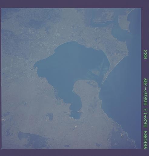
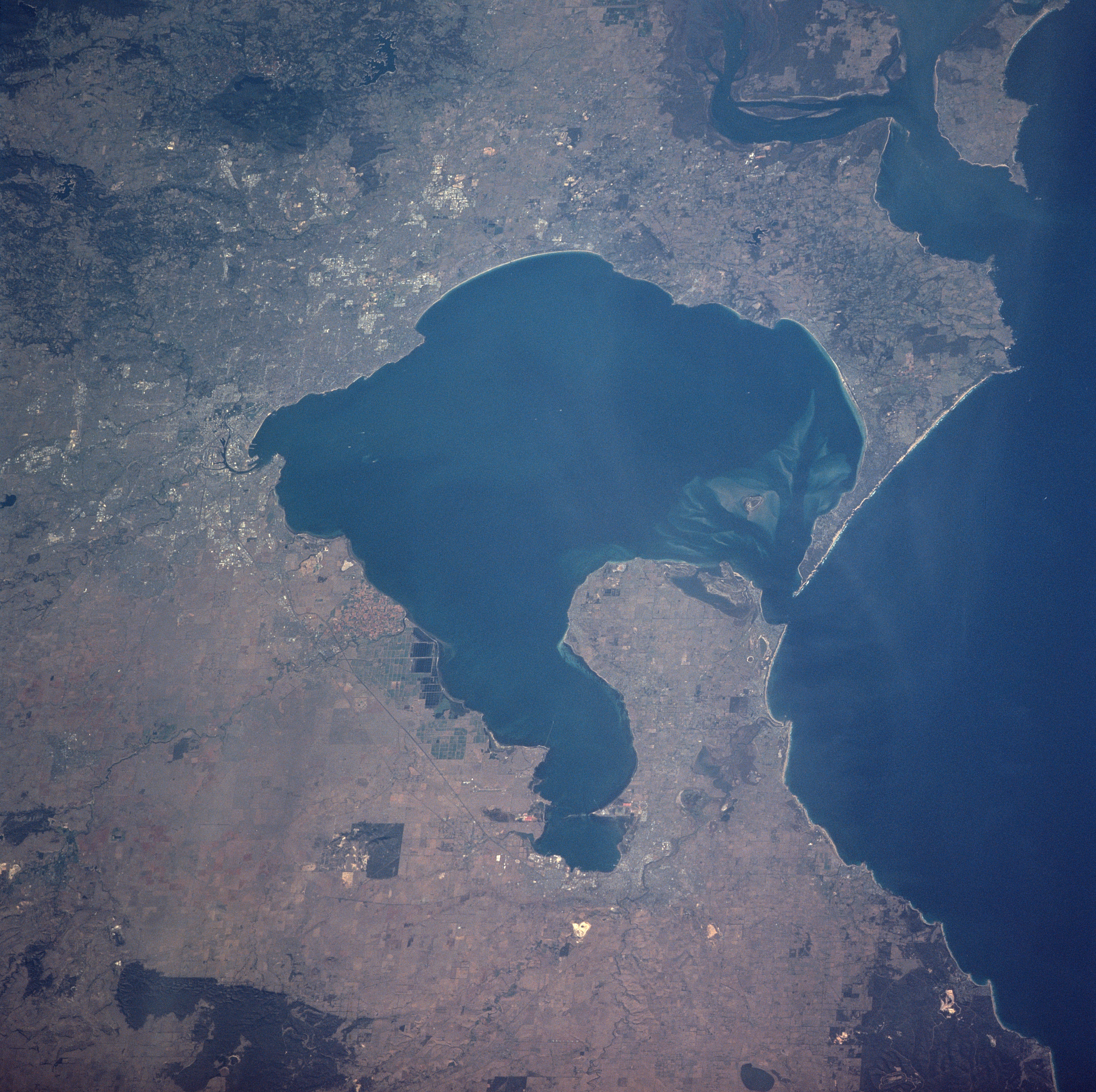
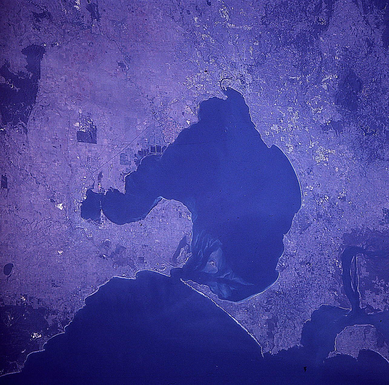
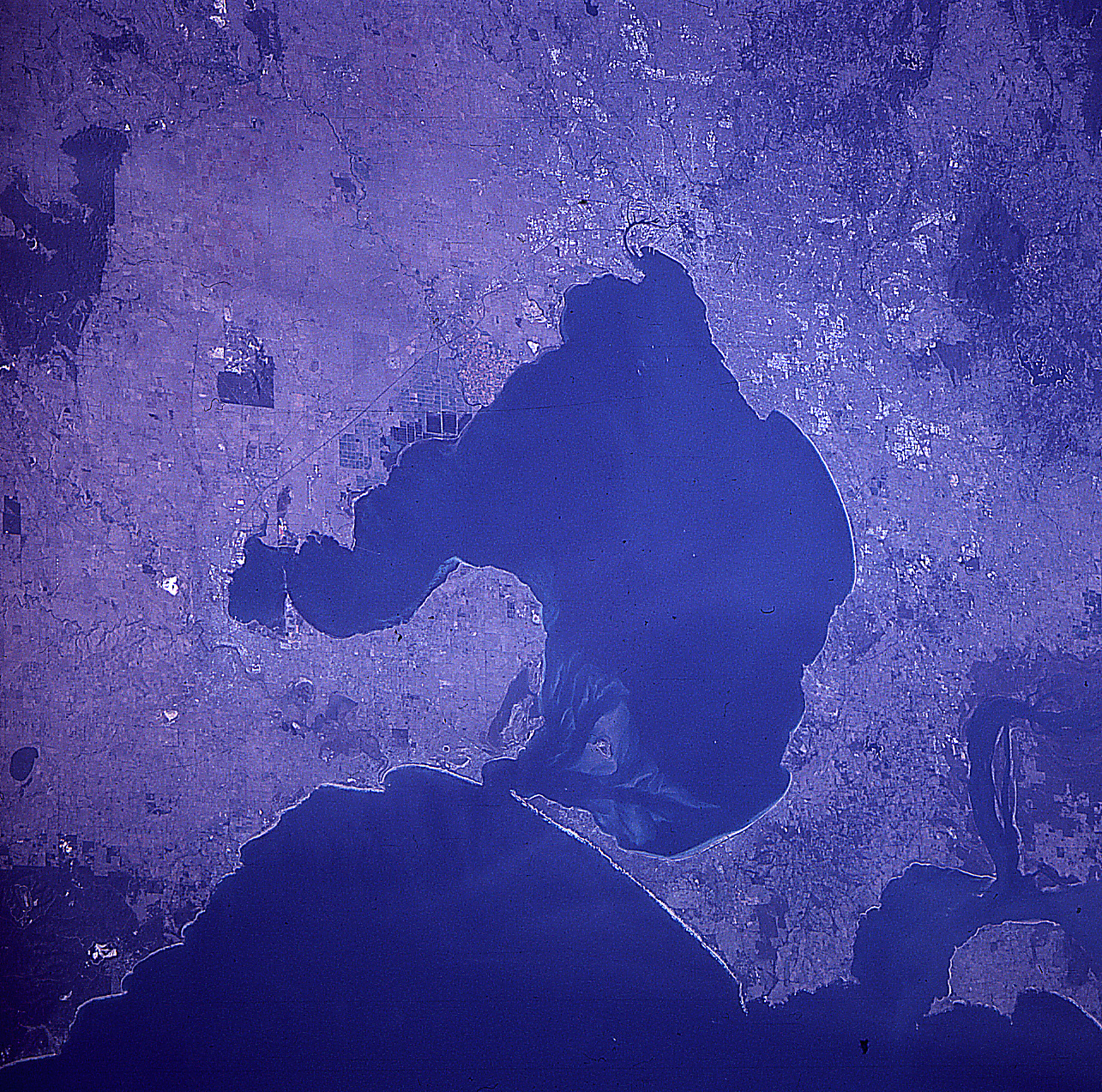
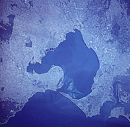
Image Caption: NASA7-709-083 Port Phillip Bay, Victoria, Australia Winter/Spring 1998
Port Phillip Bay (large, dark feature center of the image) is the key to identifying several of the major landforms in this synoptic, east-looking view of the greater Melbourne region. Sand bars, shallow water, and islands are located at the southern edge of the bay near its mouth. The smaller bay along the western extent of Port Phillip Bay is Corio Bay. The city of Geelong in located along the western rim of Corio Bay. Bellarine Peninsula forms a sizeable landmass that separates the western half of Port Phillip Bay from the waters of Bass Strait (right side of image). The metropolitan area of Melbourne, Australia's second largest city (3.5 million people) and capital of Victoria can be identified along the north, northeast side of Port Phillip Bay (left middle edge). The Yarra River Valley (thin, dark linear feature) can be traced through downtown Melbourne, as the river weaves its way from the northeast to its discharge into the north side of Port Phillip Bay. Mornington Peninsula can also be identified as the land that separates the eastern side of the large bay from Western Port Bay (upper right corner). Darker areas throughout the image show the distribution and location of forest reserves and woodlands.
Port Phillip Bay (large, dark feature center of the image) is the key to identifying several of the major landforms in this synoptic, east-looking view of the greater Melbourne region. Sand bars, shallow water, and islands are located at the southern edge of the bay near its mouth. The smaller bay along the western extent of Port Phillip Bay is Corio Bay. The city of Geelong in located along the western rim of Corio Bay. Bellarine Peninsula forms a sizeable landmass that separates the western half of Port Phillip Bay from the waters of Bass Strait (right side of image). The metropolitan area of Melbourne, Australia's second largest city (3.5 million people) and capital of Victoria can be identified along the north, northeast side of Port Phillip Bay (left middle edge). The Yarra River Valley (thin, dark linear feature) can be traced through downtown Melbourne, as the river weaves its way from the northeast to its discharge into the north side of Port Phillip Bay. Mornington Peninsula can also be identified as the land that separates the eastern side of the large bay from Western Port Bay (upper right corner). Darker areas throughout the image show the distribution and location of forest reserves and woodlands.
