ISS061-E-92131

| NASA Photo ID | ISS061-E-92131 |
| Focal Length | 500mm |
| Date taken | 2019.12.16 |
| Time taken | 11:16:06 GMT |
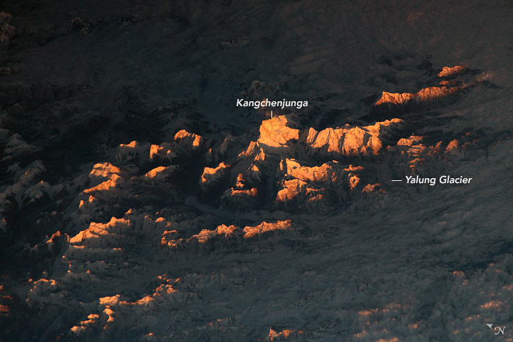
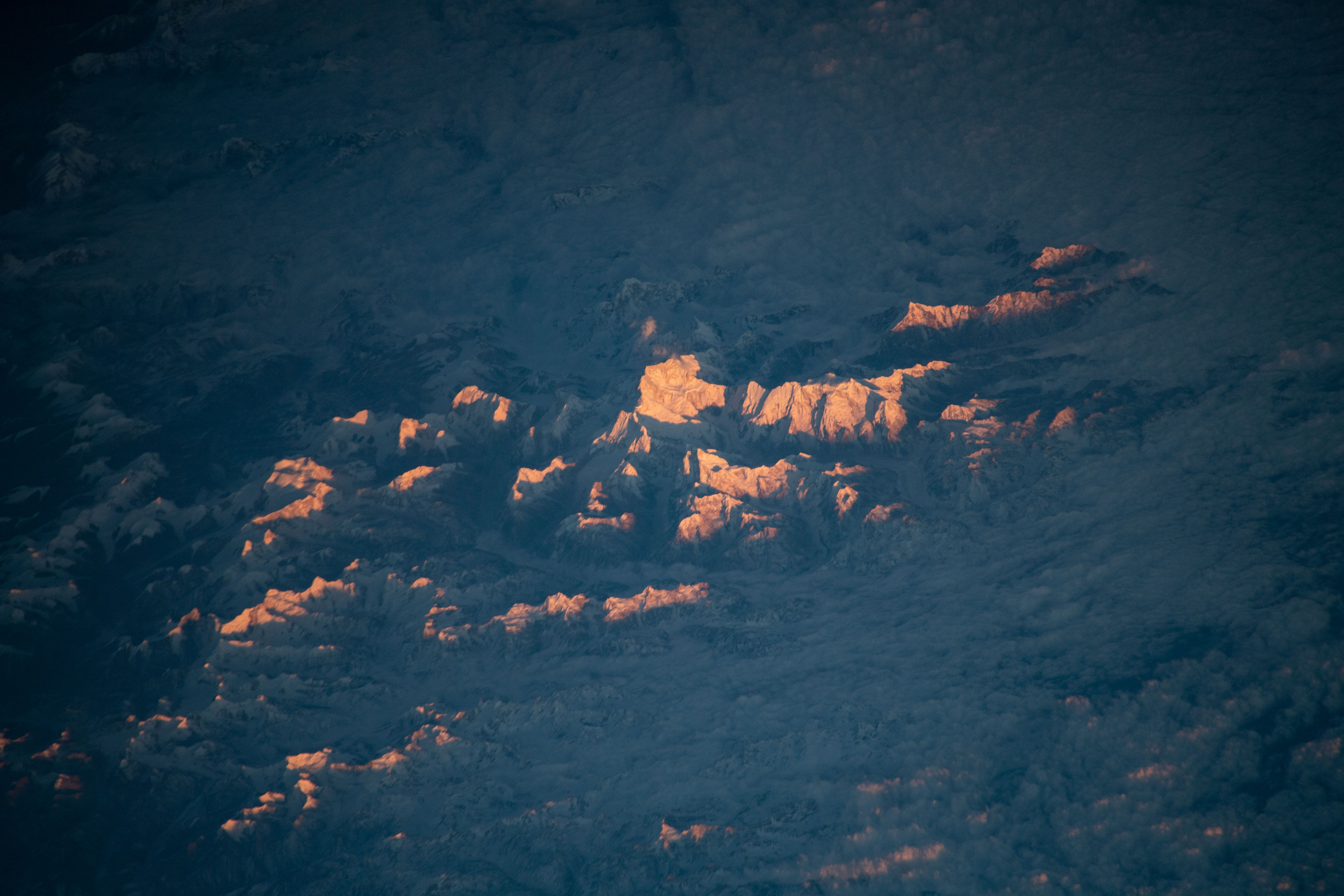


Photo center point: 27.7° N, 88.1° E
Photo center point by machine learning:
Country or Geographic Name: | NEPAL |
Features: | KANGCHENJUNGA, LELEP, YALUNG GLACIER |
| Features Found Using Machine Learning: | |
Cloud Cover Percentage: | 50 (26-50)% |
Sun Elevation Angle: | 6° |
Sun Azimuth: | 239° |
Camera: | Nikon D5 Electronic Still Camera |
Focal Length: | 500mm |
Camera Tilt: | High Oblique |
Format: | 5568E: 5568 x 3712 pixel CMOS sensor, 35.9 x 23.9 mm, total pixels: 21.33 million, Nikon FX format |
Film Exposure: | |
| Additional Information | |
| Width | Height | Annotated | Cropped | Purpose | Links |
|---|---|---|---|---|---|
| 720 pixels | 480 pixels | Yes | Yes | NASA's Earth Observatory web site | Download Image |
| 5568 pixels | 3712 pixels | No | No | Download Image | |
| 640 pixels | 427 pixels | No | No | Download Image |
As the International Space Station (ISS) was traveling over India towards the day-night terminator, an astronaut shot this photograph of Earth's third-highest summit, Kangchenjunga, and its surrounding peaks warmly lit by the setting Sun. With the Sun low in the sky, the light was passing through more atmosphere, which scatters it towards the red end of the visible spectrum.
Kangchenjunga rises more than 8500 meters (28,000 feet) above sea level. It stands in eastern Nepal near the border with India and about 120 kilometers (75 miles) east-southeast of Mount Everest. The apex of Kangchenjunga is surrounded by valley glaciers, some of which (like Yalung) are discernible in the shadows of this image. Just out of reach of the Sun's rays, a deck of low-lying clouds lingers over the valley floors.
Thirteen other mountain peaks on Earth rise higher than 8000 meters (26,000 feet). These are known by mountaineers and climbers as the "eight-thousanders." Oblique views such as this one give the dauntingly dangerous terrain a three-dimensional appearance and depth.
