ISS059-E-43267
| NASA Photo ID | ISS059-E-43267 |
| Focal Length | 56mm |
| Date taken | 2019.05.06 |
| Time taken | 09:51:56 GMT |


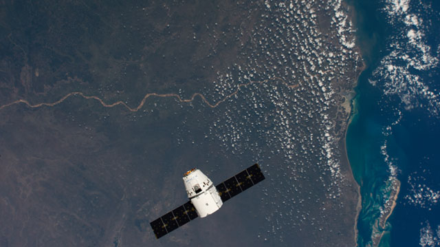
Spacecraft nadir point: 20.8° S, 34.3° E
Photo center point: 21.5° S, 34.5° E
Photo center point by machine learning:
Photo center point: 21.5° S, 34.5° E
Photo center point by machine learning:
Nadir to Photo Center: South
Spacecraft Altitude: 222 nautical miles (411km)
Country or Geographic Name: | MOZAMBIQUE |
Features: | COVANE, BATINE, BAZARUTO, MOZAMBIQUE CHANNEL |
| Features Found Using Machine Learning: | |
Cloud Cover Percentage: | 25 (11-25)% |
Sun Elevation Angle: | 53° |
Sun Azimuth: | 355° |
Camera: | Nikon D4 Electronic Still Camera |
Focal Length: | 56mm |
Camera Tilt: | 11 degrees |
Format: | 4928E: 4928 x 3280 pixel CMOS sensor, 36.0mm x 23.9mm, total pixels: 16.6 million, Nikon FX format |
Film Exposure: | |
| Additional Information | Image acquired by ISS External High Definition Camera |
| Width | Height | Annotated | Cropped | Purpose | Links |
|---|---|---|---|---|---|
| 4928 pixels | 2768 pixels | No | No | Download Image | |
| 640 pixels | 359 pixels | No | No | Download Image |
Download Packaged File
Download a Google Earth KML for this Image
View photo footprint information
Download a GeoTIFF for this photo
Image Caption: CATALOGED BY THE UNIVERSITY OF TEXAS AT EL PASO
