ISS059-E-36734
| NASA Photo ID | ISS059-E-36734 |
| Focal Length | 24mm |
| Date taken | 2019.04.28 |
| Time taken | 22:16:53 GMT |
5568 x 3712 pixels 720 x 480 pixels 5568 x 3712 pixels 640 x 427 pixels
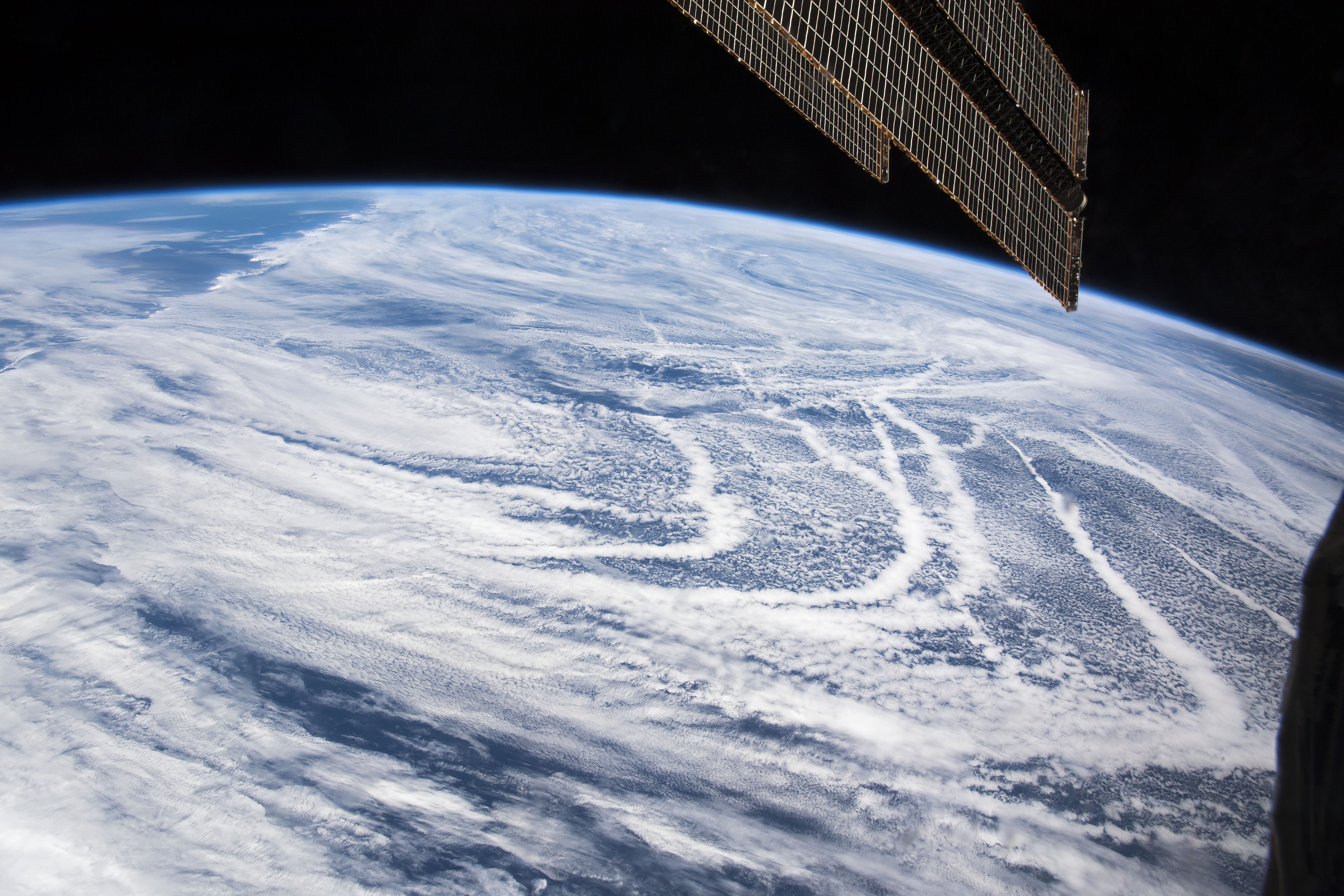
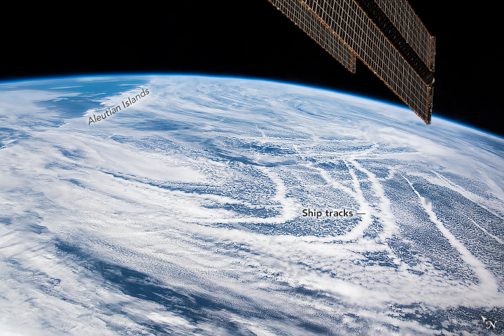
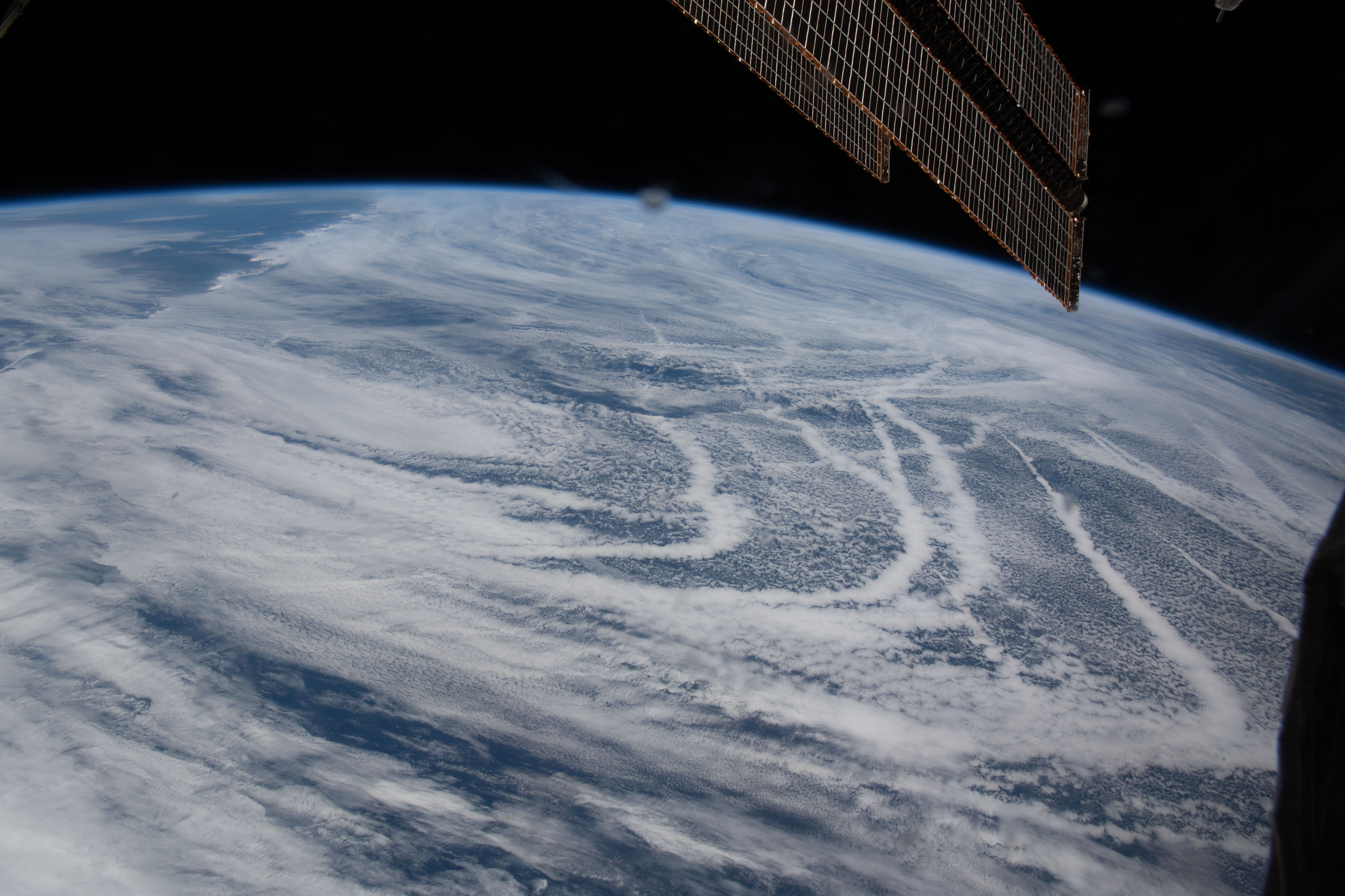

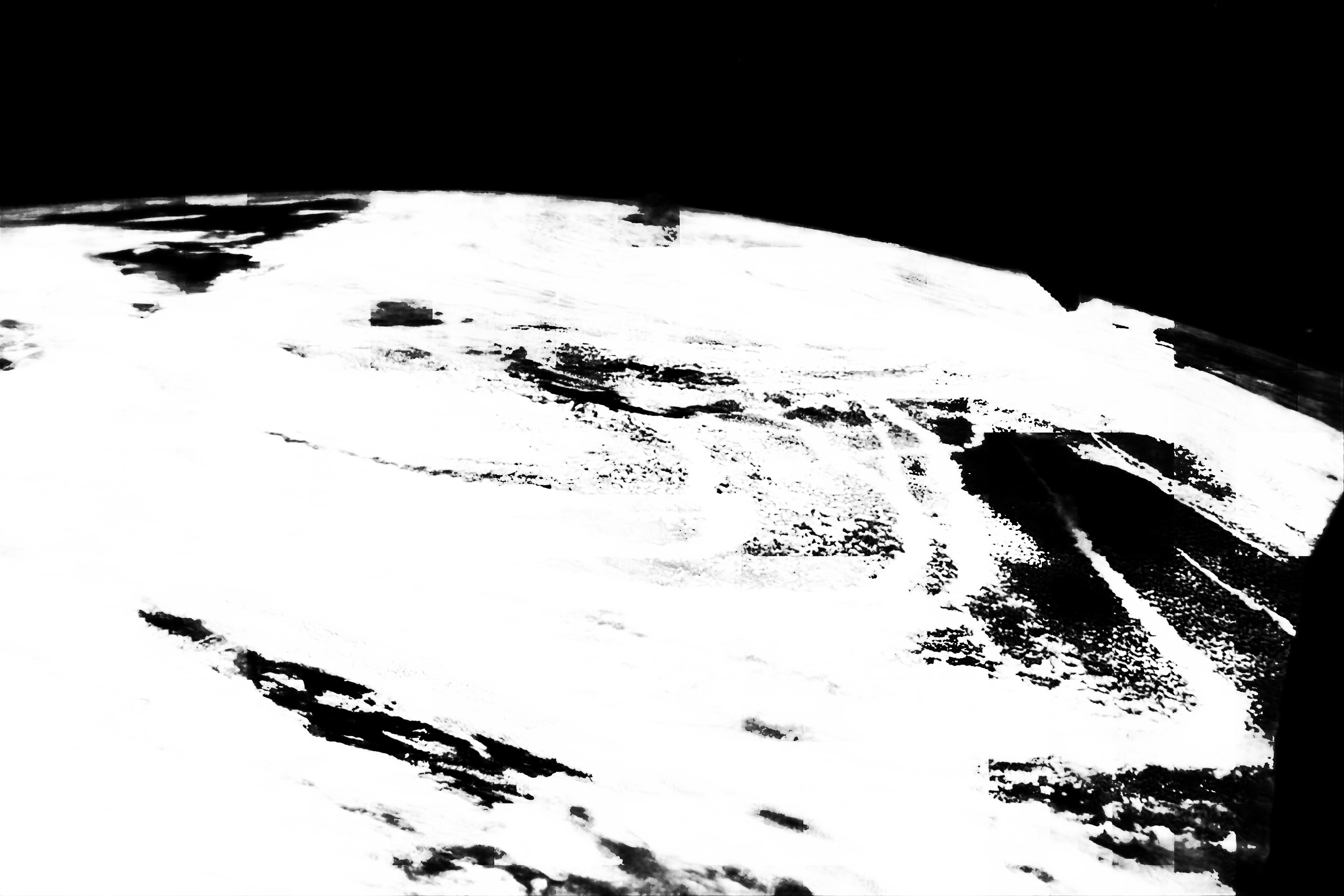
Photo center point:
Photo center point by machine learning:
Country or Geographic Name: | |
Features: | |
| Features Found Using Machine Learning: | |
Cloud Cover Percentage: | 83 (76-100)% |
Sun Elevation Angle: | 54° |
Sun Azimuth: | 141° |
Camera: | NIKON D5 S/N: 3502524 |
Focal Length: | 24mm |
Camera Tilt: | |
Format: | |
Film Exposure: | |
| Additional Information | |
| Width | Height | Annotated | Cropped | Purpose | Links |
|---|---|---|---|---|---|
| 5568 pixels | 3712 pixels | No | No | NASA's Earth Observatory web site | Download Image |
| 720 pixels | 480 pixels | Yes | Yes | NASA's Earth Observatory web site | Download Image |
| 5568 pixels | 3712 pixels | No | No | Download Image | |
| 640 pixels | 427 pixels | No | No | Download Image |
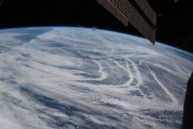
Using a short lens to give a wide view, an astronaut on the International Space Station (ISS) focused on at least a dozen thin lines stretching across the North Pacific Ocean near the Aleutian Islands. The thin lines were first interpreted to be contrails, but a former Naval oceanographer (now an ISS payload scientist) in the NASA's Earth Science and Remote Sensing (ESRS) office recognized them as ship tracks. A solar panel of the ISS cuts into the top right of the photograph.
Ship tracks generally form under stable, fairly calm atmospheric conditions where there is a temperature inversion (warm air above the layer of cooler air). Particles emitted from the smoke stacks of ships are carried up into the atmosphere and act as cloud condensation nuclei in the low-level clouds. Water molecules cling to these particles and make smaller and denser cloud droplets within stable marine-layer air masses. The cloud lines trace out the curved trajectories of ships. This is a well-known phenomenon to scientists and weather forecasters who study the atmosphere and aerosols.
Under light wind conditions, ship tracks can remain visible for many hours. The same cloud patterns and ship tracks were also visible that day in imagery from the MODIS instrument on NASA’s Terra satellite.
