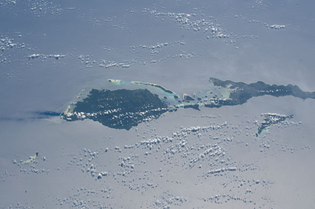
ISS052-E-44990
| NASA Photo ID | ISS052-E-44990 |
| Focal Length | 140mm |
| Date taken | 2017.08.13 |
| Time taken | 00:07:39 GMT |
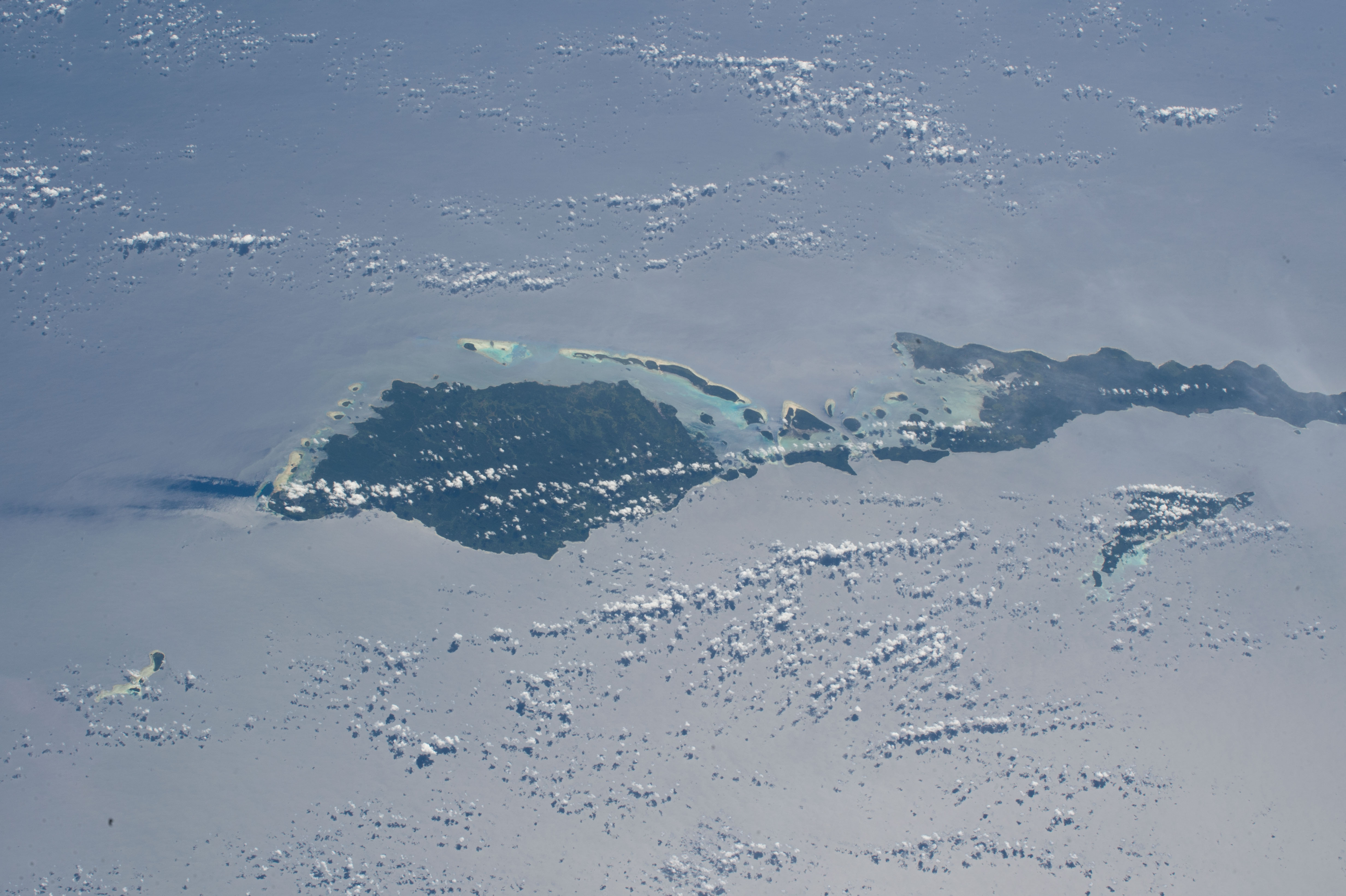
Spacecraft nadir point: 4.4° S, 148.1° E
Photo center point: 2.6° S, 150.4° E
Photo center point by machine learning:
Photo center point: 2.6° S, 150.4° E
Photo center point by machine learning:
Nadir to Photo Center: Northeast
Spacecraft Altitude: 221 nautical miles (409km)
Country or Geographic Name: | PAPUA NEW GUINEA |
Features: | PUBLIC INPUTS (from public image detectives, not NASA): GAZELLE CHANNEL,MANNE ISLAND,TSALUI ISLAND,TINGWON ISLANDS REEF,DYAUL ISLAND,LAVONGAI,TSOILAUNUNG ISLAND,SELAPIU ISLAND,NEW HANOVER ISLAND |
| Features Found Using Machine Learning: | |
Cloud Cover Percentage: | 50 (26-50)% |
Sun Elevation Angle: | 54° |
Sun Azimuth: | 58° |
Camera: | Nikon D4 Electronic Still Camera |
Focal Length: | 140mm |
Camera Tilt: | 38 degrees |
Format: | 4928E: 4928 x 3280 pixel CMOS sensor, 36.0mm x 23.9mm, total pixels: 16.6 million, Nikon FX format |
Film Exposure: | |
| Additional Information | |
| Width | Height | Annotated | Cropped | Purpose | Links |
|---|---|---|---|---|---|
| 4928 pixels | 3280 pixels | No | No | Download Image | |
| 640 pixels | 426 pixels | No | No | Download Image |
Download Packaged File
Download a Google Earth KML for this Image
View photo footprint information
Download a GeoTIFF for this photo
Image Caption: none
