ISS042-E-135235

| NASA Photo ID | ISS042-E-135235 |
| Focal Length | 800mm |
| Date taken | 2015.01.14 |
| Time taken | 17:07:37 GMT |
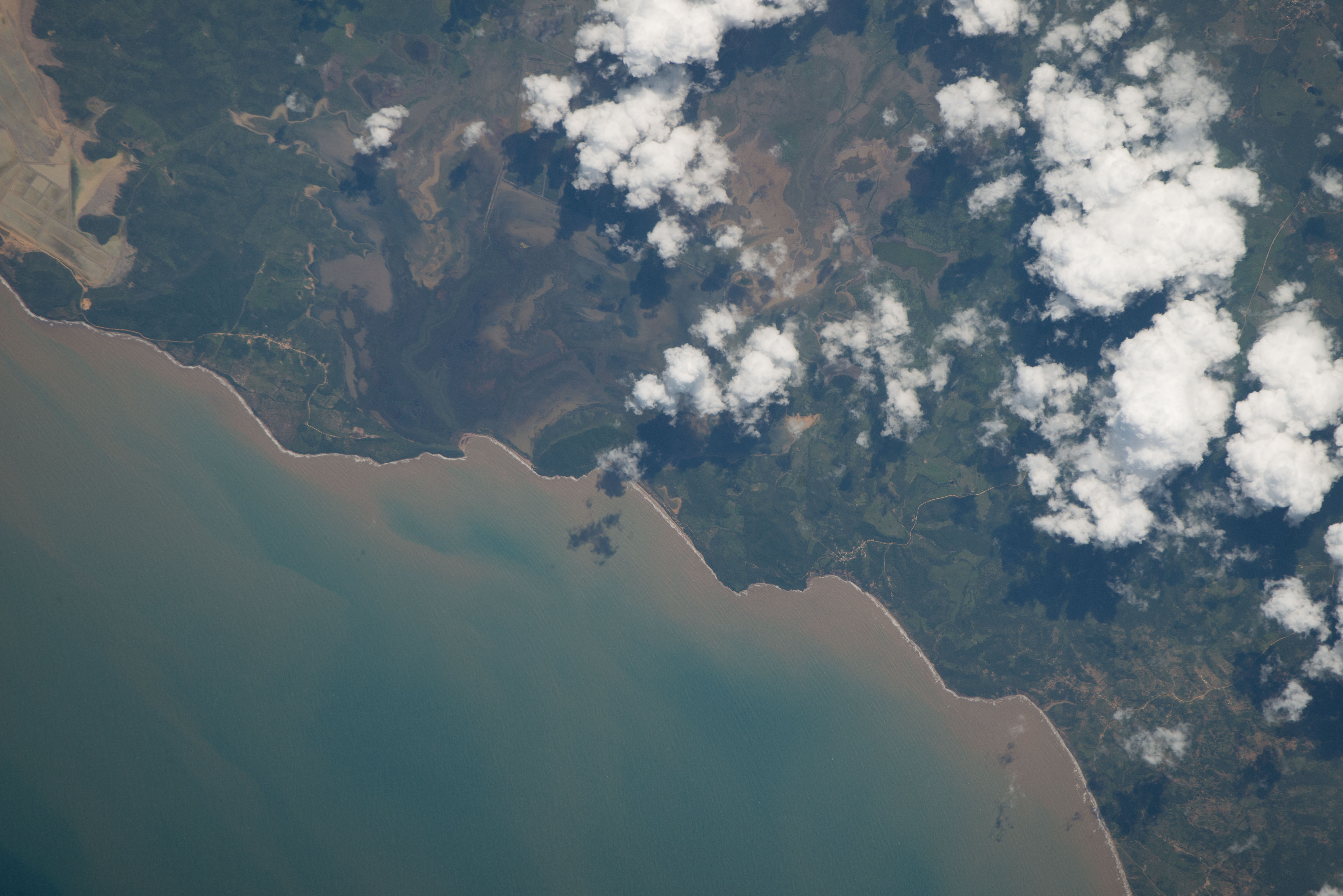

Spacecraft nadir point: 9.8° N, 68.4° W
Photo center point: 11.4° N, 69.0° W
Photo center point by machine learning:
Photo center point: 11.4° N, 69.0° W
Photo center point by machine learning:
Nadir to Photo Center: North
Spacecraft Altitude: 219 nautical miles (406km)
Country or Geographic Name: | VENEZUELA |
Features: | PUBLIC INPUTS (from public image detectives, not NASA): VENEZUELA, CARIBBEAN SEA, (11.429937, -68.995907),VENEZUELA, CARRIBEAN SEA, PUNTA LA PENITA, PUNTA GUARABA, PUNTA LOS FRAILES, PUNTA CRISTAL, BOCA GUEQUE, SALINA DE SAUCA,VENEZUELA, 11.43,-68.99,EL POZO VENEZUELA, CAMPECHANO VENEZUELA, SALINA DE SAUCA |
| Features Found Using Machine Learning: | |
Cloud Cover Percentage: | 25 (11-25)% |
Sun Elevation Angle: | 58° |
Sun Azimuth: | 191° |
Camera: | Nikon D800E Electronic Still Camera |
Focal Length: | 800mm |
Camera Tilt: | 25 degrees |
Format: | 7360E: 7360 x 4912 pixel CMOS sensor, 35.9mm x 24.0mm, total pixels: 36.8 million, Nikon FX format |
Film Exposure: | |
| Additional Information | |
| Width | Height | Annotated | Cropped | Purpose | Links |
|---|---|---|---|---|---|
| 7360 pixels | 4912 pixels | No | No | Download Image | |
| 640 pixels | 427 pixels | No | No | Download Image |
Download Packaged File
Download a Google Earth KML for this Image
View photo footprint information
Download a GeoTIFF for this photo
Image Caption: none
