ISS041-E-100557
| NASA Photo ID | ISS041-E-100557 |
| Focal Length | 800mm |
| Date taken | 2014.10.25 |
| Time taken | 16:22:39 GMT |
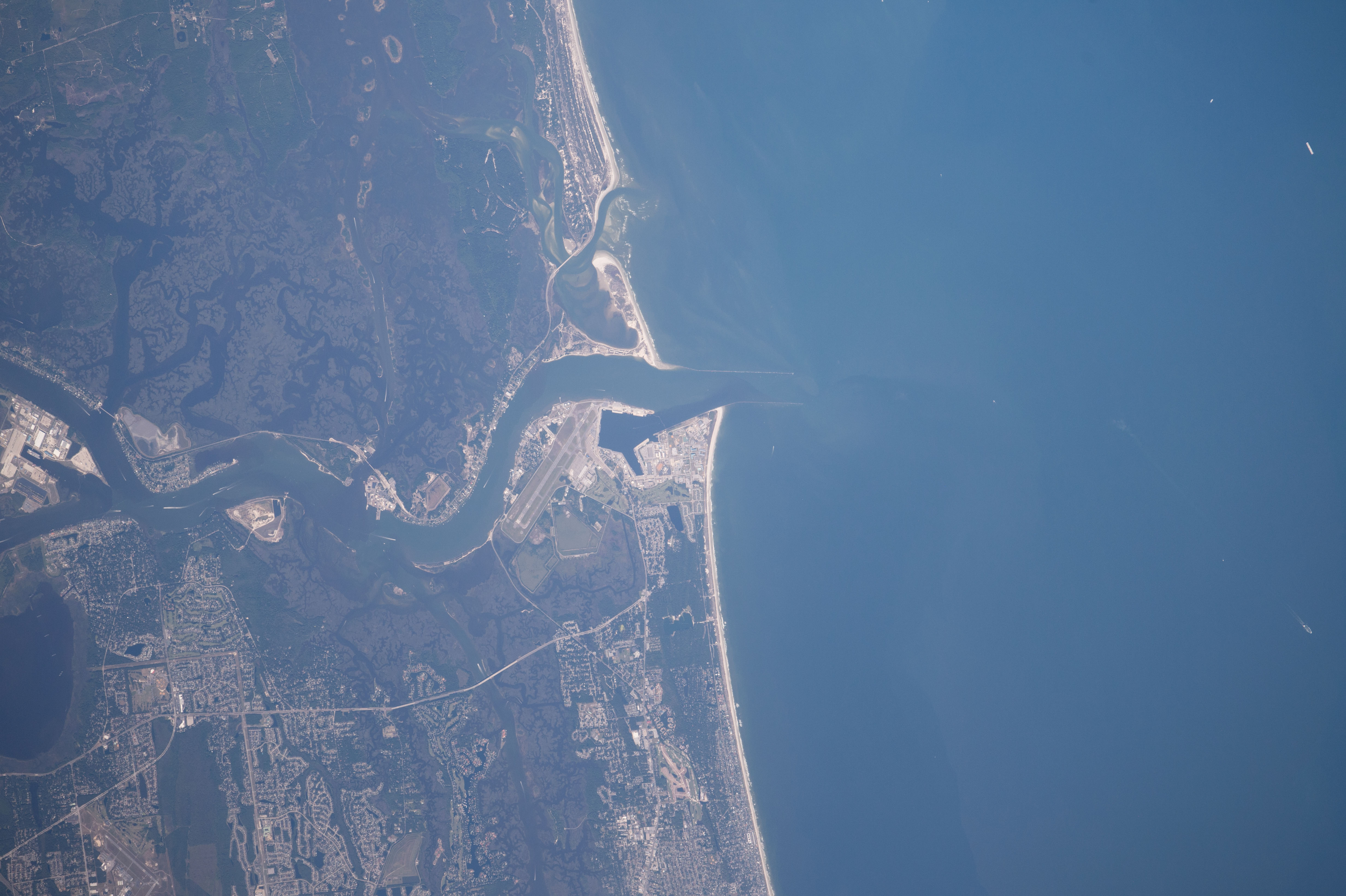


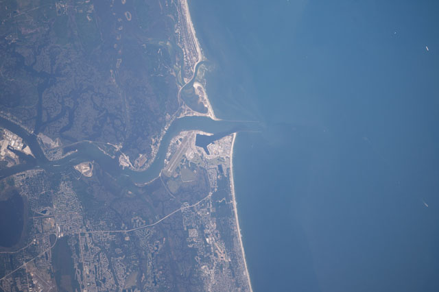
Spacecraft nadir point: 30.3° N, 79.5° W
Photo center point: 30.4° N, 81.4° W
Photo center point by machine learning:
Photo center point: 30.4° N, 81.4° W
Photo center point by machine learning:
Nadir to Photo Center: West
Spacecraft Altitude: 222 nautical miles (411km)
Country or Geographic Name: | USA-FLORIDA |
Features: | PUBLIC INPUTS (from public image detectives, not NASA): FLORIDA, ST JOHNS RIVER, ATLANTIC OCEAN, FORT GEORGE INLET, HAULOVER CREEK, MAYPORT BASIN, MAYPORT NAVAL STATION. ST JOHNS POINT,MAYPORT, MAYPORT NAVAL STATION, ST JOHNS RIVER, FORT GEORGE INLET, JACKSONVILLE,FLORIDA, JACKSONVILLE, TIMUCUAN ECOLOGICAL AND HISTORIC PRESERVE. BLOUNT ISLAND, ST JOHNS RIVER,USA, FLORIDA, JACKSONVILLE, NAVAL STATION MAYPORT, ST JOHN'S RIVER,USA, FLORIDA, ST JOHNS RIVER, FORT GEORGE ISLAND CULTURAL STATE PARK, MAYPORT, KATHRYN ABBEY HANNA PARK, EAST ARLINGTON, ATLANTIC BEACH, 30.39,-81.40 |
| Features Found Using Machine Learning: | |
Cloud Cover Percentage: | 10 (1-10)% |
Sun Elevation Angle: | 47° |
Sun Azimuth: | 166° |
Camera: | Nikon D4 Electronic Still Camera |
Focal Length: | 800mm |
Camera Tilt: | 27 degrees |
Format: | 4928E: 4928 x 3280 pixel CMOS sensor, 36.0mm x 23.9mm, total pixels: 16.6 million, Nikon FX format |
Film Exposure: | |
| Additional Information | |
| Width | Height | Annotated | Cropped | Purpose | Links |
|---|---|---|---|---|---|
| 4928 pixels | 3280 pixels | No | No | Download Image | |
| 640 pixels | 426 pixels | No | No | Download Image |
Download Packaged File
Download a Google Earth KML for this Image
View photo footprint information
Download a GeoTIFF for this photo
Image Caption: none
