ISS037-E-211
| NASA Photo ID | ISS037-E-211 |
| Focal Length | 180mm |
| Date taken | 2013.09.12 |
| Time taken | 08:22:59 GMT |
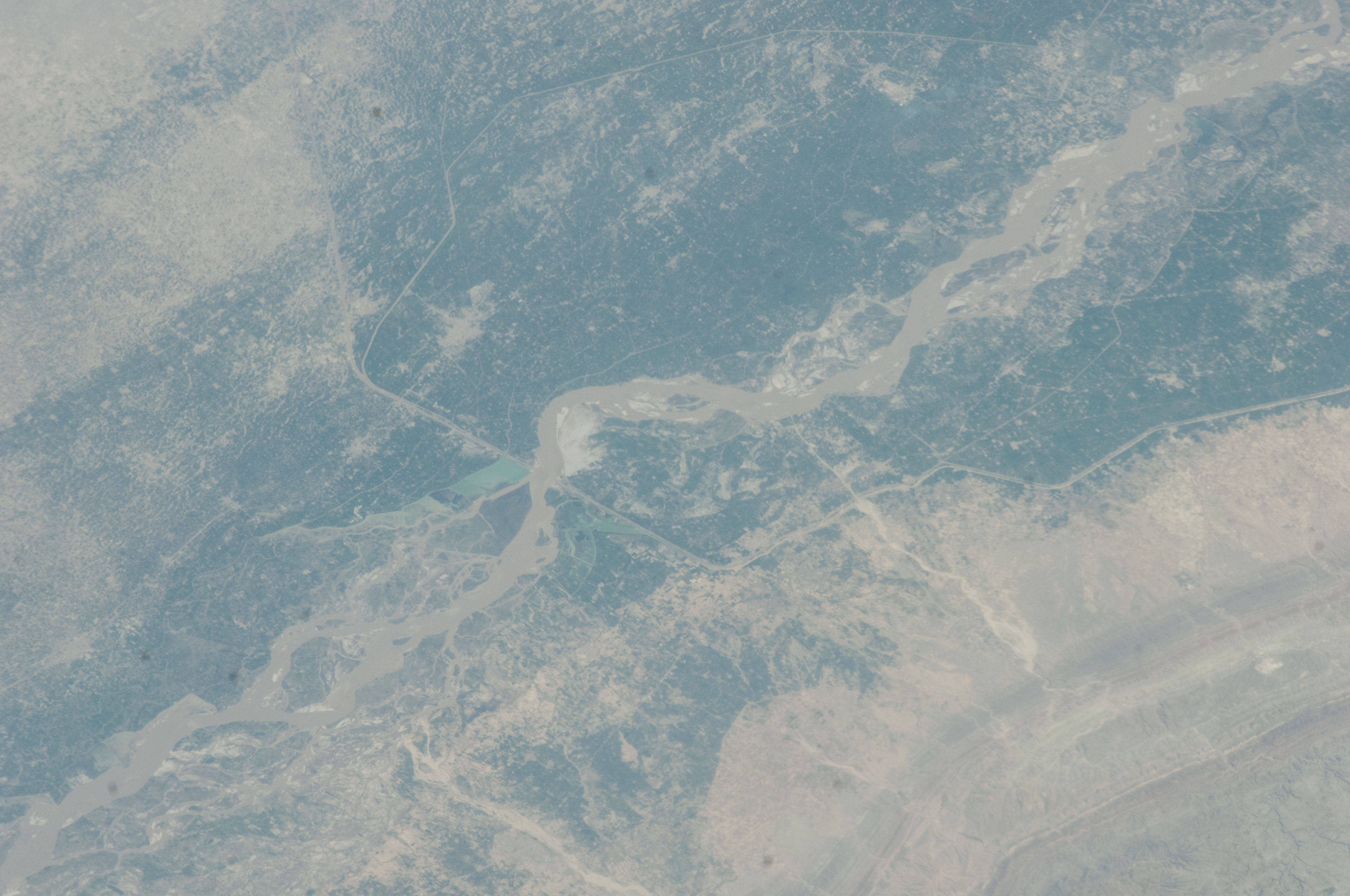


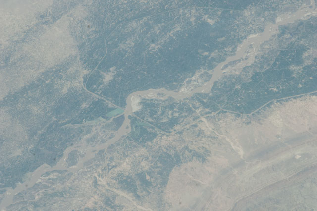
Spacecraft nadir point: 33.4° N, 68.0° E
Photo center point: 30.4° N, 70.8° E
Photo center point by machine learning:
Photo center point: 30.4° N, 70.8° E
Photo center point by machine learning:
Nadir to Photo Center: Southeast
Spacecraft Altitude: 222 nautical miles (411km)
Country or Geographic Name: | PAKISTAN |
Features: | INDUS R. FLOODPLAIN, KACHHI CANAL |
| Features Found Using Machine Learning: | |
Cloud Cover Percentage: | 10 (1-10)% |
Sun Elevation Angle: | 58° |
Sun Azimuth: | 208° |
Camera: | Nikon D2Xs Electronic Still Camera |
Focal Length: | 180mm |
Camera Tilt: | 48 degrees |
Format: | 4288E: 4288 x 2848 pixel CMOS sensor, RGBG imager color filter |
Film Exposure: | |
| Additional Information | |
| Width | Height | Annotated | Cropped | Purpose | Links |
|---|---|---|---|---|---|
| 4288 pixels | 2848 pixels | No | No | Download Image | |
| 640 pixels | 425 pixels | No | No | Download Image |
Download Packaged File
Download a Google Earth KML for this Image
View photo footprint information
Download a GeoTIFF for this photo
Image Caption: none
