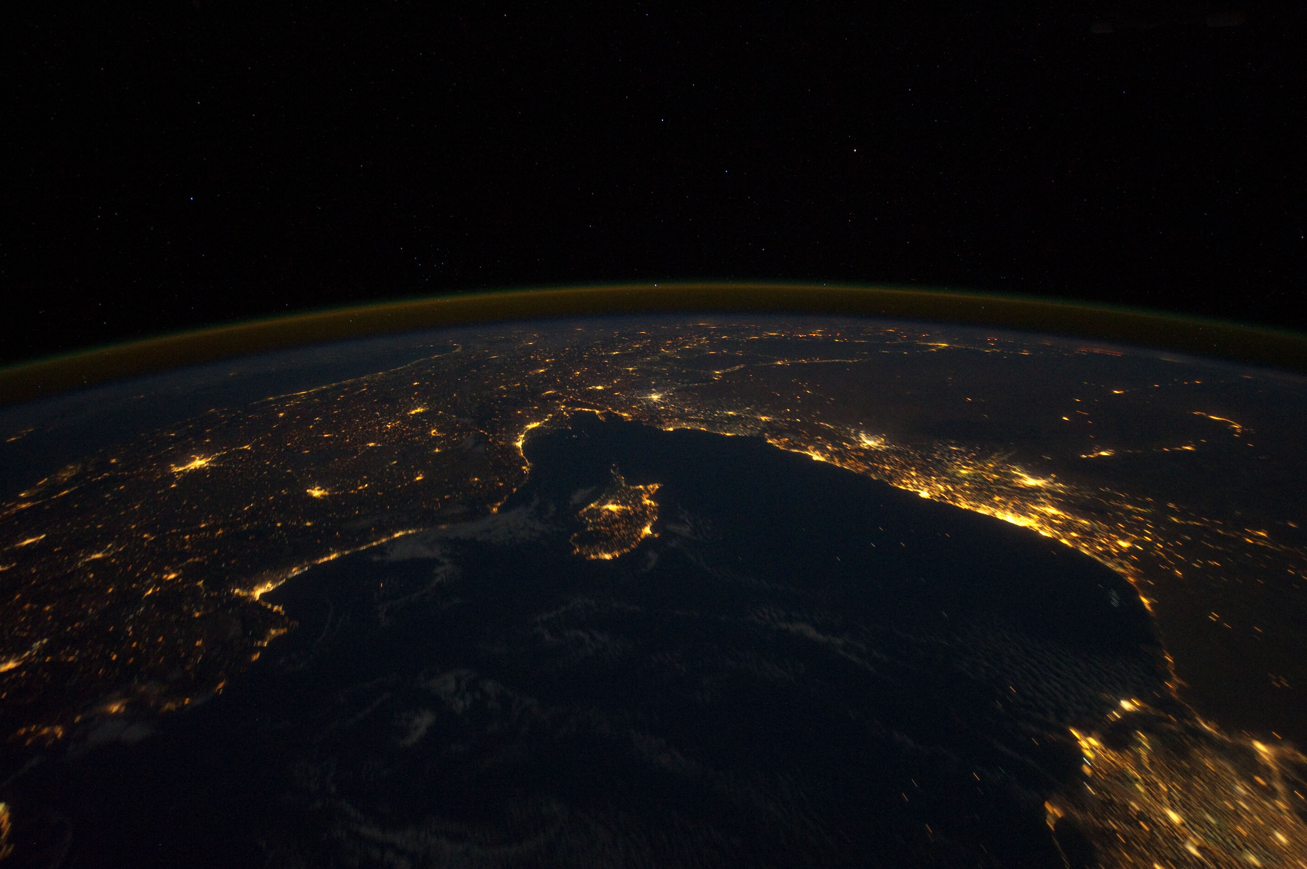
ISS030-E-8861

| NASA Photo ID | ISS030-E-8861 |
| Focal Length | 24mm |
| Date taken | 2011.12.03 |
| Time taken | 21:07:11 GMT |
Cloud masks available for this image:
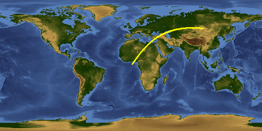
Spacecraft nadir point: 31.7° N, 26.8° E
Photo center point: 35.0° N, 36.0° E
Photo center point by machine learning:
Photo center point: 35.0° N, 36.0° E
Photo center point by machine learning:
Nadir to Photo Center: East
Spacecraft Altitude: 208 nautical miles (385km)
Country or Geographic Name: | SYRIA |
Features: | NILE DELTA, LEVANT, TURKEY, CITIES AT NIGHT |
| Features Found Using Machine Learning: | PAN- |
Cloud Cover Percentage: | 10 (1-10)% |
Sun Elevation Angle: | -75° |
Sun Azimuth: | 304° |
Camera: | Nikon D3S Electronic Still Camera |
Focal Length: | 24mm |
Camera Tilt: | High Oblique |
Format: | 4256E: 4256 x 2832 pixel CMOS sensor, 36.0mm x 23.9mm, total pixels: 12.87 million, Nikon FX format |
Film Exposure: | |
| Additional Information | |
This photo is one of the photos used to create this time-lapse video:
| Width | Height | Annotated | Cropped | Purpose | Links |
|---|---|---|---|---|---|
| 4256 pixels | 2832 pixels | No | No | Download Image | |
| 640 pixels | 426 pixels | No | No | Download Image |
Download Packaged File
Download a Google Earth KML for this Image
View photo footprint information
Download a GeoTIFF for this photo
Image Caption: none
