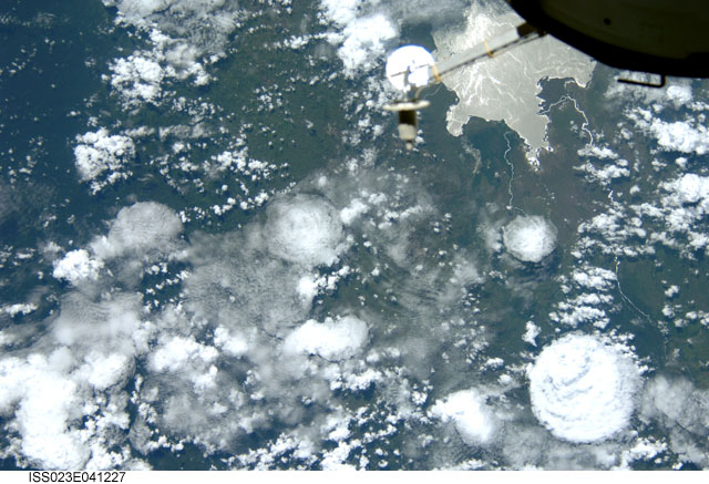
ISS023-E-41227
| NASA Photo ID | ISS023-E-41227 |
| Focal Length | 80mm |
| Date taken | 2010.05.14 |
| Time taken | 09:26:30 GMT |


Spacecraft nadir point: 2.0° S, 28.8° E
Photo center point: 1.0° N, 29.0° E
Photo center point by machine learning:
Photo center point: 1.0° N, 29.0° E
Photo center point by machine learning:
Nadir to Photo Center: North
Spacecraft Altitude: 185 nautical miles (343km)
Camera: | Nikon D2Xs Electronic Still Camera |
Focal Length: | 80mm |
Camera Tilt: | 44 degrees |
Format: | 4288E: 4288 x 2848 pixel CMOS sensor, RGBG imager color filter |
Film Exposure: | |
| Additional Information | |
| Width | Height | Annotated | Cropped | Purpose | Links |
|---|---|---|---|---|---|
| 4288 pixels | 2929 pixels | No | No | Download Image | |
| 640 pixels | 437 pixels | No | No | Download Image |
Download Packaged File
Download a Google Earth KML for this Image
View photo footprint information
Download a GeoTIFF for this photo
Image Caption: none
