ISS020-E-6721
| NASA Photo ID | ISS020-E-6721 |
| Focal Length | 800mm |
| Date taken | 2009.06.05 |
| Time taken | 05:53:53 GMT |

Cloud masks available for this image:
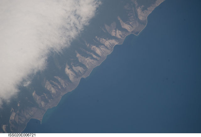
Spacecraft nadir point: 51.7° N, 110.4° E
Photo center point: 53.4° N, 107.4° E
Photo center point by machine learning:
Photo center point: 53.4° N, 107.4° E
Photo center point by machine learning:
Nadir to Photo Center: Northwest
Spacecraft Altitude: 181 nautical miles (335km)
Country or Geographic Name: | RUSSIAN FEDERATION |
Features: | ZAMA AREA, LAKE BAIKAL, SHORE |
| Features Found Using Machine Learning: | |
Cloud Cover Percentage: | 50 (26-50)% |
Sun Elevation Angle: | 57° |
Sun Azimuth: | 214° |
Camera: | Nikon D3 Electronic Still Camera |
Focal Length: | 800mm |
Camera Tilt: | 49 degrees |
Format: | 4256E: 4256 x 2832 pixel CMOS sensor, 36.0mm x 23.9mm, total pixels: 12.87 million, Nikon FX format |
Film Exposure: | |
| Additional Information | |
| Width | Height | Annotated | Cropped | Purpose | Links |
|---|---|---|---|---|---|
| 4256 pixels | 2913 pixels | No | No | Download Image | |
| 640 pixels | 438 pixels | No | No | Download Image |
Download Packaged File
Download a Google Earth KML for this Image
View photo footprint information
Download a GeoTIFF for this photo
Image Caption: none
