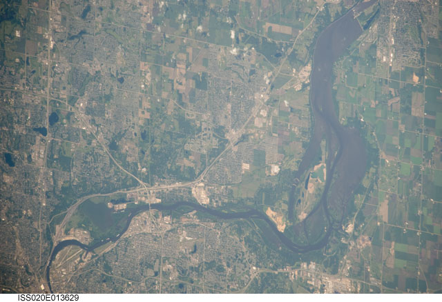
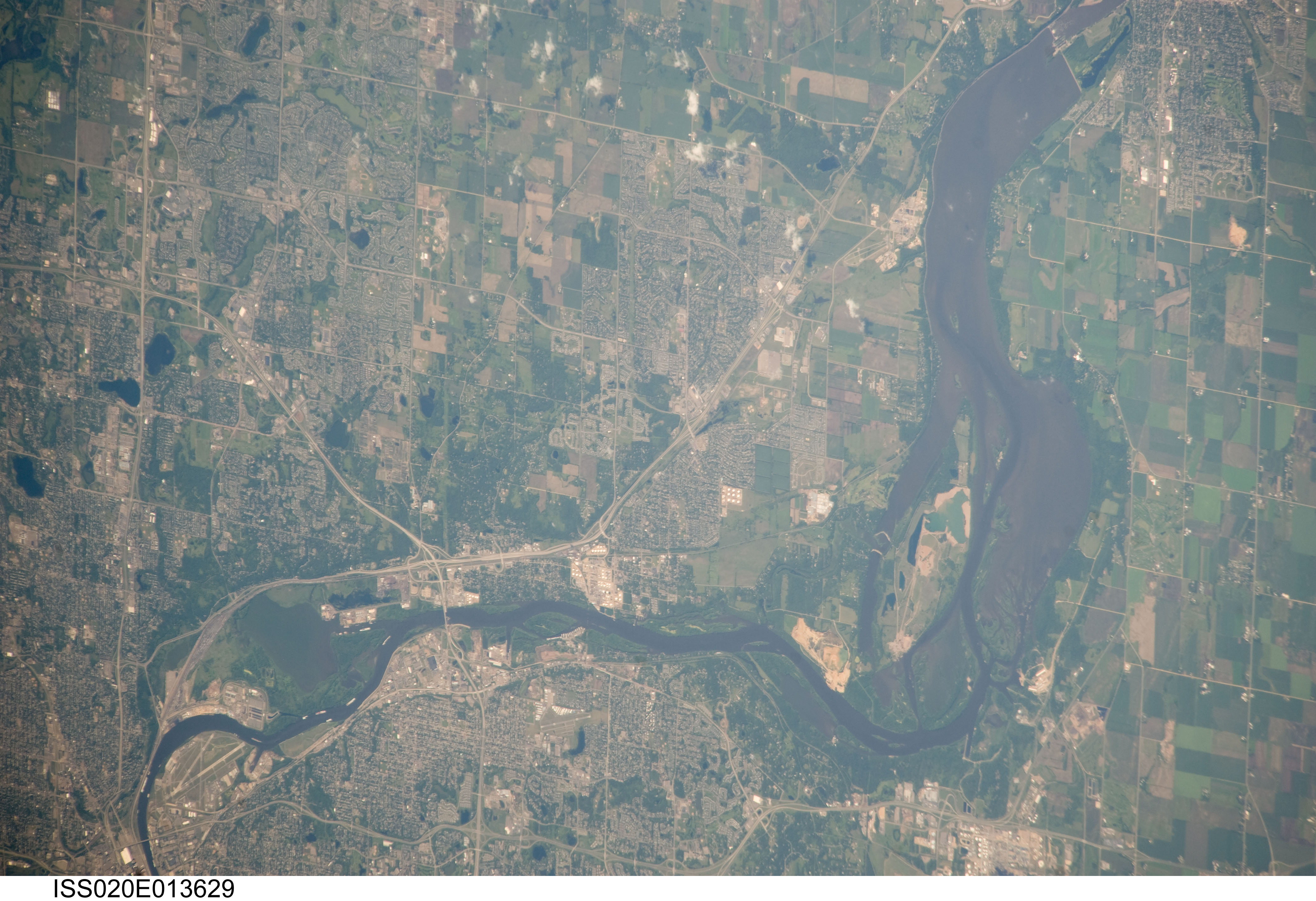
ISS020-E-13629
| NASA Photo ID | ISS020-E-13629 |
| Focal Length | 800mm |
| Date taken | 2009.06.22 |
| Time taken | 15:38:44 GMT |
Cloud masks available for this image:
Spacecraft nadir point: 41.5° N, 90.9° W
Photo center point: 44.8° N, 93.0° W
Photo center point by machine learning:
Photo center point: 44.8° N, 93.0° W
Photo center point by machine learning:
Nadir to Photo Center: Northwest
Spacecraft Altitude: 182 nautical miles (337km)
Country or Geographic Name: | USA-MINNESOTA |
Features: | PUBLIC INPUTS (from public image detectives, not NASA): MINNESOTA, MISSISSIPPI RIVER, PIGS EYE LAKE, SOUTH ST PAUL, MOOERS LAKE, SPRING LAKE, COTTAGE GROVE, COTTAGE GROVE RAVINE REGIONAL PARK, INVER GROVE HEIGHTS, LOWER GREY CLOUD ISLAND, LOCK & DAM NO. 2,ST PAUL, MINNEAPOLIS, MINNESOTA, MISSISSIPPI RIVER, BRIDGES, SPRING LAKE,ST PAUL MN, SOUTH ST PAUL MN, COTTAGE GROVE MN, MISSISSIPPI RIVER, MOOERS LAKE, SPRING LAKE, ST. PAUL DOWNTOWN AIRPORT (KSTP) |
| Features Found Using Machine Learning: | |
Cloud Cover Percentage: | 10 (1-10)% |
Sun Elevation Angle: | 55° |
Sun Azimuth: | 109° |
Camera: | Nikon D3 Electronic Still Camera |
Focal Length: | 800mm |
Camera Tilt: | 52 degrees |
Format: | 4256E: 4256 x 2832 pixel CMOS sensor, 36.0mm x 23.9mm, total pixels: 12.87 million, Nikon FX format |
Film Exposure: | |
| Additional Information | |
| Width | Height | Annotated | Cropped | Purpose | Links |
|---|---|---|---|---|---|
| 4256 pixels | 2913 pixels | No | No | Download Image | |
| 640 pixels | 438 pixels | No | No | Download Image |
Download Packaged File
Download a Google Earth KML for this Image
View photo footprint information
Download a GeoTIFF for this photo
Image Caption: none
