ISS017-E-7259

| NASA Photo ID | ISS017-E-7259 |
| Focal Length | 400mm |
| Date taken | 2008.05.16 |
| Time taken | 13:11:46 GMT |
Cloud masks available for this image:
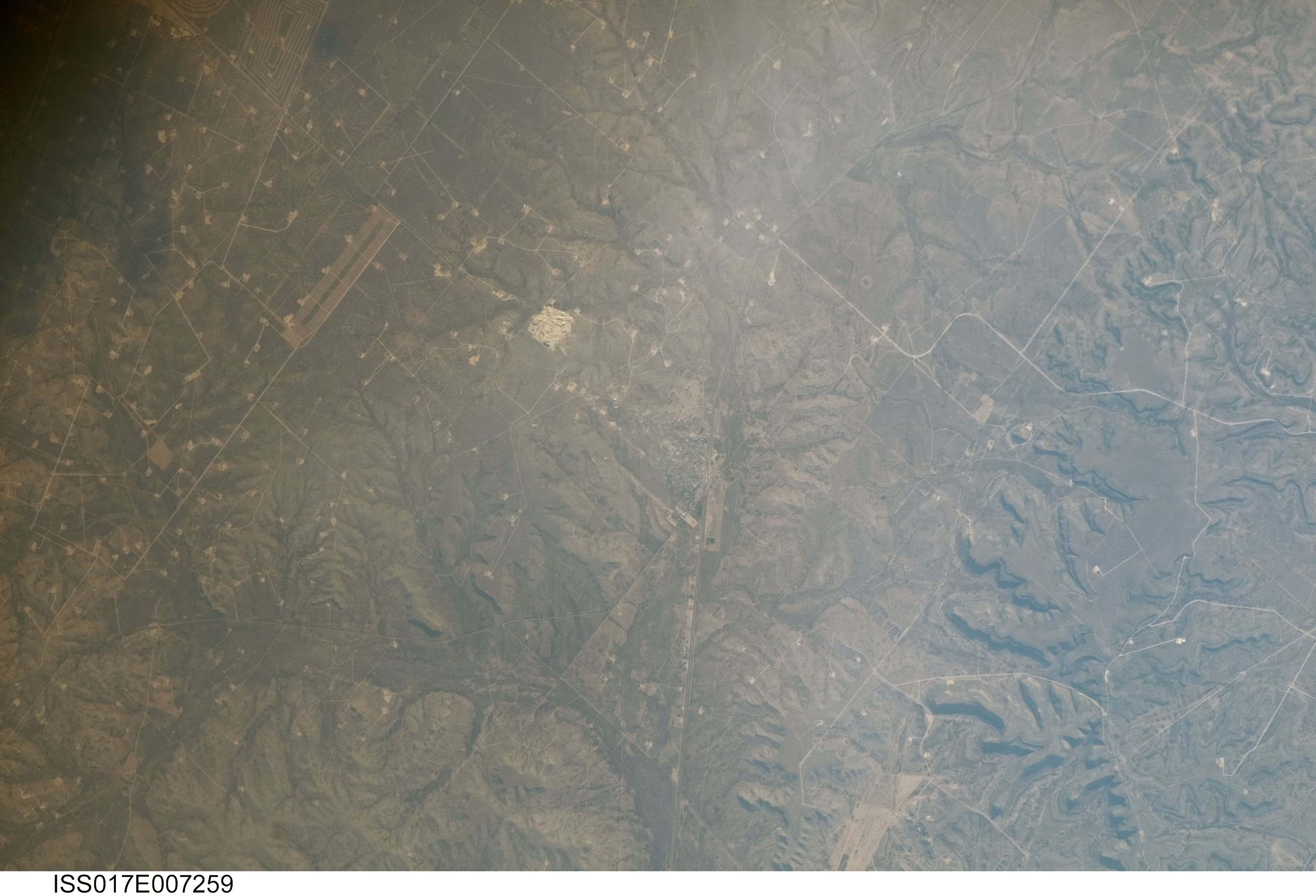
Spacecraft nadir point: 30.7° N, 101.0° W
Photo center point: 31.2° N, 101.9° W
Photo center point by machine learning:
Photo center point: 31.2° N, 101.9° W
Photo center point by machine learning:
Nadir to Photo Center: Northwest
Spacecraft Altitude: 181 nautical miles (335km)
Camera: | Kodak DCS760c Electronic Still Camera |
Focal Length: | 400mm |
Camera Tilt: | 19 degrees |
Format: | 3060E: 3060 x 2036 pixel CCD, RGBG array |
Film Exposure: | |
| Additional Information | |
| Width | Height | Annotated | Cropped | Purpose | Links |
|---|---|---|---|---|---|
| 3032 pixels | 2065 pixels | No | No | Download Image | |
| 640 pixels | 436 pixels | No | No | Download Image |
Download Packaged File
Download a Google Earth KML for this Image
View photo footprint information
Download a GeoTIFF for this photo
Image Caption: none
