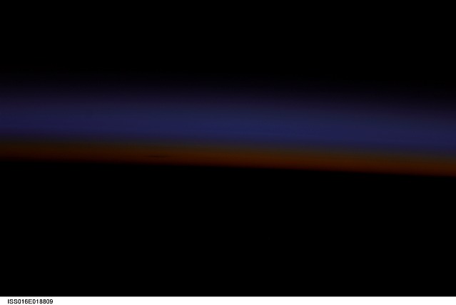
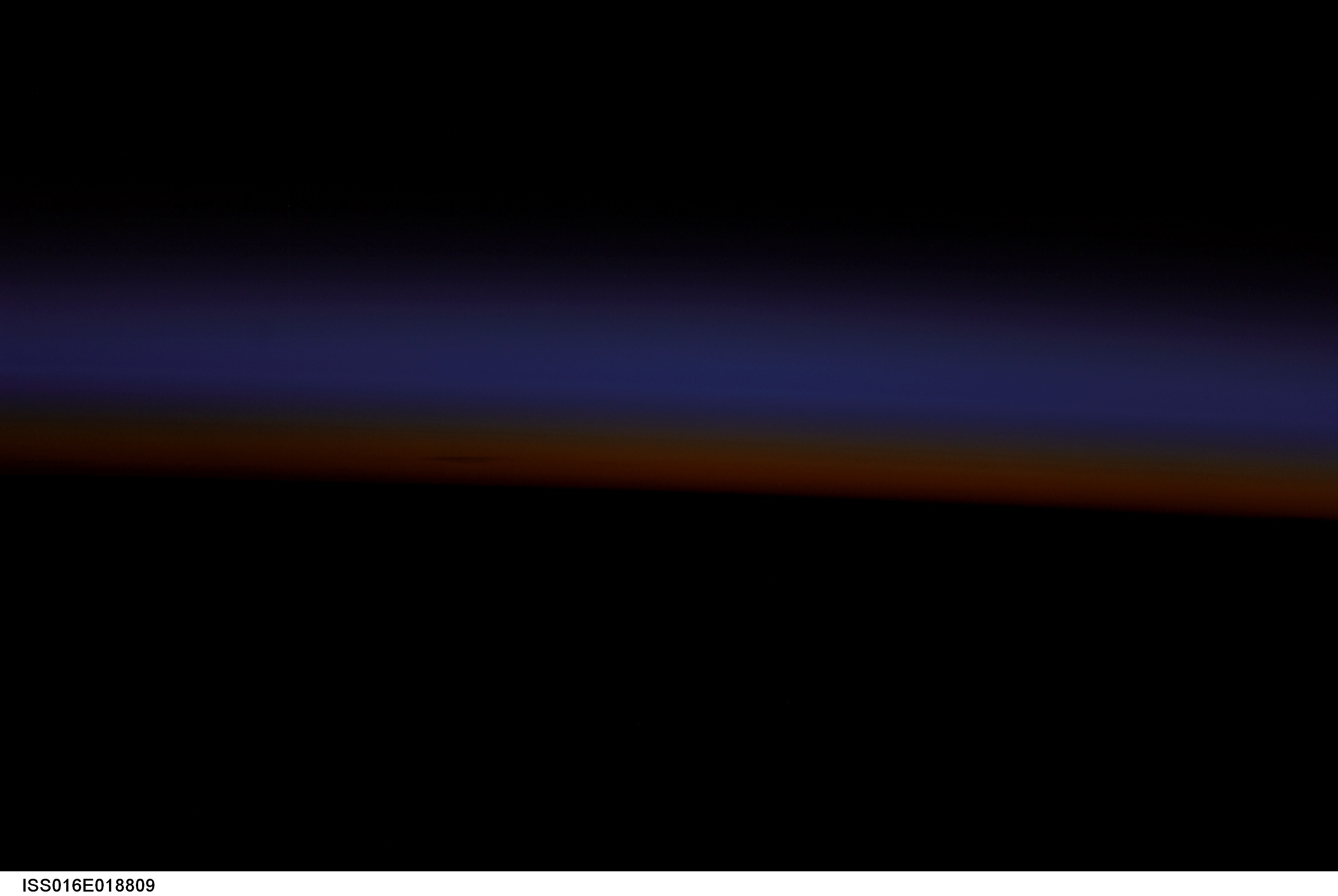
ISS016-E-18809
| NASA Photo ID | ISS016-E-18809 |
| Focal Length | 180mm |
| Date taken | 2007.12.23 |
| Time taken | 17:03:59 GMT |
Cloud masks available for this image:
Spacecraft nadir point: 25.2° S, 60.5° E
Photo center point:
Photo center point by machine learning:
Photo center point:
Photo center point by machine learning:
Nadir to Photo Center:
Spacecraft Altitude: 183 nautical miles (339km)
Country or Geographic Name: | INDIAN OCEAN |
Features: | PAN-ATMOSPHERIC LIMB, LAYERS, DUSK |
| Features Found Using Machine Learning: | PAN- |
Cloud Cover Percentage: | 0 (no clouds present) |
Sun Elevation Angle: | -26° |
Sun Azimuth: | 224° |
Camera: | Nikon D1 Electronic Still Camera |
Focal Length: | 180mm |
Camera Tilt: | High Oblique |
Format: | 2000E: 2000 x 1312 pixel CCD, RGBG imager color filter |
Film Exposure: | |
| Additional Information | |
| Width | Height | Annotated | Cropped | Purpose | Links |
|---|---|---|---|---|---|
| 3032 pixels | 2032 pixels | No | No | Download Image | |
| 639 pixels | 428 pixels | No | No | Download Image |
Download Packaged File
Download a Google Earth KML for this Image
View photo footprint information
Download a GeoTIFF for this photo
Image Caption: none
