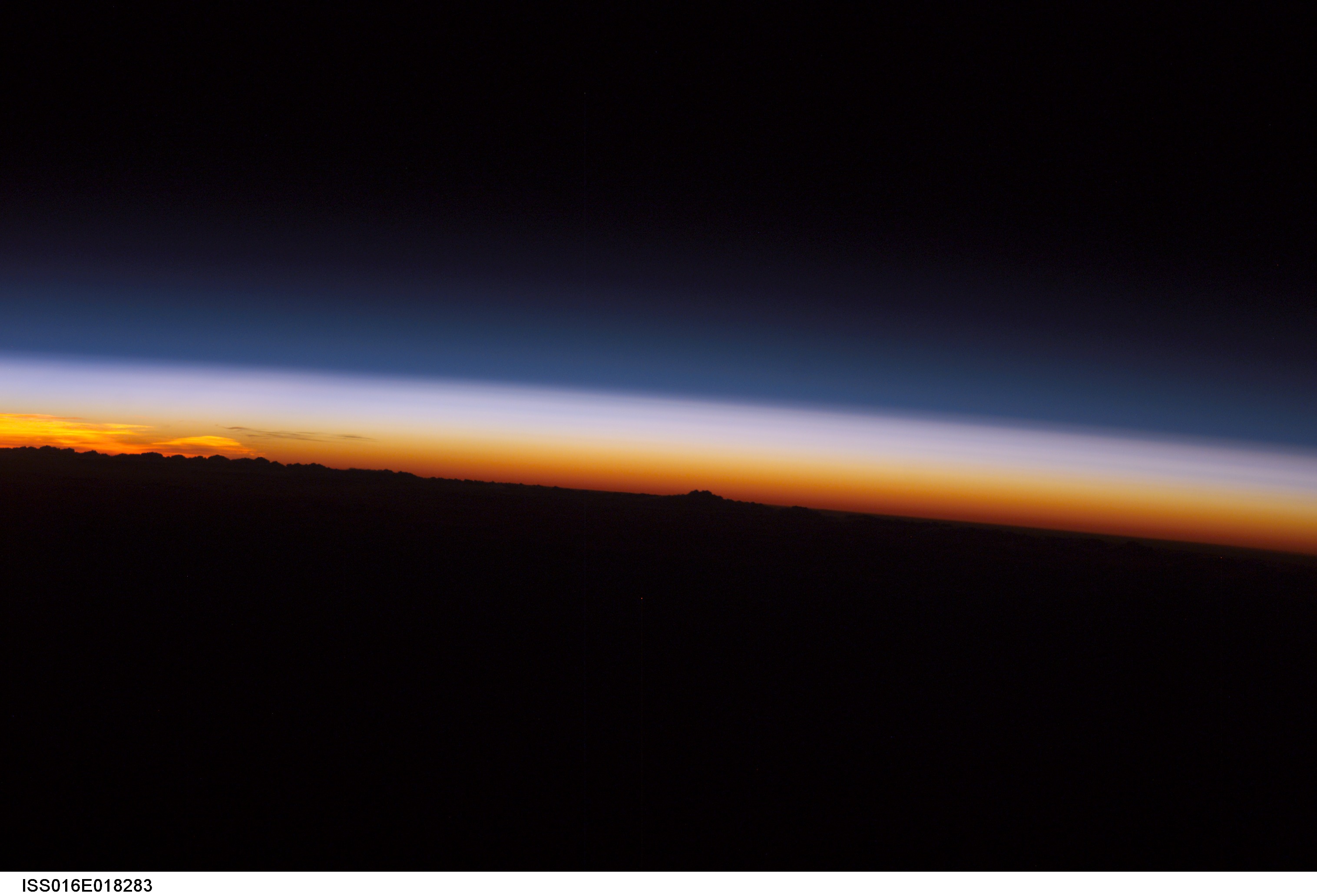
ISS016-E-18283
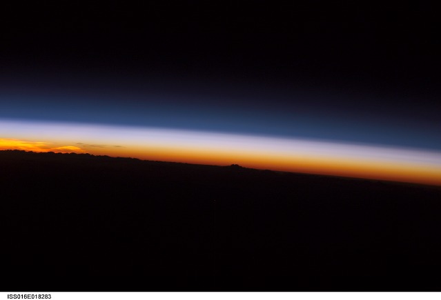
| NASA Photo ID | ISS016-E-18283 |
| Focal Length | 180mm |
| Date taken | 2007.12.21 |
| Time taken | 14:36:05 GMT |
Cloud masks available for this image:
Spacecraft nadir point: 30.3° N, 61.3° E
Photo center point:
Photo center point by machine learning:
Photo center point:
Photo center point by machine learning:
Nadir to Photo Center:
Spacecraft Altitude: 180 nautical miles (333km)
Country or Geographic Name: | ASIA |
Features: | ATMOSPHERIC LIMB, DUSK |
| Features Found Using Machine Learning: | PAN- |
Cloud Cover Percentage: | 10 (1-10)% |
Sun Elevation Angle: | -20° |
Sun Azimuth: | 254° |
Camera: | Kodak DCS760c Electronic Still Camera |
Focal Length: | 180mm |
Camera Tilt: | High Oblique |
Format: | 3060E: 3060 x 2036 pixel CCD, RGBG array |
Film Exposure: | |
| Additional Information | |
| Width | Height | Annotated | Cropped | Purpose | Links |
|---|---|---|---|---|---|
| 3032 pixels | 2064 pixels | No | No | Download Image | |
| 639 pixels | 435 pixels | No | No | Download Image |
Download Packaged File
Download a Google Earth KML for this Image
View photo footprint information
Download a GeoTIFF for this photo
Image Caption: none
