ISS015-E-20710

| NASA Photo ID | ISS015-E-20710 |
| Focal Length | 180mm |
| Date taken | 2007.08.03 |
| Time taken | 12:26:57 GMT |
Cloud masks available for this image:
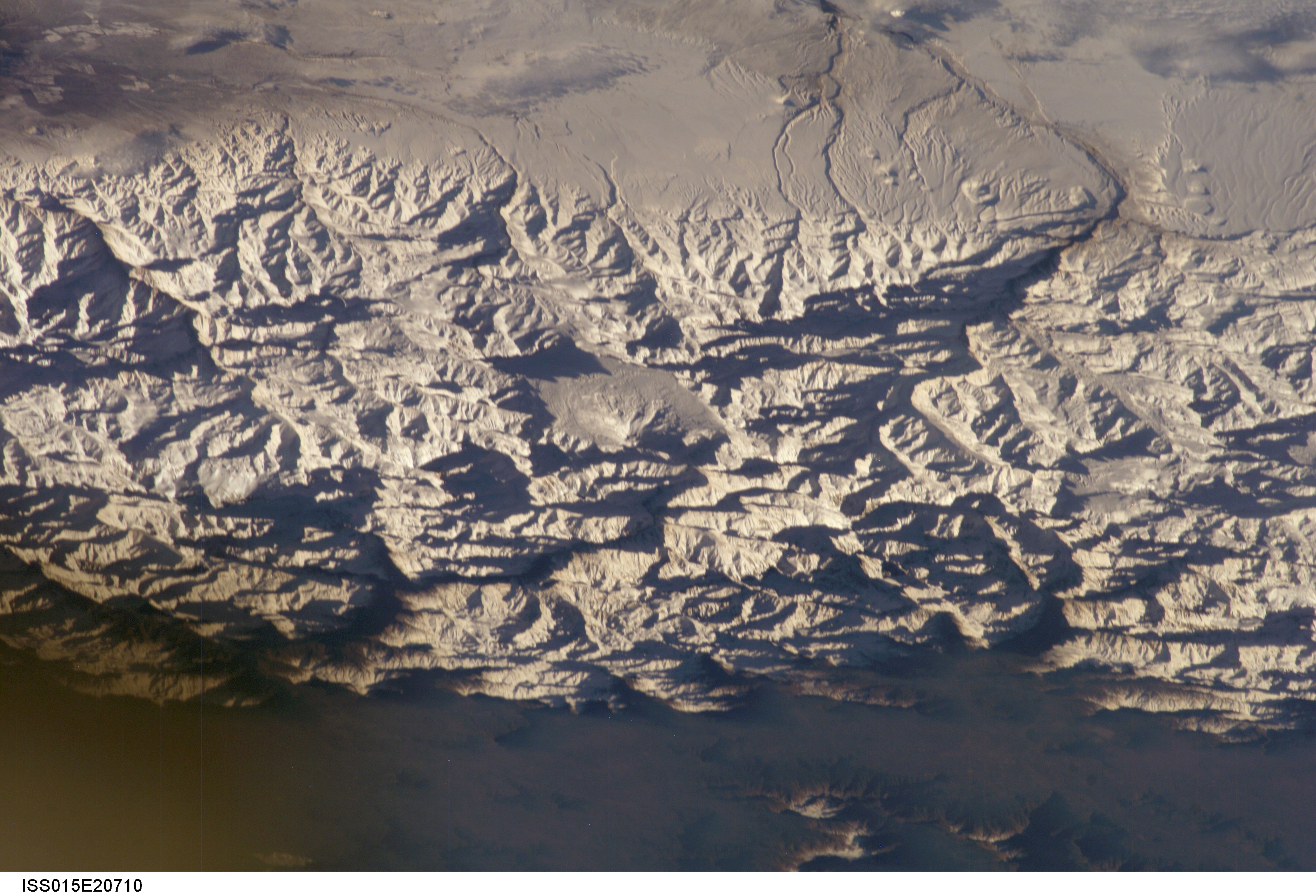
Spacecraft nadir point: 37.0° S, 62.6° W
Photo center point: 34.0° S, 70.0° W
Photo center point by machine learning:
Photo center point: 34.0° S, 70.0° W
Photo center point by machine learning:
Nadir to Photo Center: West
Spacecraft Altitude: 184 nautical miles (341km)
Country or Geographic Name: | CHILE |
Features: | ANDES MTS., MAIPO VOL., SNOW |
| Features Found Using Machine Learning: | |
Cloud Cover Percentage: | 10 (1-10)% |
Sun Elevation Angle: | 13° |
Sun Azimuth: | 56° |
Camera: | Kodak DCS760c Electronic Still Camera |
Focal Length: | 180mm |
Camera Tilt: | High Oblique |
Format: | 3060E: 3060 x 2036 pixel CCD, RGBG array |
Film Exposure: | |
| Additional Information | |
| Width | Height | Annotated | Cropped | Purpose | Links |
|---|---|---|---|---|---|
| 3032 pixels | 2064 pixels | No | No | Download Image | |
| 639 pixels | 435 pixels | No | No | Download Image |
Download Packaged File
Download a Google Earth KML for this Image
View photo footprint information
Download a GeoTIFF for this photo
Image Caption: none
