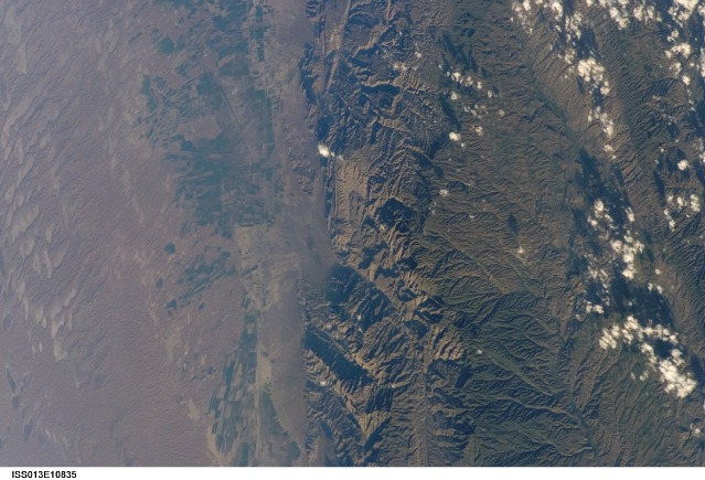
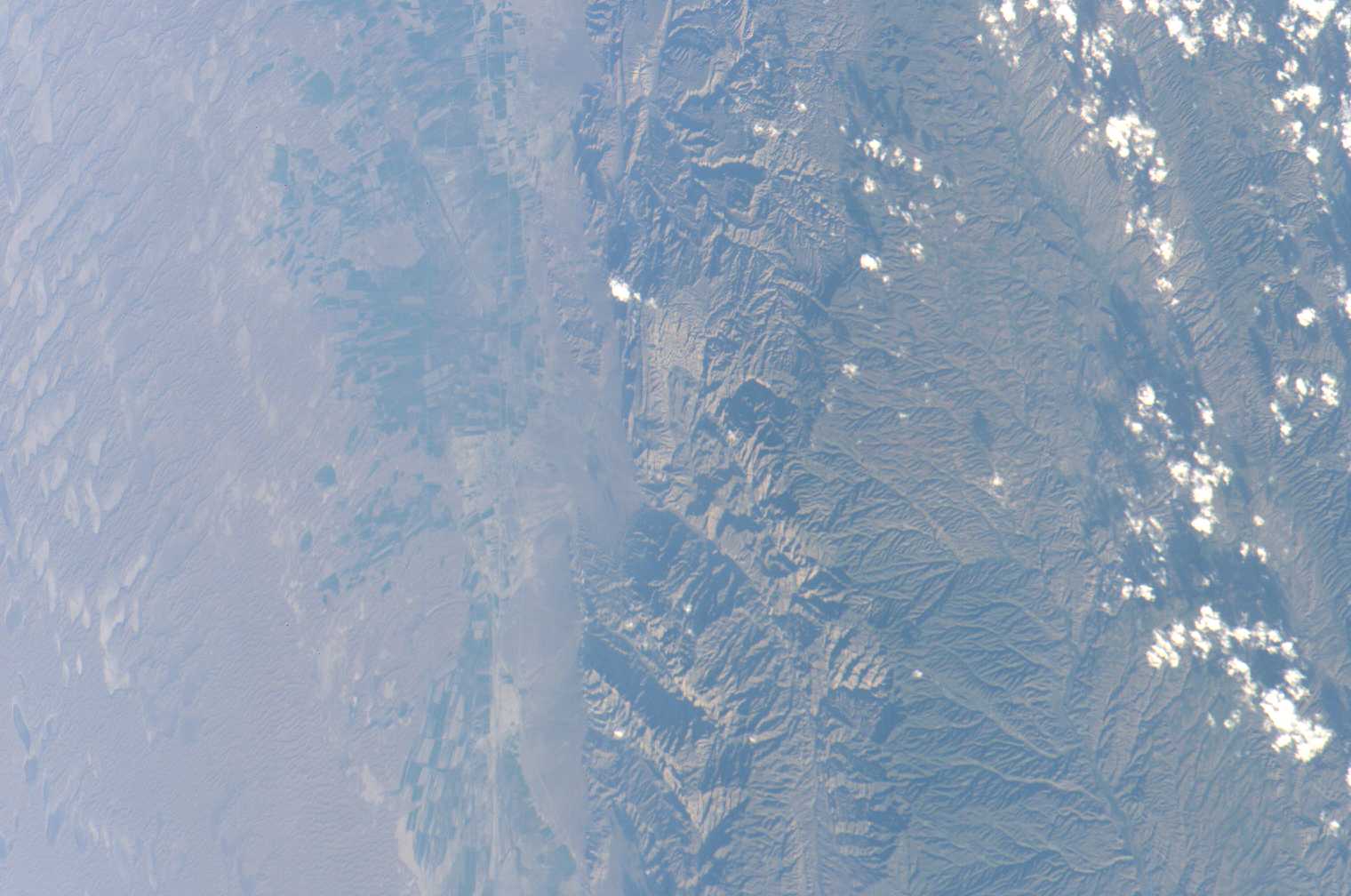
ISS013-E-10835
| NASA Photo ID | ISS013-E-10835 |
| Focal Length | 180mm |
| Date taken | 2006.04.28 |
| Time taken | 13:47:14 GMT |
Cloud masks available for this image:
Spacecraft nadir point: 36.1° N, 54.7° E
Photo center point: 38.5° N, 57.5° E
Photo center point by machine learning:
Photo center point: 38.5° N, 57.5° E
Photo center point by machine learning:
Nadir to Photo Center: Northeast
Spacecraft Altitude: 183 nautical miles (339km)
Country or Geographic Name: | TURKMENISTAN |
Features: | KOPET DAGH MTS. AGR., BAKHARDEN |
| Features Found Using Machine Learning: | |
Cloud Cover Percentage: | 10 (1-10)% |
Sun Elevation Angle: | 15° |
Sun Azimuth: | 277° |
Camera: | Kodak DCS760c Electronic Still Camera |
Focal Length: | 180mm |
Camera Tilt: | 50 degrees |
Format: | 3060E: 3060 x 2036 pixel CCD, RGBG array |
Film Exposure: | |
| Additional Information | |
| Width | Height | Annotated | Cropped | Purpose | Links |
|---|---|---|---|---|---|
| 1520 pixels | 1008 pixels | No | No | Not enhanced | Download Image |
| 639 pixels | 435 pixels | No | No | Download Image |
Download Packaged File
Download a Google Earth KML for this Image
View photo footprint information
Download a GeoTIFF for this photo
Image Caption: none
