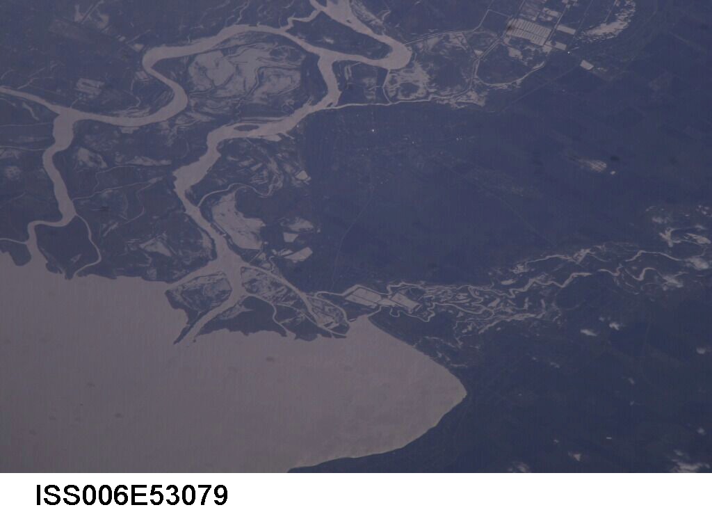
ISS006-E-53079

| NASA Photo ID | ISS006-E-53079 |
| Focal Length | 800mm |
| Date taken | 2003.04.09 |
| Time taken | 12:23:07 GMT |
Cloud masks available for this image:
Spacecraft nadir point: 49.6° N, 49.8° E
Photo center point: 47.1° N, 39.3° E
Photo center point by machine learning:
Photo center point: 47.1° N, 39.3° E
Photo center point by machine learning:
Nadir to Photo Center: West
Spacecraft Altitude: 206 nautical miles (382km)
Country or Geographic Name: | RUSSIAN FEDERATION |
Features: | DON RIVER MOUTH |
| Features Found Using Machine Learning: | |
Cloud Cover Percentage: | 25 (11-25)% |
Sun Elevation Angle: | 28° |
Sun Azimuth: | 247° |
Camera: | Nikon D1 Electronic Still Camera |
Focal Length: | 800mm |
Camera Tilt: | High Oblique |
Format: | 2000E: 2000 x 1312 pixel CCD, RGBG imager color filter |
Film Exposure: | |
| Additional Information | |
| Width | Height | Annotated | Cropped | Purpose | Links |
|---|---|---|---|---|---|
| 1024 pixels | 736 pixels | No | No | Download Image | |
| 1024 pixels | 680 pixels | No | No | Original file from camera | Download Image |
| 640 pixels | 460 pixels | No | No | Download Image |
Download Packaged File
Download a Google Earth KML for this Image
View photo footprint information
Download a GeoTIFF for this photo
Image Caption: none
