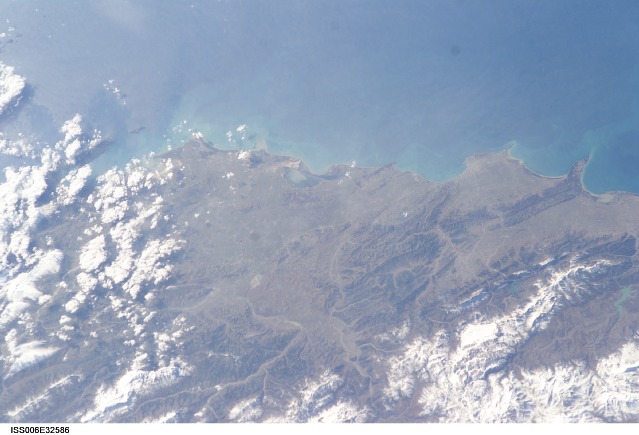
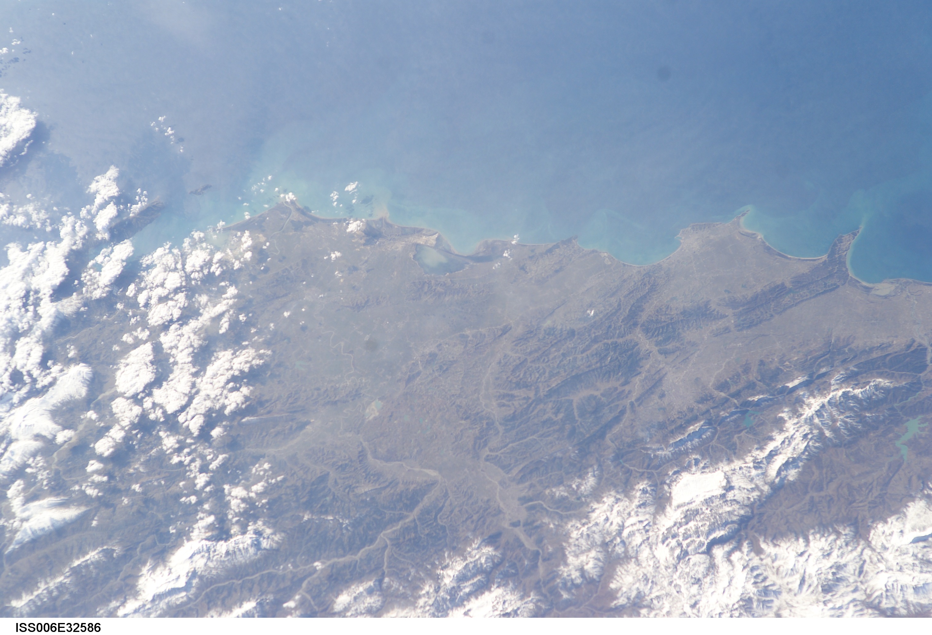
ISS006-E-32586
| NASA Photo ID | ISS006-E-32586 |
| Focal Length | 85mm |
| Date taken | 2003.02.23 |
| Time taken | 12:39:09 GMT |
Cloud masks available for this image:
Spacecraft nadir point: 43.6° N, 19.7° E
Photo center point: 41.0° N, 19.5° E
Photo center point by machine learning:
Photo center point: 41.0° N, 19.5° E
Photo center point by machine learning:
Nadir to Photo Center: South
Spacecraft Altitude: 210 nautical miles (389km)
Country or Geographic Name: | ALBANIA |
Features: | ADRIATIC SEA, DURRES, DIV JAKE |
| Features Found Using Machine Learning: | |
Cloud Cover Percentage: | 25 (11-25)% |
Sun Elevation Angle: | 32° |
Sun Azimuth: | 211° |
Camera: | Kodak DCS760c Electronic Still Camera |
Focal Length: | 85mm |
Camera Tilt: | 37 degrees |
Format: | 3060E: 3060 x 2036 pixel CCD, RGBG array |
Film Exposure: | |
| Additional Information | |
| Width | Height | Annotated | Cropped | Purpose | Links |
|---|---|---|---|---|---|
| 3032 pixels | 2064 pixels | No | No | Download Image | |
| 639 pixels | 435 pixels | No | No | Download Image |
Download Packaged File
Download a Google Earth KML for this Image
View photo footprint information
Download a GeoTIFF for this photo
Image Caption: none
