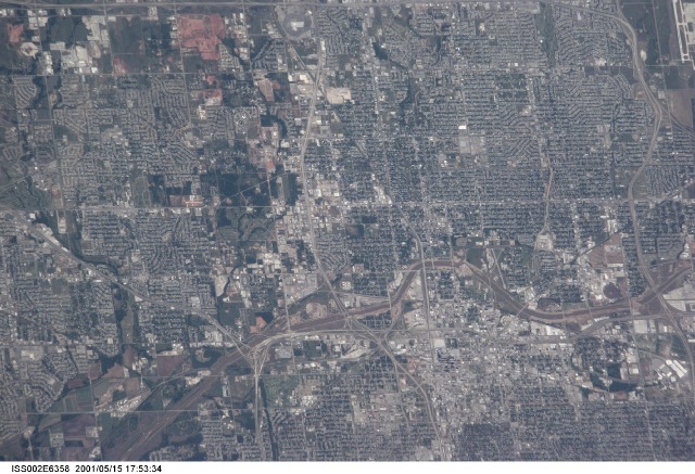
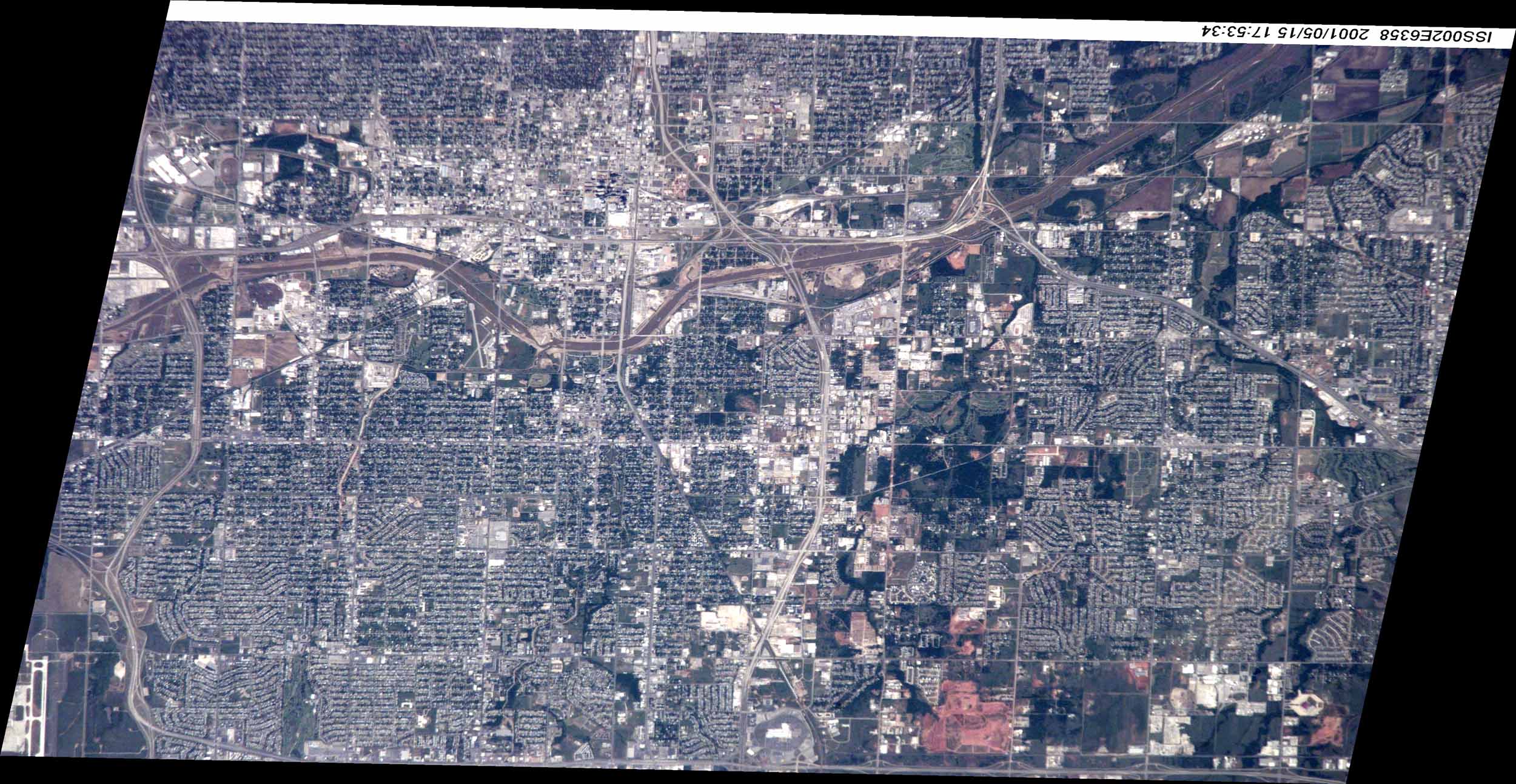
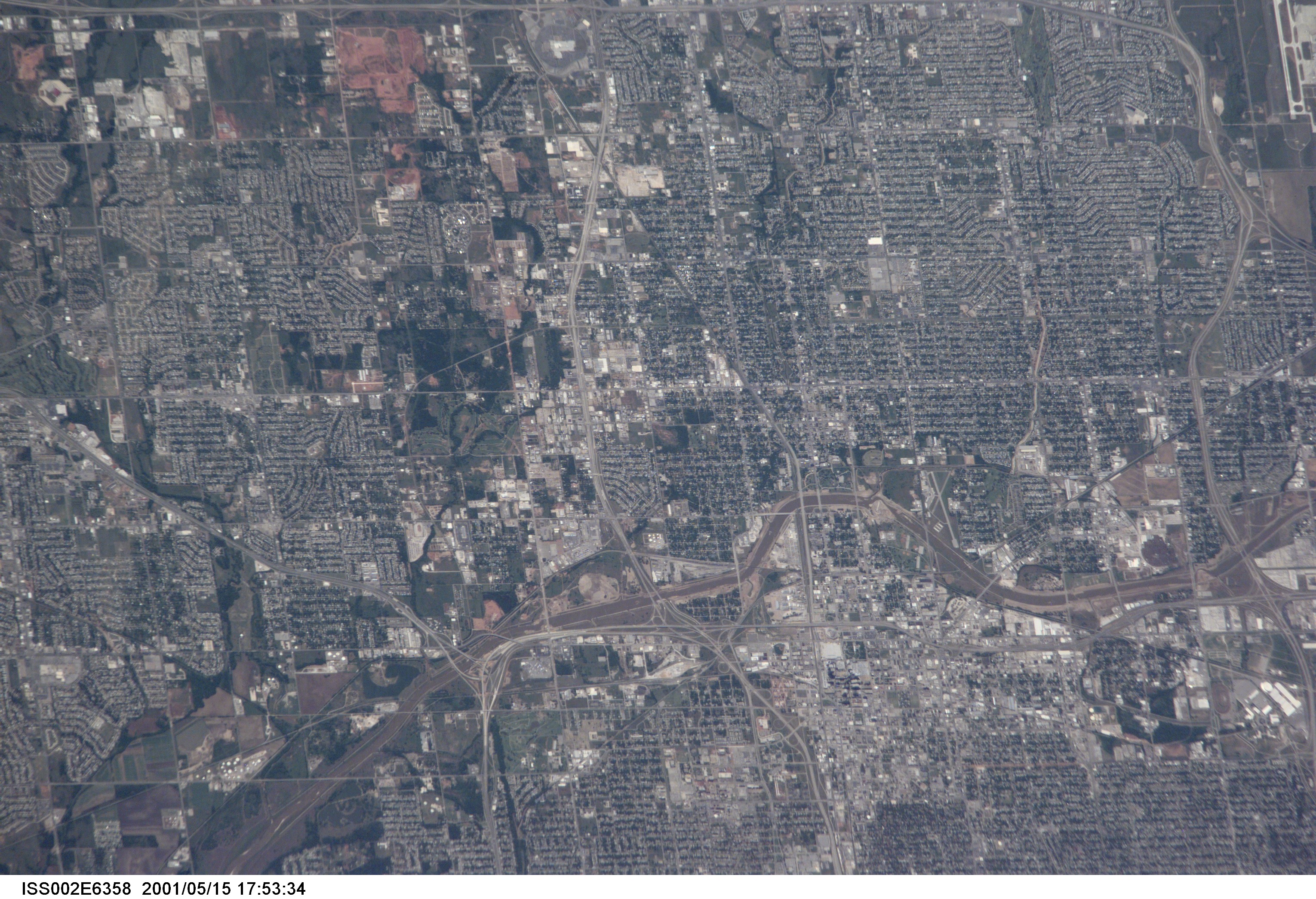
ISS002-E-6358
| NASA Photo ID | ISS002-E-6358 |
| Focal Length | 800mm |
| Date taken | 2001.05.15 |
| Time taken | 17:15:34 GMT |
Cloud masks available for this image:
Spacecraft nadir point: 36.3° N, 95.4° W
Photo center point: 35.5° N, 97.5° W
Photo center point by machine learning:
Photo center point: 35.5° N, 97.5° W
Photo center point by machine learning:
Nadir to Photo Center: West
Spacecraft Altitude: 206 nautical miles (382km)
Country or Geographic Name: | USA-OKLAHOMA |
Features: | OKLAHOMA CITY, DOWNTOWN |
| Features Found Using Machine Learning: | |
Cloud Cover Percentage: | 10 (1-10)% |
Sun Elevation Angle: | 68° |
Sun Azimuth: | 137° |
Camera: | Kodak DCS460 Electronic Still Camera |
Focal Length: | 800mm |
Camera Tilt: | 33 degrees |
Format: | 3060E: 3060 x 2036 pixel CCD, RGBG array |
Film Exposure: | |
| Additional Information | |
| Width | Height | Annotated | Cropped | Purpose | Links |
|---|---|---|---|---|---|
| 2500 pixels | 1293 pixels | Cities collection | Download Image | ||
| 3060 pixels | 2092 pixels | No | No | Download Image | |
| 640 pixels | 437 pixels | No | No | Download Image |
Download Packaged File
Download a Google Earth KML for this Image
View photo footprint information
Download a GeoTIFF for this photo
Image Caption: none
