ISS002-E-5656
| NASA Photo ID | ISS002-E-5656 |
| Focal Length | 800mm |
| Date taken | 2001.04.16 |
| Time taken | 22:29:30 GMT |
Cloud masks available for this image:
Spacecraft nadir point: 31.3° N, 116.5° W
Photo center point: 33.0° N, 117.0° W
Photo center point by machine learning:
Photo center point: 33.0° N, 117.0° W
Photo center point by machine learning:
Nadir to Photo Center: North
Spacecraft Altitude: 208 nautical miles (385km)
Country or Geographic Name: | USA-CALIFORNIA |
Features: | SAN DIEGO |
| Features Found Using Machine Learning: | |
Cloud Cover Percentage: | 10 (1-10)% |
Sun Elevation Angle: | 47° |
Sun Azimuth: | 250° |
Camera: | Kodak DCS460 Electronic Still Camera |
Focal Length: | 800mm |
Camera Tilt: | 27 degrees |
Format: | 3060E: 3060 x 2036 pixel CCD, RGBG array |
Film Exposure: | |
| Additional Information | |
| Width | Height | Annotated | Cropped | Purpose | Links |
|---|---|---|---|---|---|
| 3060 pixels | 2092 pixels | No | No | Download Image | |
| 640 pixels | 437 pixels | No | No | Download Image |
Download Packaged File
Download a Google Earth KML for this Image
View photo footprint information
Download a GeoTIFF for this photo
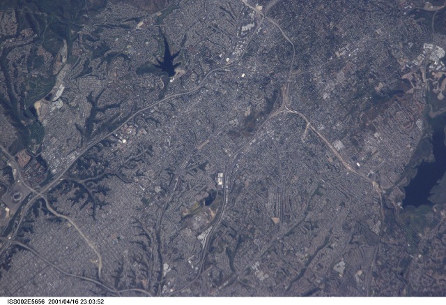
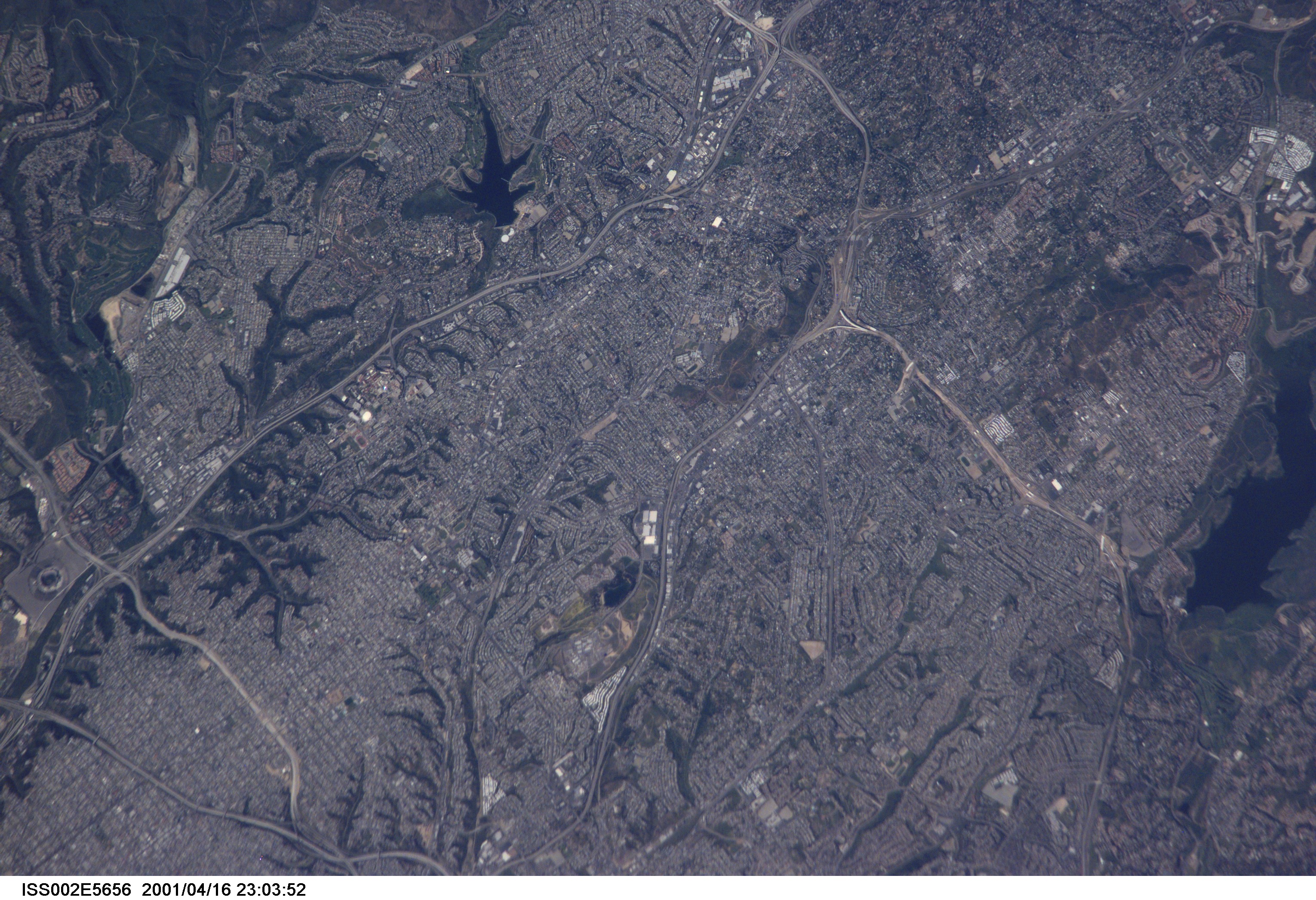
Image Caption: ISS002-E-5656 (16 April 2001) --- Extreme southern topography of California, including inland portions of the San Diego area were captured in this digital still camera's image from the International Space Station's Expedition Two crew members. The previous frame (5655) and this one were both recorded with an 800mm lens, whereas the succeeding frame (5657) was shot with a 105mm lens.
