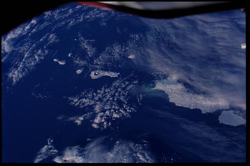
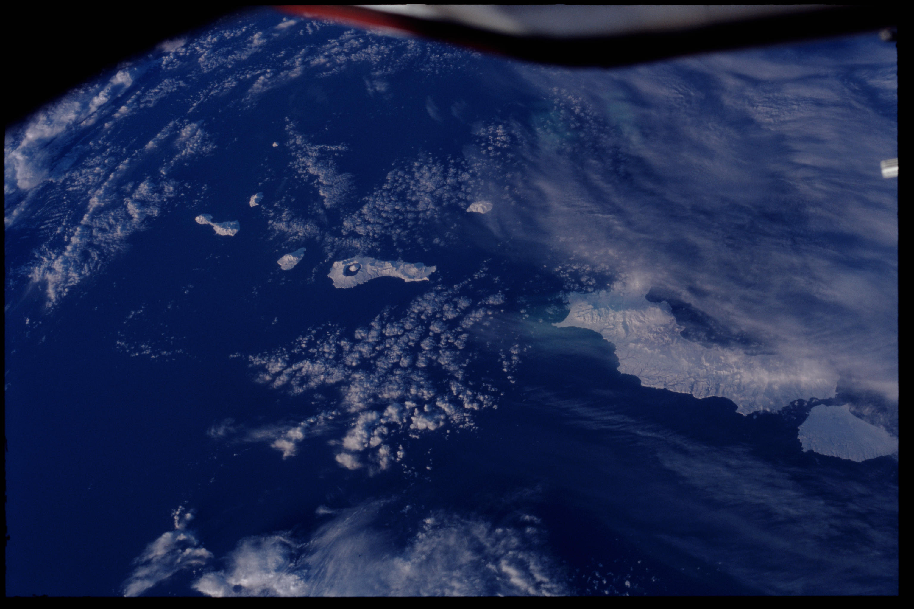
ISS001-348-34
| NASA Photo ID | ISS001-348-34 |
| Focal Length | 400mm |
| Date taken | 2001.01.13 |
| Time taken | 22:46:17 GMT |
Cloud masks available for this image:
Spacecraft nadir point: 50.4° N, 161.5° E
Photo center point: 49.5° N, 155.0° E
Photo center point by machine learning:
Photo center point: 49.5° N, 155.0° E
Photo center point by machine learning:
Nadir to Photo Center: West
Spacecraft Altitude: 194 nautical miles (359km)
Country or Geographic Name: | RUSSIAN FEDERATION |
Features: | KURIL ISLANDS |
| Features Found Using Machine Learning: | |
Cloud Cover Percentage: | 50 (26-50)% |
Sun Elevation Angle: | 11° |
Sun Azimuth: | 144° |
Camera: | Nikon 35mm film camera |
Focal Length: | 400mm |
Camera Tilt: | High Oblique |
Format: | 5069: Kodak Elite 100S, E6 Reversal, Replaces Lumiere, Warmer in tone vs. Lumiere |
Film Exposure: | |
| Additional Information | |
| Width | Height | Annotated | Cropped | Purpose | Links |
|---|---|---|---|---|---|
| 3070 pixels | 2044 pixels | No | No | Download Image | |
| 515 pixels | 342 pixels | No | No | Download Image |
Download Packaged File
Download a Google Earth KML for this Image
View photo footprint information
Download a GeoTIFF for this photo
Image Caption: none
