AST-13-797

| NASA Photo ID | AST-13-797 |
| Focal Length | 50mm |
| Date taken | 1975.07.__ |
| Time taken | GMT |
Cloud masks available for this image:
Spacecraft nadir point:
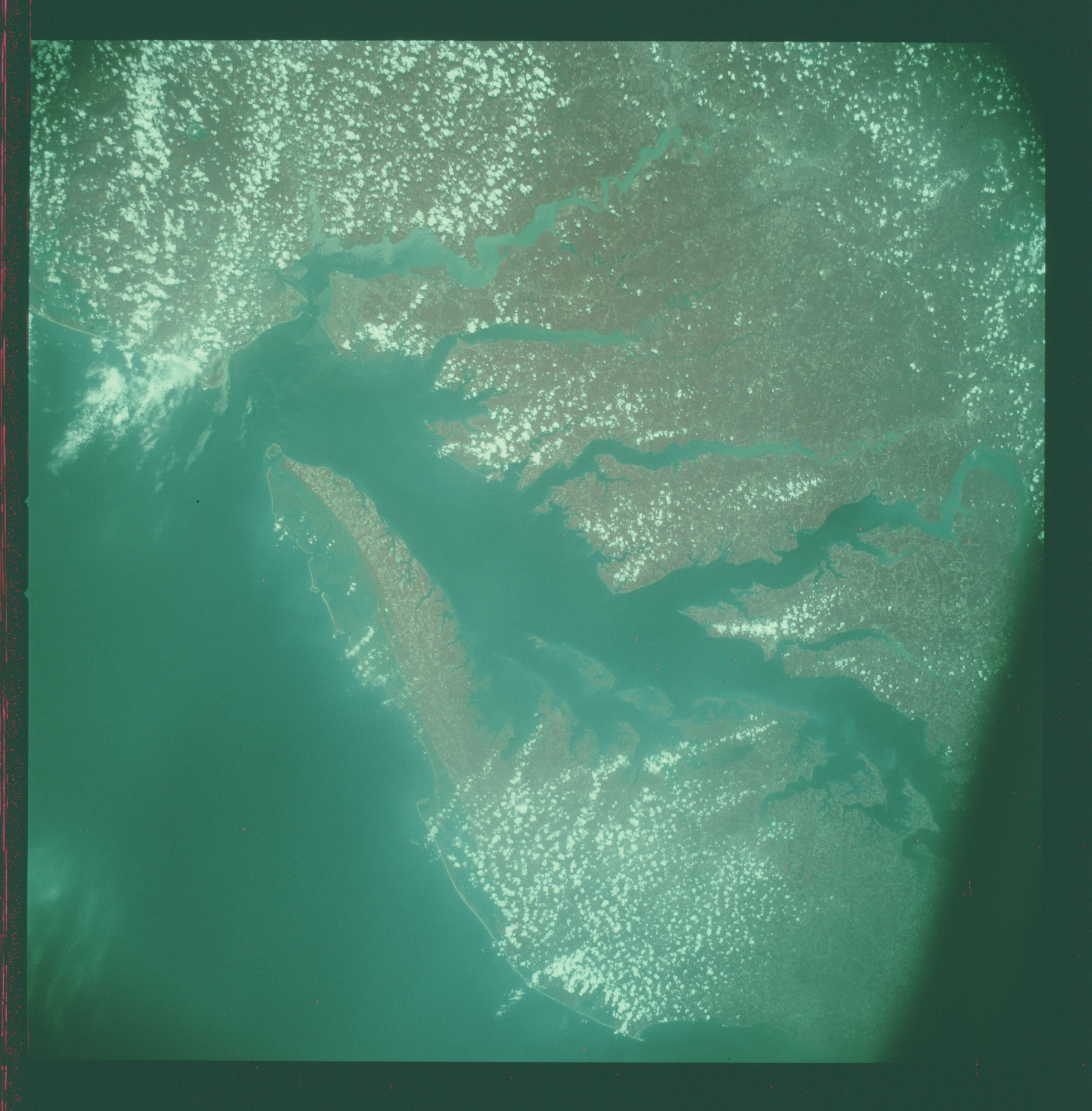
Photo center point: 37.5° N, 76.0° W
Photo center point by machine learning:
Photo center point: 37.5° N, 76.0° W
Photo center point by machine learning:
Nadir to Photo Center:
Spacecraft Altitude: nautical miles (0km)
Country or Geographic Name: | USA-VIRGINIA |
Features: | CHESAPEAKE BAY |
| Features Found Using Machine Learning: | |
Cloud Cover Percentage: | 20 (11-25)% |
Sun Elevation Angle: | ° |
Sun Azimuth: | ° |
Camera: | Hasselblad |
Focal Length: | 50mm |
Camera Tilt: | Near Vertical |
Format: | 2443: Kodak Aerochrome 2443, color IR, thin base, EA-5 process thru June 1999, E-6 process afterward |
Film Exposure: | Normal |
| Additional Information | |
| Width | Height | Annotated | Cropped | Purpose | Links |
|---|---|---|---|---|---|
| 5700 pixels | 5800 pixels | No | No | Download Image | |
| 500 pixels | 509 pixels | No | No | Download Image |
Download Packaged File
Download a Google Earth KML for this Image
View photo footprint information
Download a GeoTIFF for this photo
Image Caption: An infrared, near view of the Chesapeake Bay area showing portions of Virginia, Maryland and Delaware, as photographed from the Apollo spacecraft in Earth orbit during the joint U.S.-USSR Apollo Soyuz Test Project (ASTP) mission. Richmond and Norfolk can be seen in this picture. Tidewater, Virginia covers much of this view. The photograph was taken at an altitude of 217 kilometers (135 statute miles).
