AS09-23-3603
| NASA Photo ID | AS09-23-3603 |
| Focal Length | 80mm |
| Date taken | 1969.03.12 |
| Time taken | 09:27:00 GMT |
Cloud masks available for this image:
Spacecraft nadir point:
Photo center point:
Photo center point by machine learning:
Photo center point:
Photo center point by machine learning:
Nadir to Photo Center:
Spacecraft Altitude: 157 nautical miles (291km)
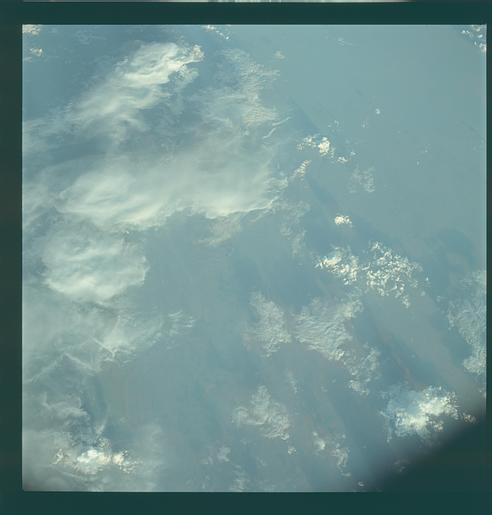
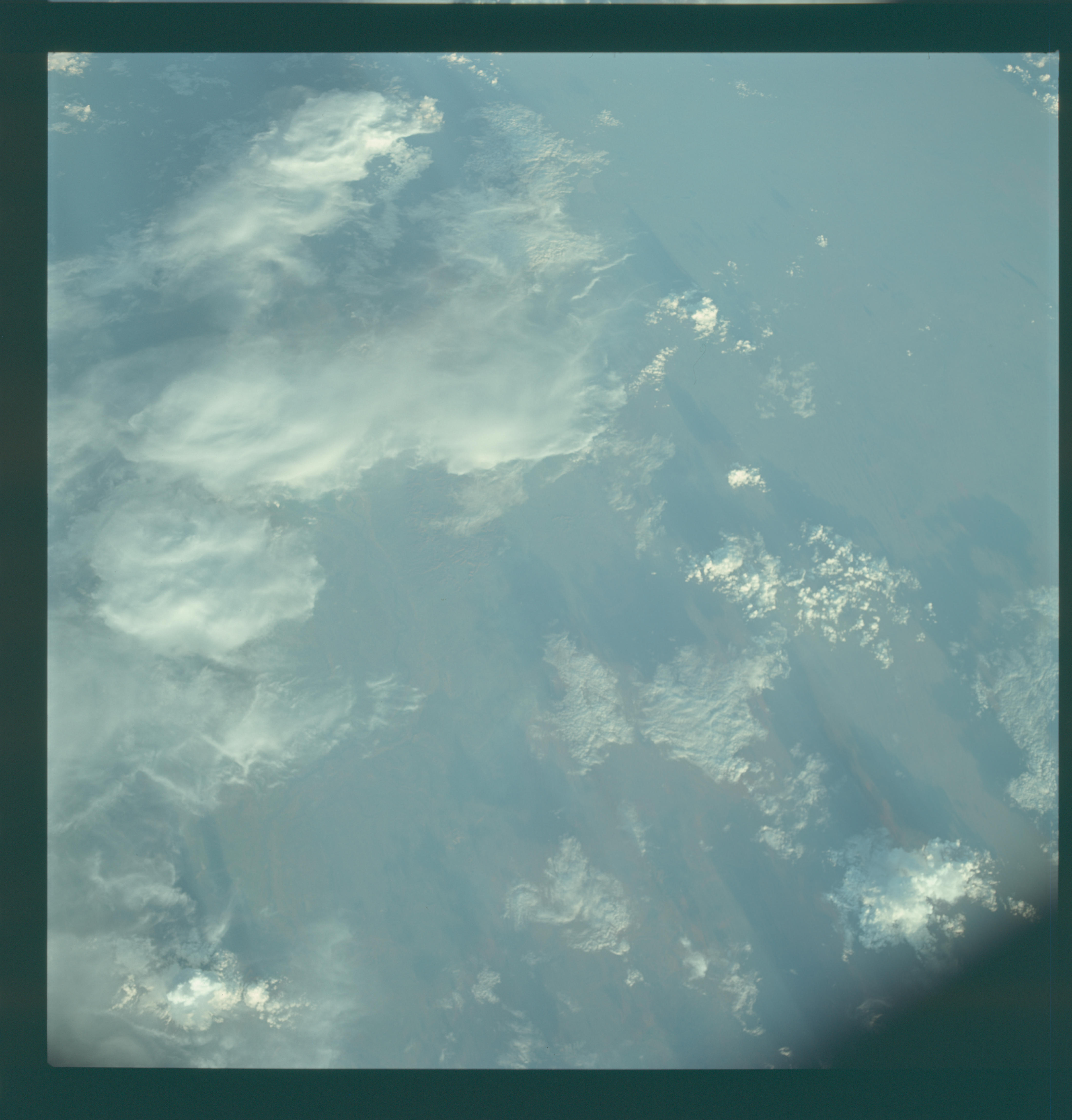
Country or Geographic Name: | AUSTRALIA-WA |
Features: | FITZROY RIVER |
| Features Found Using Machine Learning: | |
Cloud Cover Percentage: | 55 (51-75)% |
Sun Elevation Angle: | 11° |
Sun Azimuth: | ° |
Camera: | Hasselblad |
Focal Length: | 80mm |
Camera Tilt: | High Oblique |
Format: | SO368: Kodak Ektachrome MS, equivalent to 2448 Kodak Aerochrome, ASA64, thin base, fine grain |
Film Exposure: | Normal |
| Additional Information | |
| Width | Height | Annotated | Cropped | Purpose | Links |
|---|---|---|---|---|---|
| 4400 pixels | 4600 pixels | No | No | Download Image | |
| 492 pixels | 515 pixels | No | No | Download Image |
Download Packaged File
Download a Google Earth KML for this Image
View photo footprint information
Download a GeoTIFF for this photo
Image Caption: GEOGRAPHY/CARTOGRAPHY: AUSTRAILIA, BROOME.
GEOLOGY/HYDROLOGY: SEDIMENTARY COASTAL PLAIN.
AGRICULTURE: SCATTERED CULTIVATED AREAS, RANGE LAND.
FORESTRY: GRASSLAND AND SCATTERED SHRUBFORM.
METEOROLOGY: CUMULUS, TOWERING CUMULUS, THICK CIRRUS.
OCEANOGRAPHY:
GEOLOGY/HYDROLOGY: SEDIMENTARY COASTAL PLAIN.
AGRICULTURE: SCATTERED CULTIVATED AREAS, RANGE LAND.
FORESTRY: GRASSLAND AND SCATTERED SHRUBFORM.
METEOROLOGY: CUMULUS, TOWERING CUMULUS, THICK CIRRUS.
OCEANOGRAPHY:
