AS09-23-3566
| NASA Photo ID | AS09-23-3566 |
| Focal Length | 80mm |
| Date taken | 1969.03.11 |
| Time taken | 16:21:00 GMT |

Cloud masks available for this image:
Spacecraft nadir point:
Photo center point: 33.5° N, 86.7° W
Photo center point by machine learning:
Photo center point: 33.5° N, 86.7° W
Photo center point by machine learning:
Nadir to Photo Center:
Spacecraft Altitude: 106 nautical miles (196km)
Country or Geographic Name: | USA-ALABAMA |
Features: | BIRMINGHAM, WINDOW |
| Features Found Using Machine Learning: | |
Cloud Cover Percentage: | 0 (no clouds present) |
Sun Elevation Angle: | 46° |
Sun Azimuth: | ° |
Camera: | Hasselblad |
Focal Length: | 80mm |
Camera Tilt: | High Oblique |
Format: | SO368: Kodak Ektachrome MS, equivalent to 2448 Kodak Aerochrome, ASA64, thin base, fine grain |
Film Exposure: | Normal |
| Additional Information | |
| Width | Height | Annotated | Cropped | Purpose | Links |
|---|---|---|---|---|---|
| 4400 pixels | 4600 pixels | No | No | Download Image | |
| 492 pixels | 515 pixels | No | No | Download Image |
Download Packaged File
Download a Google Earth KML for this Image
View photo footprint information
Download a GeoTIFF for this photo
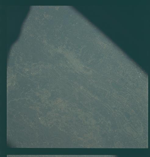
Image Caption: GEOGRAPHY/CARTOGRAPHY: ALABAMA, BIRMINGHAM.
GEOLOGY/HYDROLOGY: FOLDED APPALACHIA.
AGRICULTURE: SCATTERED INTENSE CULTIVATION.
FORESTRY: MIXED FOREST STANDS.
METEOROLOGY: SMALL SCATTERED CUMULUS.
OCEANOGRAPHY:.
Near vertical view of the Birmingham, Alabama area extending to Gadeden, as photographed from the Apollo 9 spacecraft during its earth-orbital mission. The city spreads out between ridges of the folded southern Appalachien Mountains. The major stream in the picture is the Coosa River.
