AS09-23-3485
| NASA Photo ID | AS09-23-3485 |
| Focal Length | 80mm |
| Date taken | 1969.03.10 |
| Time taken | 16:07:00 GMT |
Cloud masks available for this image:
Spacecraft nadir point:
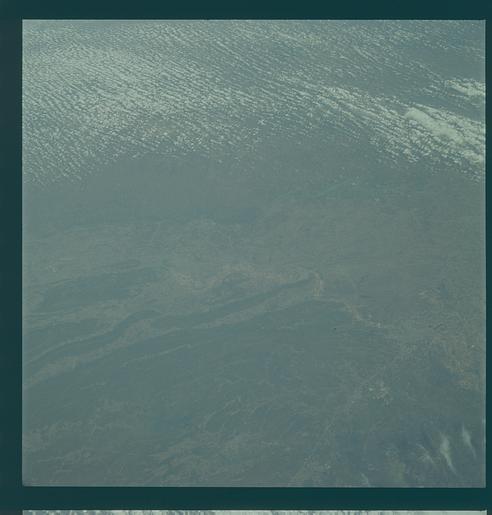
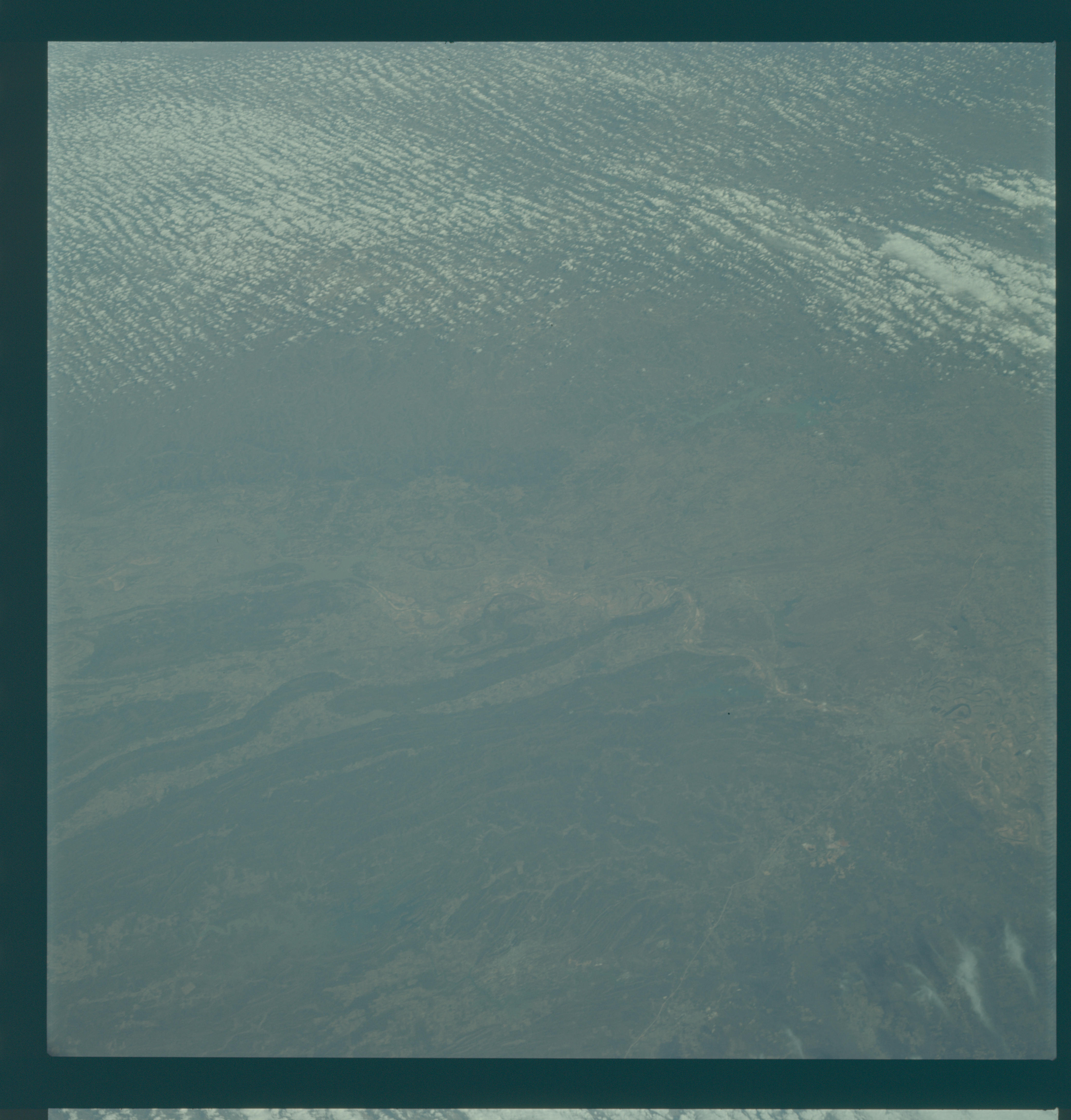
Photo center point: 35.3° N, 92.8° W
Photo center point by machine learning:
Photo center point: 35.3° N, 92.8° W
Photo center point by machine learning:
Nadir to Photo Center:
Spacecraft Altitude: 103 nautical miles (191km)
Country or Geographic Name: | USA-ARKANSAS |
Features: | LITTLE ROCK, ARKANSAS R. |
| Features Found Using Machine Learning: | |
Cloud Cover Percentage: | 30 (26-50)% |
Sun Elevation Angle: | 38° |
Sun Azimuth: | ° |
Camera: | Hasselblad |
Focal Length: | 80mm |
Camera Tilt: | High Oblique |
Format: | SO368: Kodak Ektachrome MS, equivalent to 2448 Kodak Aerochrome, ASA64, thin base, fine grain |
Film Exposure: | Under Exposed |
| Additional Information | |
| Width | Height | Annotated | Cropped | Purpose | Links |
|---|---|---|---|---|---|
| 4400 pixels | 4600 pixels | No | No | Download Image | |
| 492 pixels | 515 pixels | No | No | Download Image |
Download Packaged File
Download a Google Earth KML for this Image
View photo footprint information
Download a GeoTIFF for this photo
Image Caption: GEOGRAPHY/CARTOGRAPHY: ARKANSAS, LITTLE ROCK, ARKANSAS RIVER.
GEOLOGY/HYDROLOGY: COMPLEX FOLDED STRUCTURE, EROSION SURFACE.
FORESTRY: EXTENSIVE MIXED FORESTS AREAS.
AGRICULTURE: SCATTERED CULTIVATED AREAS.
METEOROLOGY: CUMULUS.
OCEANOGRAPHY:
GEOLOGY/HYDROLOGY: COMPLEX FOLDED STRUCTURE, EROSION SURFACE.
FORESTRY: EXTENSIVE MIXED FORESTS AREAS.
AGRICULTURE: SCATTERED CULTIVATED AREAS.
METEOROLOGY: CUMULUS.
OCEANOGRAPHY:
