AS09-22-3405
| NASA Photo ID | AS09-22-3405 |
| Focal Length | 80mm |
| Date taken | 1969.03.09 |
| Time taken | 14:51:00 GMT |
Cloud masks available for this image:
Spacecraft nadir point:
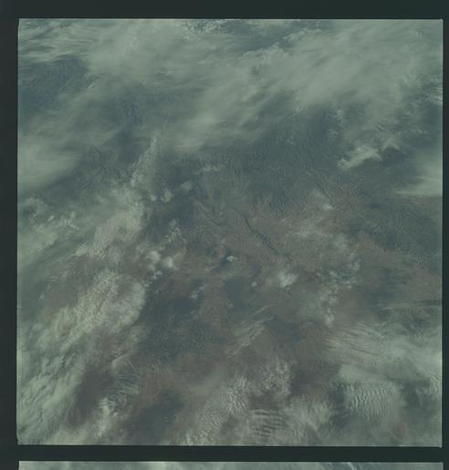
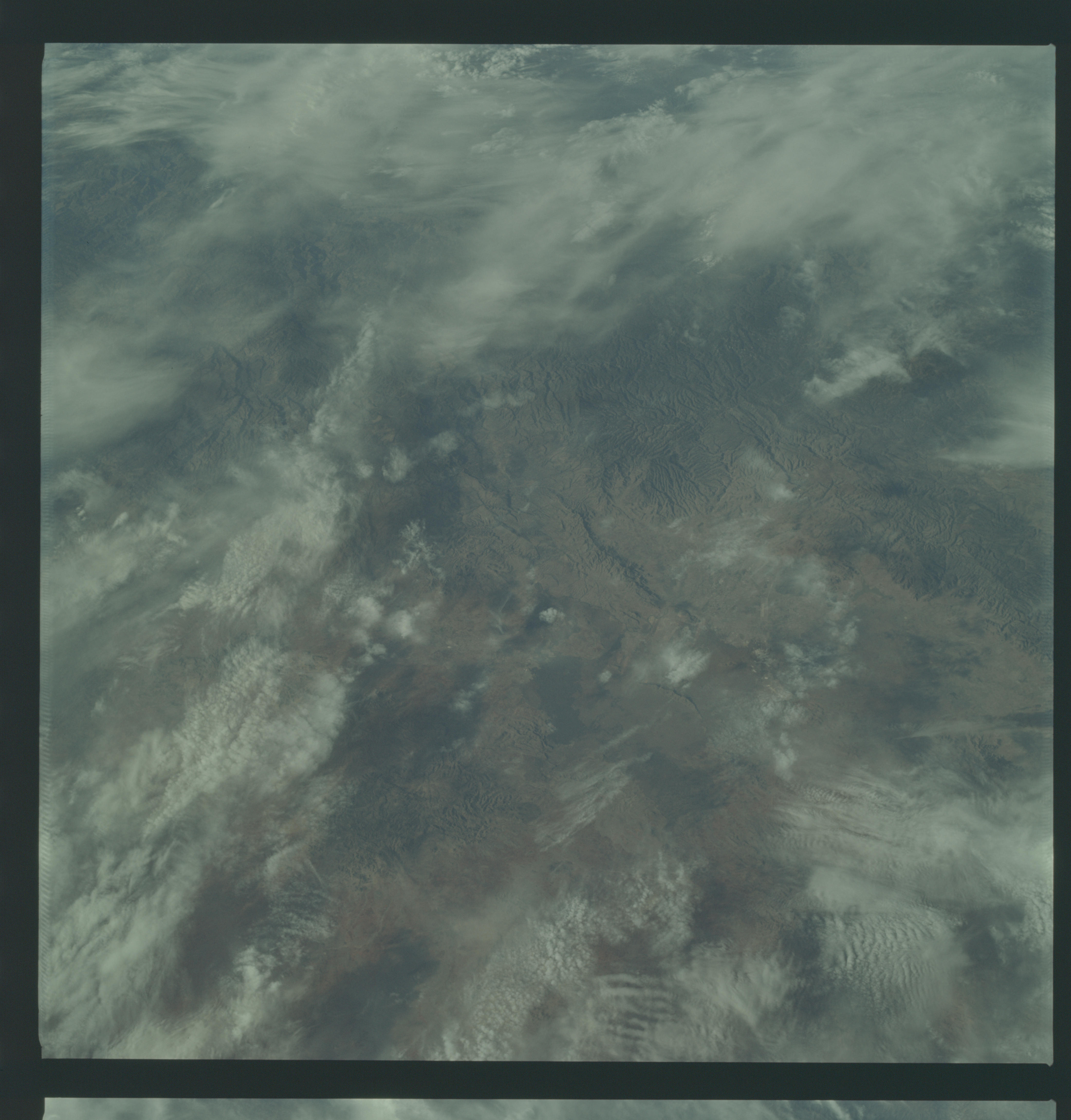
Photo center point: 23.8° N, 104.4° W
Photo center point by machine learning:
Photo center point: 23.8° N, 104.4° W
Photo center point by machine learning:
Nadir to Photo Center:
Spacecraft Altitude: 97 nautical miles (180km)
Country or Geographic Name: | MEXICO |
Features: | DURANGO--DARK |
| Features Found Using Machine Learning: | |
Cloud Cover Percentage: | 48 (26-50)% |
Sun Elevation Angle: | 10° |
Sun Azimuth: | ° |
Camera: | Hasselblad |
Focal Length: | 80mm |
Camera Tilt: | Near Vertical |
Format: | SO368: Kodak Ektachrome MS, equivalent to 2448 Kodak Aerochrome, ASA64, thin base, fine grain |
Film Exposure: | Under Exposed |
| Additional Information | |
| Width | Height | Annotated | Cropped | Purpose | Links |
|---|---|---|---|---|---|
| 4400 pixels | 4600 pixels | No | No | Download Image | |
| 492 pixels | 515 pixels | No | No | Download Image |
Download Packaged File
Download a Google Earth KML for this Image
View photo footprint information
Download a GeoTIFF for this photo
Image Caption: GEOGRAPHY/CARTOGRAPHY: MEXICO, DURANGO PROVINCE, SIERRA MADRE OCCIDENTAL, CITY OF DURANGO.
GEOLOGY/HYDROLOGY: COMPLEX MOUNTAINS.
AGRICULTURE: FIELD PATTERNS NEAR DURANGO.
FORESTRY: SCATTERED DECIDUOUS SHRUBFORM WITH SOME CONIFERS AT HIGHER ELEVATIONS.
METEOROLOGY: CIRRUS UNCINUS,CIRRO-CUMULUS.
OCEANOGRAPHY:
GEOLOGY/HYDROLOGY: COMPLEX MOUNTAINS.
AGRICULTURE: FIELD PATTERNS NEAR DURANGO.
FORESTRY: SCATTERED DECIDUOUS SHRUBFORM WITH SOME CONIFERS AT HIGHER ELEVATIONS.
METEOROLOGY: CIRRUS UNCINUS,CIRRO-CUMULUS.
OCEANOGRAPHY:
