AS09-21-3306
| NASA Photo ID | AS09-21-3306 |
| Focal Length | 80mm |
| Date taken | 1969.03.09 |
| Time taken | 19:37:00 GMT |
Cloud masks available for this image:
Spacecraft nadir point:
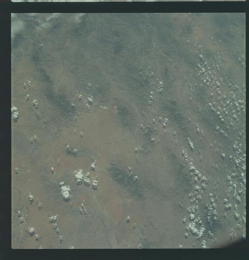
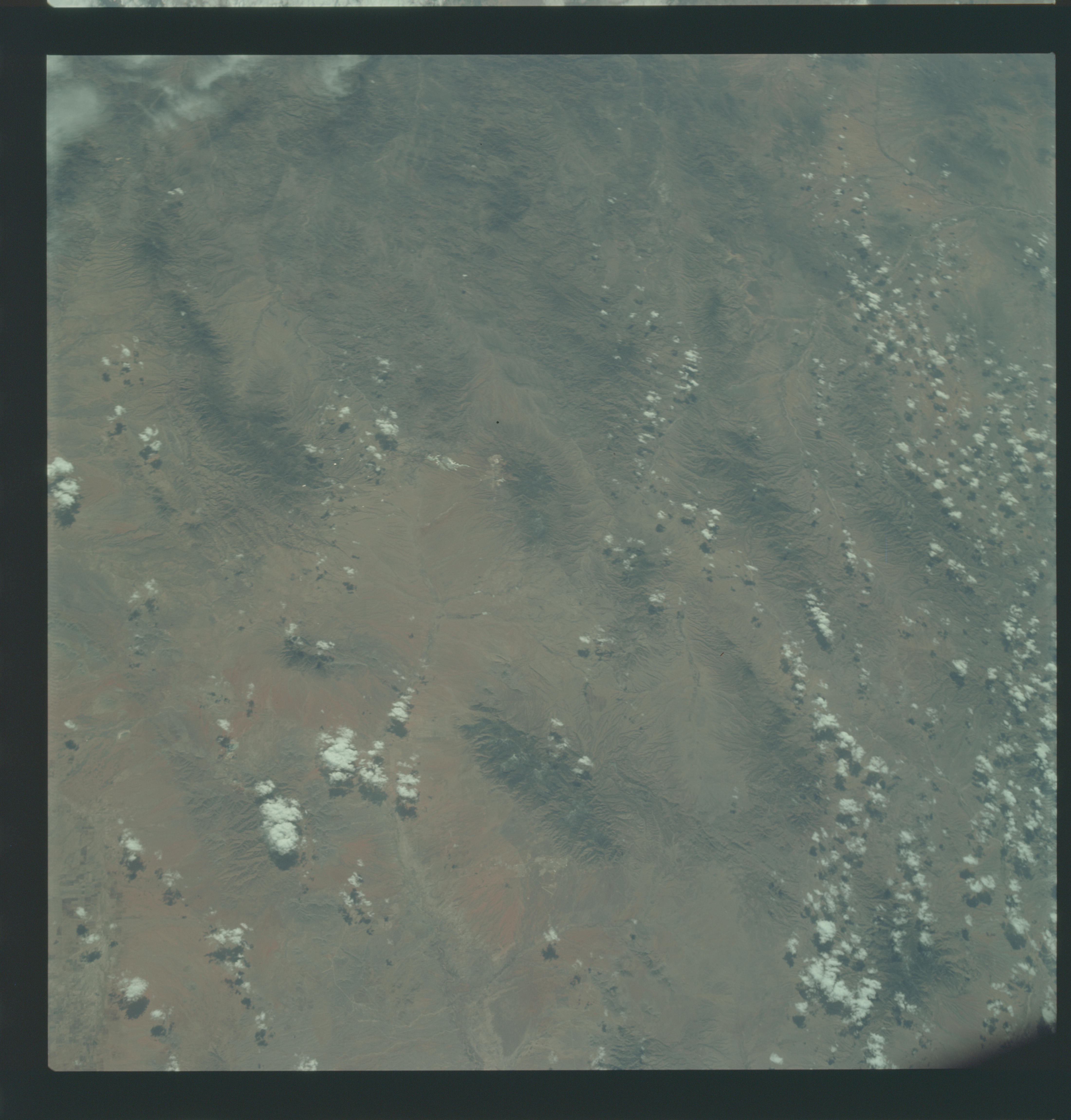
Photo center point: 31.1° N, 110.4° W
Photo center point by machine learning:
Photo center point: 31.1° N, 110.4° W
Photo center point by machine learning:
Nadir to Photo Center:
Spacecraft Altitude: 104 nautical miles (193km)
Country or Geographic Name: | MEXICO |
Features: | FORT HUACHUCA, ARIZONA |
| Features Found Using Machine Learning: | |
Cloud Cover Percentage: | 10 (1-10)% |
Sun Elevation Angle: | 53° |
Sun Azimuth: | ° |
Camera: | Hasselblad |
Focal Length: | 80mm |
Camera Tilt: | Near Vertical |
Format: | SO368: Kodak Ektachrome MS, equivalent to 2448 Kodak Aerochrome, ASA64, thin base, fine grain |
Film Exposure: | Under Exposed |
| Additional Information | |
| Width | Height | Annotated | Cropped | Purpose | Links |
|---|---|---|---|---|---|
| 4400 pixels | 4600 pixels | No | No | Download Image | |
| 492 pixels | 515 pixels | No | No | Download Image |
Download Packaged File
Download a Google Earth KML for this Image
View photo footprint information
Download a GeoTIFF for this photo
Image Caption: GEOGRAPHY/CARTOGRAPHY: UNITED STATES, MEXICO, CALIFORNIA, ARIZONA, FORT HUACHUCA, BISBEE.
GEOLOGY/HYDROLOGY: BASIN AND RANGE PROVINCE OF TERTIARY VOLCANIC RANGES AND ALLUVIAL DEPOSITS.
AGRICULTURE: LARGE FIELD PATTERNS VISIBLE NEAR LIMITS OF FRAME.
FORESTRY: SCATTERED DESERT SHRUBFORM WITH SOME MIXED CONIFERS AT HIGHER ELEVATIONS.
METEOROLOGY: CUMULUS CONGESTUS, CUMULUS HUMILIS.
OCEANOGRAPHY:
