AS09-20-3129

| NASA Photo ID | AS09-20-3129 |
| Focal Length | 80mm |
| Date taken | 1969.03.12 |
| Time taken | 15:01:00 GMT |
Cloud masks available for this image:
Spacecraft nadir point:
Photo center point: 37.0° N, 75.0° W
Photo center point by machine learning:
Photo center point: 37.0° N, 75.0° W
Photo center point by machine learning:
Nadir to Photo Center:
Spacecraft Altitude: 115 nautical miles (213km)
Country or Geographic Name: | USA |
Features: | EAST COAST--NC TO NY |
| Features Found Using Machine Learning: | |
Cloud Cover Percentage: | 70 (51-75)% |
Sun Elevation Angle: | 40° |
Sun Azimuth: | ° |
Camera: | Hasselblad |
Focal Length: | 80mm |
Camera Tilt: | High Oblique |
Format: | SO368: Kodak Ektachrome MS, equivalent to 2448 Kodak Aerochrome, ASA64, thin base, fine grain |
Film Exposure: | Normal |
| Additional Information | |
| Width | Height | Annotated | Cropped | Purpose | Links |
|---|---|---|---|---|---|
| 4400 pixels | 4600 pixels | No | No | Download Image | |
| 492 pixels | 515 pixels | No | No | Download Image |
Download Packaged File
Download a Google Earth KML for this Image
View photo footprint information
Download a GeoTIFF for this photo
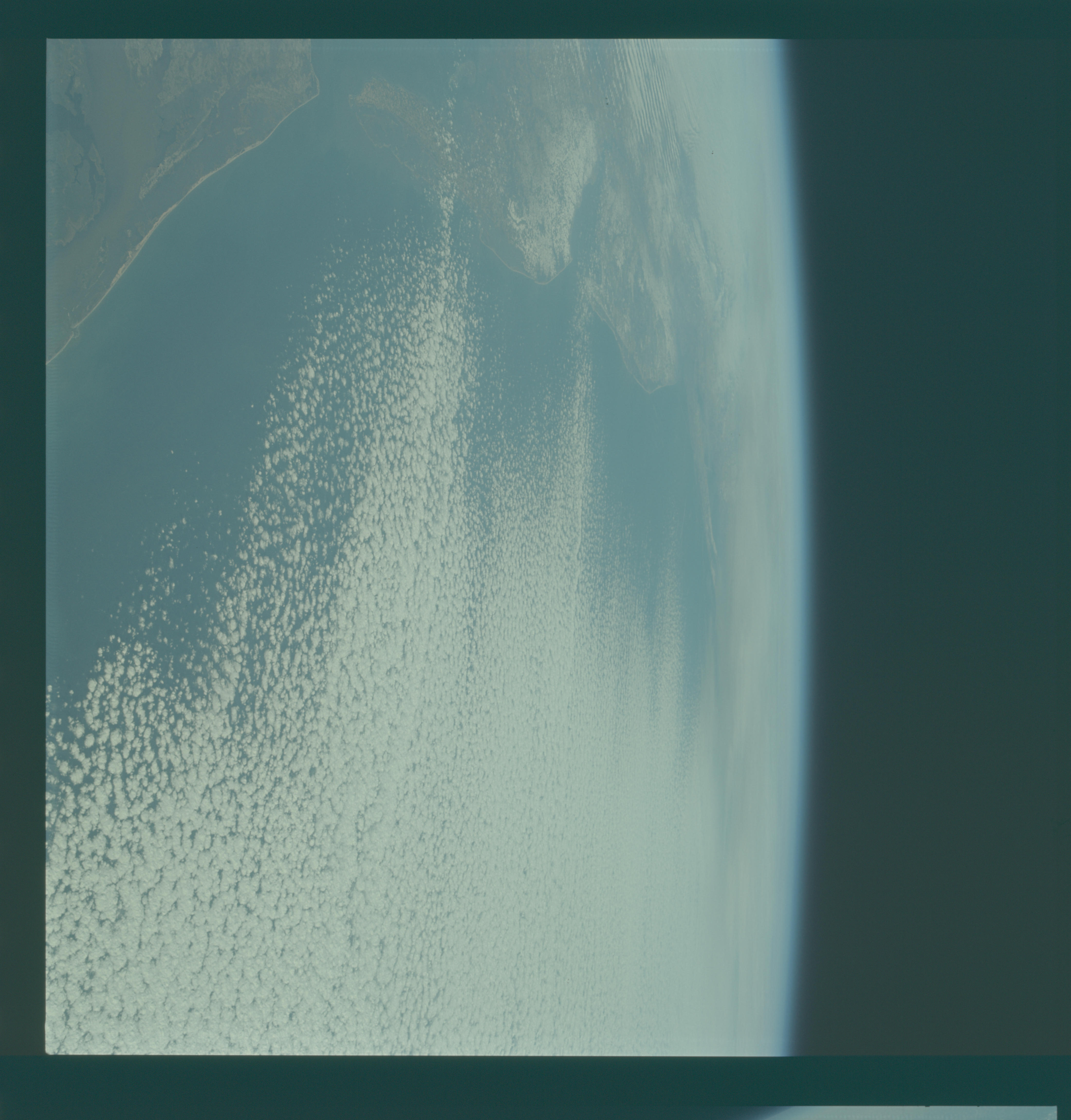
Image Caption: GEOGRAPHY/CARTOGRAPHY: UNITED STATES, NORTH CAROLINA LOOKING NORTH TO LONG ISLAND AND NEW ENGLAND, CAPES HENRY, CHARLES,HENLOPEN, AND MAY, CHESAPEKE AND DELAWARE BAYS, NORFOLK..
GEOLOGY/HYDROLOGY: COASTAL PLAIN REGION.
AGRICULTURE: .
FORESTRY: COASTAL MARSH GRASS.
METEOROLOGY: ALTO-CUMULUS, STRATO-CUMULUS, SNOW COVER IN DELAWARE AND PORTIONS OF NEW JERSEY.
OCEANOGRAPHY: ATLANTIC OCEAN, SOME SEDIMENT PATTERNS VISIBLE.
GEOLOGY/HYDROLOGY: COASTAL PLAIN REGION.
AGRICULTURE: .
FORESTRY: COASTAL MARSH GRASS.
METEOROLOGY: ALTO-CUMULUS, STRATO-CUMULUS, SNOW COVER IN DELAWARE AND PORTIONS OF NEW JERSEY.
OCEANOGRAPHY: ATLANTIC OCEAN, SOME SEDIMENT PATTERNS VISIBLE.
