AS09-19-2987

| NASA Photo ID | AS09-19-2987 |
| Focal Length | 80mm |
| Date taken | 1969.03.09 |
| Time taken | 19:39:00 GMT |
Cloud masks available for this image:
Spacecraft nadir point:
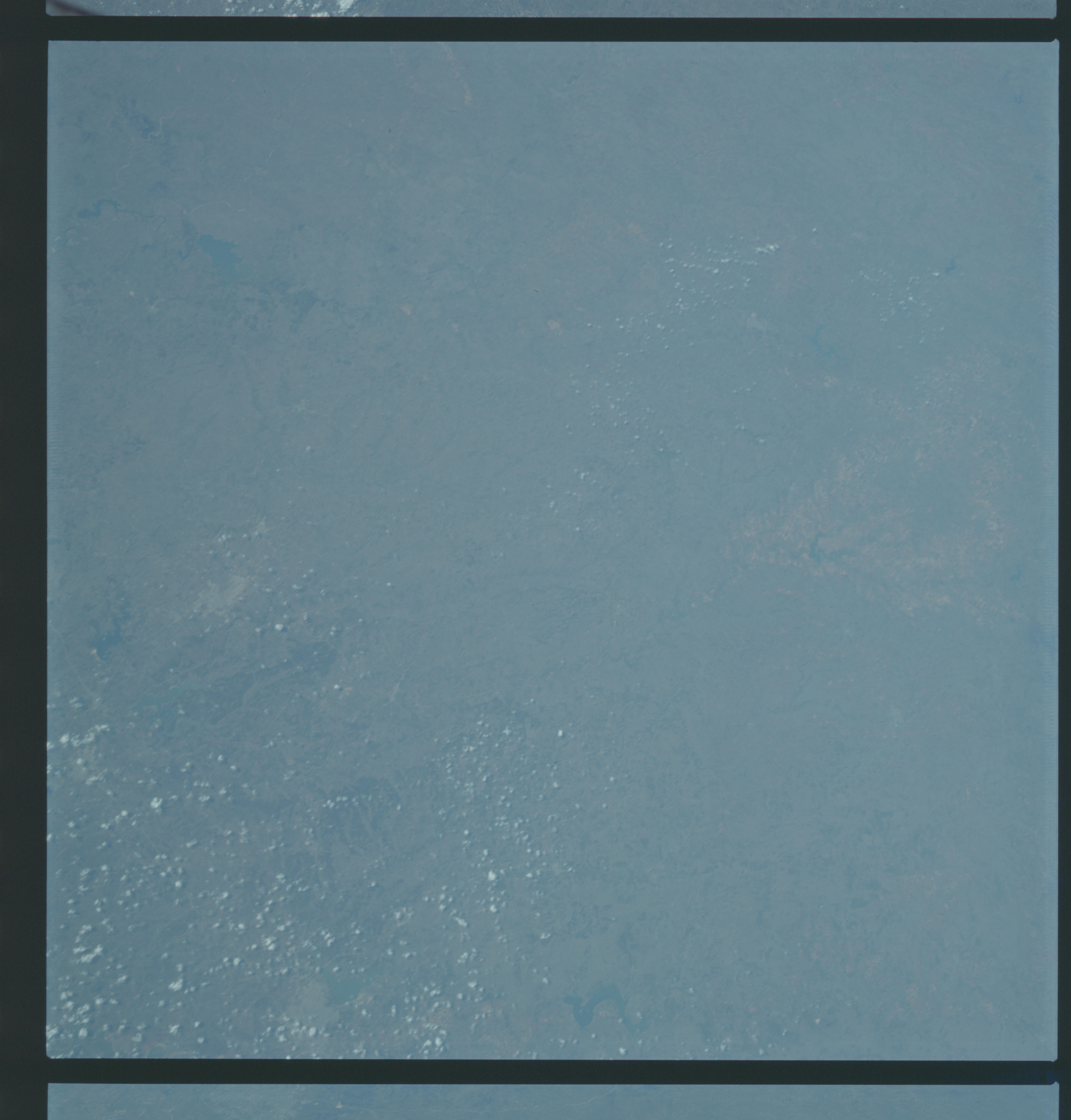
Photo center point: 31.5° N, 98.2° W
Photo center point by machine learning:
Photo center point: 31.5° N, 98.2° W
Photo center point by machine learning:
Nadir to Photo Center:
Spacecraft Altitude: 102 nautical miles (189km)
Country or Geographic Name: | USA-TEXAS |
Features: | LAKE BUCHANAN, WACO |
| Features Found Using Machine Learning: | |
Cloud Cover Percentage: | 3 (1-10)% |
Sun Elevation Angle: | 51° |
Sun Azimuth: | ° |
Camera: | Hasselblad |
Focal Length: | 80mm |
Camera Tilt: | High Oblique |
Format: | SO368: Kodak Ektachrome MS, equivalent to 2448 Kodak Aerochrome, ASA64, thin base, fine grain |
Film Exposure: | Under Exposed |
| Additional Information | |
| Width | Height | Annotated | Cropped | Purpose | Links |
|---|---|---|---|---|---|
| 4400 pixels | 4600 pixels | No | No | Download Image | |
| 492 pixels | 515 pixels | No | No | Download Image |
Download Packaged File
Download a Google Earth KML for this Image
View photo footprint information
Download a GeoTIFF for this photo
Image Caption: GEOGRAPHY/CARTOGRAPHY: UNITED STATES, TEXAS, LAKES BUCHANNAN, WACO, AND WHITNEY, CITIES OF WACO, AND TEMPLE, TOWNS OF KILEEN AND MCGREGOR.
GEOLOGY/HYDROLOGY: CENTRAL PLAINS
AGRICULTURE: SCATTERED TO DENSE CULTIVATION
FORESTRY: SEMI DENSE STANDS OF MIXED FOREST TYPES, GENERALLY NON-COMMERCIAL SHRUBFORM.
METEOROLOGY: CUMULUS HUMILIS
GEOLOGY/HYDROLOGY: CENTRAL PLAINS
AGRICULTURE: SCATTERED TO DENSE CULTIVATION
FORESTRY: SEMI DENSE STANDS OF MIXED FOREST TYPES, GENERALLY NON-COMMERCIAL SHRUBFORM.
METEOROLOGY: CUMULUS HUMILIS
