AS07-7-1872

| NASA Photo ID | AS07-7-1872 |
| Focal Length | 80mm |
| Date taken | 1968.10.__ |
| Time taken | GMT |
Cloud masks available for this image:
Spacecraft nadir point:
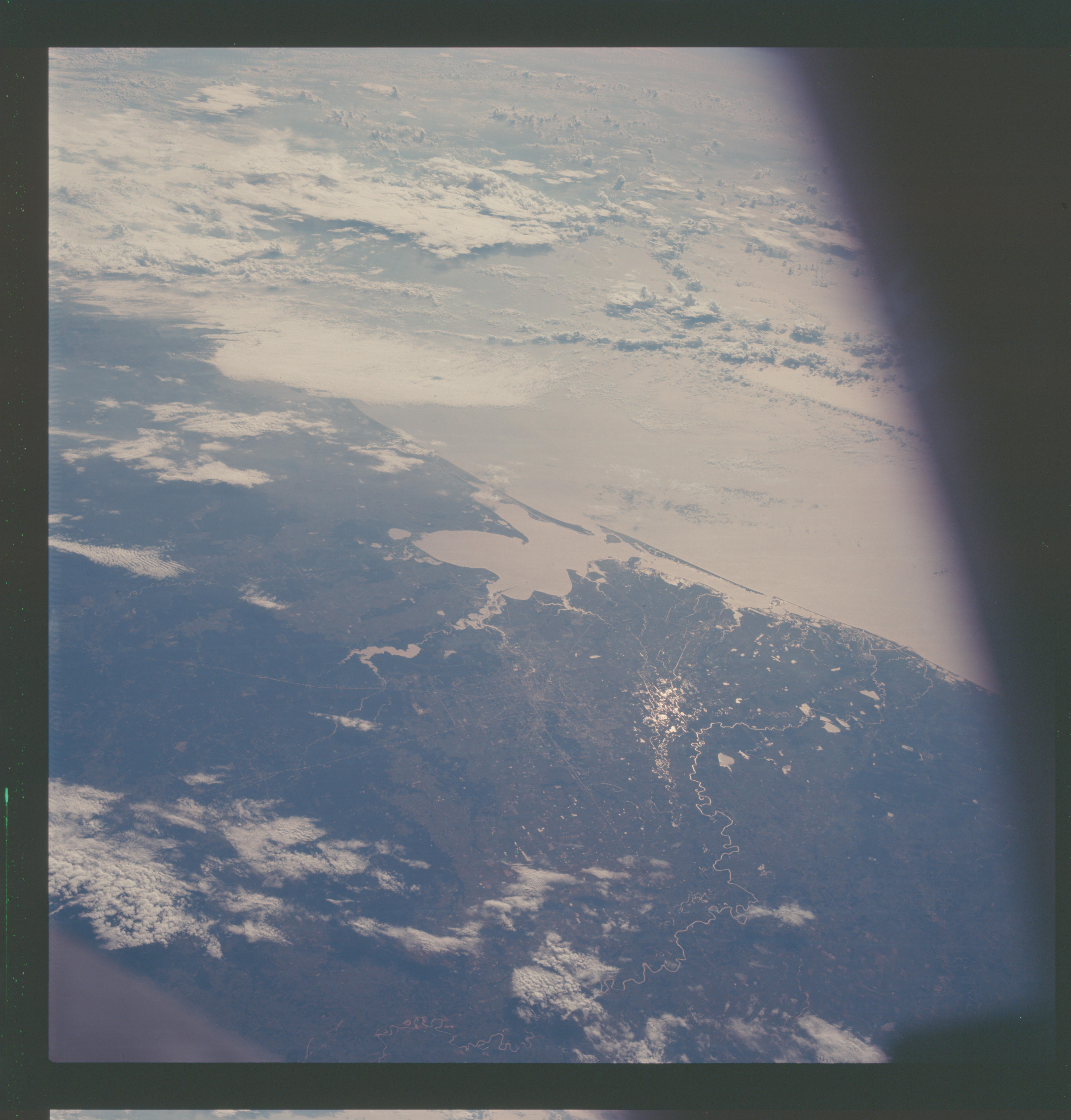
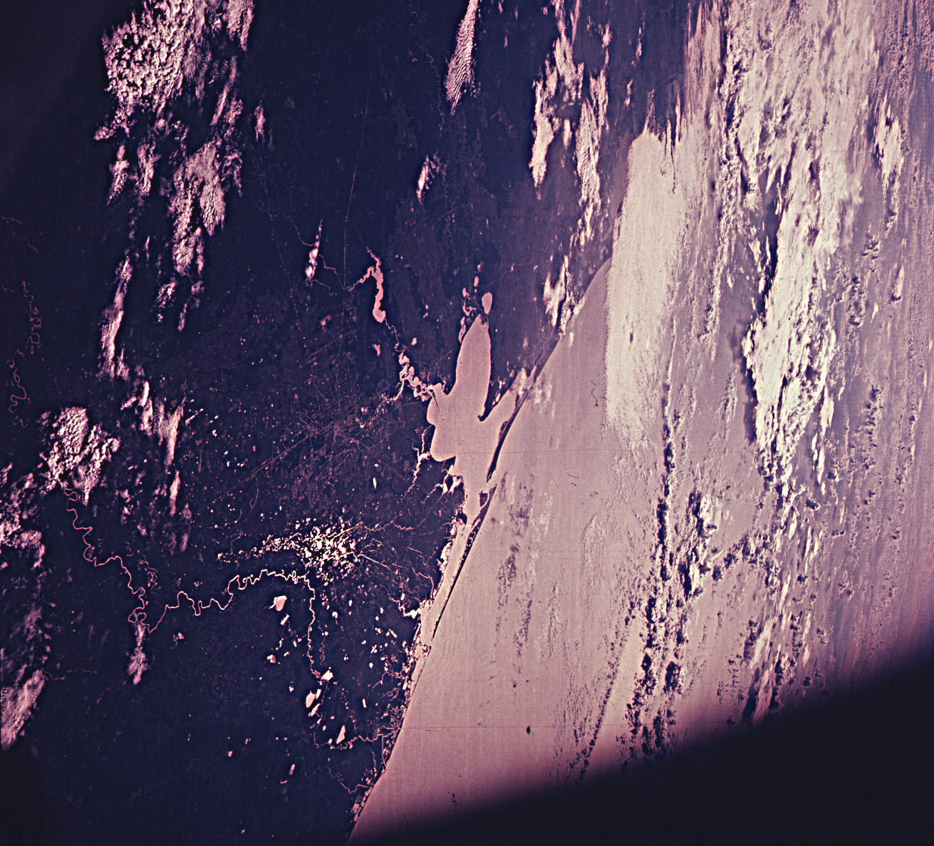
Photo center point: 29.5° N, 95.0° W
Photo center point by machine learning:
Photo center point: 29.5° N, 95.0° W
Photo center point by machine learning:
Nadir to Photo Center:
Spacecraft Altitude: nautical miles (0km)
Country or Geographic Name: | USA-TEXAS |
Features: | GALV. BAY, SUNGLINT ON R |
| Features Found Using Machine Learning: | |
Cloud Cover Percentage: | 40 (26-50)% |
Sun Elevation Angle: | ° |
Sun Azimuth: | ° |
Camera: | Hasselblad |
Focal Length: | 80mm |
Camera Tilt: | High Oblique |
Format: | SO121: Kodak Ektachrome 64 |
Film Exposure: | Under Exposed |
| Additional Information | |
| Width | Height | Annotated | Cropped | Purpose | Links |
|---|---|---|---|---|---|
| 4400 pixels | 4600 pixels | No | No | Download Image | |
| 492 pixels | 515 pixels | No | No | Download Image | |
| 1311 pixels | 1187 pixels | No | No | Download Image |
Download Packaged File
Download a Google Earth KML for this Image
View photo footprint information
Download a GeoTIFF for this photo
Image Caption: The Houston, Texas and Gulf Coast area, looking southeast, as seen from the Apollo 7 spacecraft during its 91st revolution of the earth. Photographed from an altitude of 101 nautical miles, at ground elapsed time of 144 hours and 26 minutes. The morning sun causes a reflection on the water surfaces such as the Gulf of Mexico, Galveston Bay, Buffalo Bayou and the Brazos River and causes a unique reflection in the canals and fields west of Alvin. Some of the landmarks visible in this picture include highways and freeways, the Astrodome, the Intercontinental Airport and the Manned Spacecraft Center.
