AS07-5-1667
| NASA Photo ID | AS07-5-1667 |
| Focal Length | 80mm |
| Date taken | 1968.10.__ |
| Time taken | GMT |
Cloud masks available for this image:
Spacecraft nadir point:
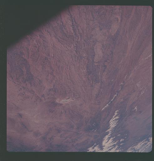
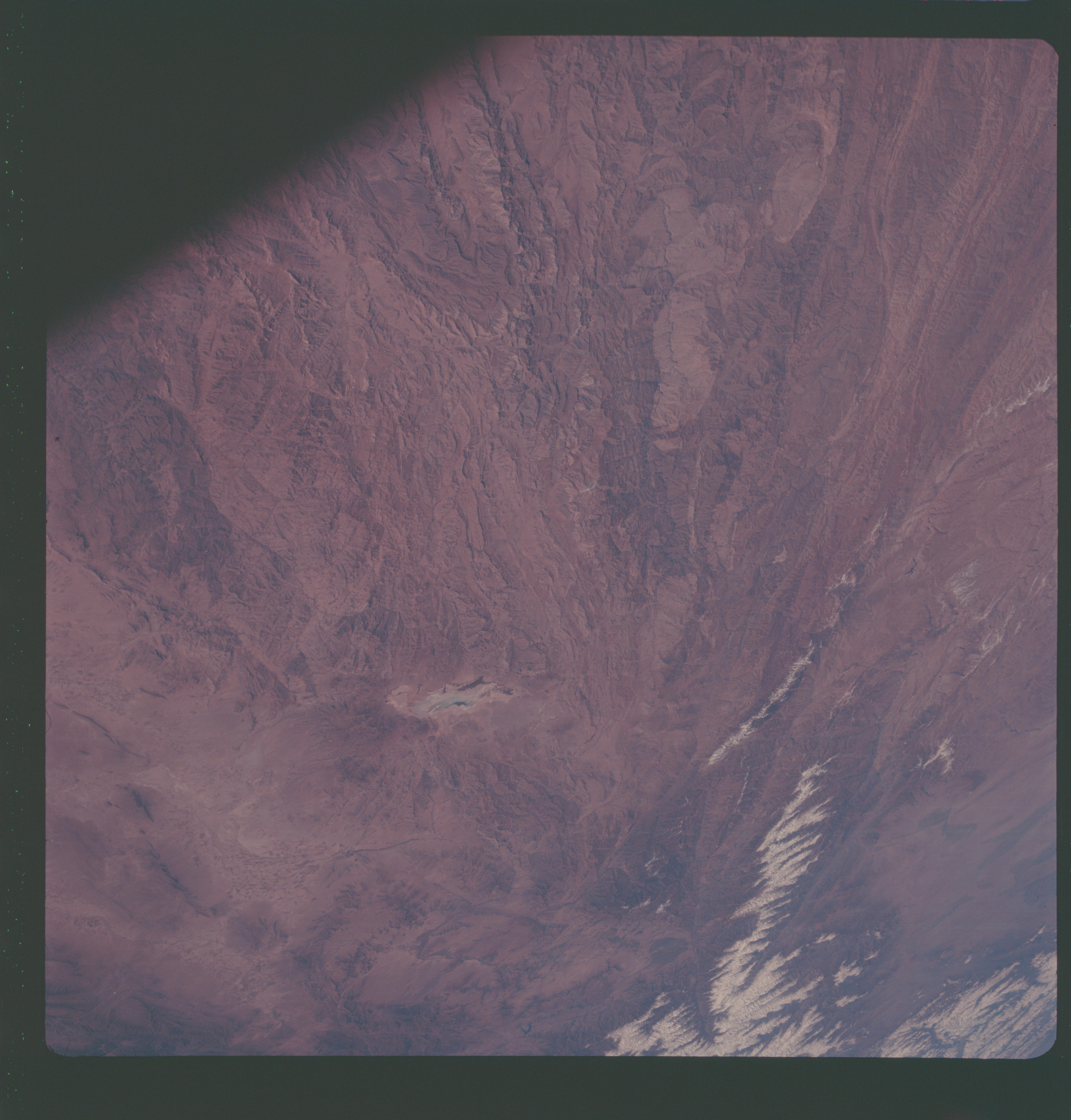
Photo center point: 33.5° N, 67.0° E
Photo center point by machine learning:
Photo center point: 33.5° N, 67.0° E
Photo center point by machine learning:
Nadir to Photo Center:
Spacecraft Altitude: nautical miles (0km)
Country or Geographic Name: | AFGHANISTAN |
Features: | PANJSHIR R, DASHT E NAVAR |
| Features Found Using Machine Learning: | |
Cloud Cover Percentage: | |
Sun Elevation Angle: | ° |
Sun Azimuth: | ° |
Camera: | Hasselblad |
Focal Length: | 80mm |
Camera Tilt: | Low Oblique |
Format: | SO121: Kodak Ektachrome 64 |
Film Exposure: | Normal |
| Additional Information | |
| Width | Height | Annotated | Cropped | Purpose | Links |
|---|---|---|---|---|---|
| 4400 pixels | 4600 pixels | No | No | Download Image | |
| 492 pixels | 515 pixels | No | No | Download Image |
Download Packaged File
Download a Google Earth KML for this Image
View photo footprint information
Download a GeoTIFF for this photo
Image Caption: Kabul, Afghanistan area as seen from the Apollo 7 spacecraft during its 39th revolution of the earth. Photographed from an altitude of 127 nautical miles, at ground elapsed time of 61 hours and 20 minutes. Also, visible in picture are the Panjshir River and the Koh-i-Baba Mountains.
