< STS042-79-R >
| NASA Photo ID | STS042-79-R |
| Focal Length | 100mm |
| Date taken | 1992.01.__ |
| Time taken | GMT |
Cloud masks available for this image:
Spacecraft nadir point:
Photo center point: 52.0° N, 80.0° W
Photo center point by machine learning:
Photo center point: 52.0° N, 80.0° W
Photo center point by machine learning:
Nadir to Photo Center:
Spacecraft Altitude: nautical miles (0km)Body: Earth
Country or Geographic Name: | CANADA-O |
Features: | JAMES BAY, AKIMISKI IS. |
| Features Found Using Machine Learning: | |
Cloud Cover Percentage: | 0 (no clouds present) |
Sun Elevation Angle: | ° |
Sun Azimuth: | ° |
Camera: | Hasselblad |
Focal Length: | 100mm |
Camera Tilt: | Low Oblique |
Format: | 5017: Kodak, natural color positive, Ektachrome, X Professional, ASA 64, standard base |
Film Exposure: | Normal |
| Additional Information | |
| Width | Height | Annotated | Cropped | Purpose | Links |
|---|---|---|---|---|---|
| 5700 pixels | 6000 pixels | No | No | Download Image | |
| 500 pixels | 526 pixels | No | No | Download Image | |
| 640 pixels | 480 pixels | No | No | Download Image |
Download Packaged File
Download a Google Earth KML for this Image
View photo footprint information
No GeoTIFF is available for this photo.Image Caption:
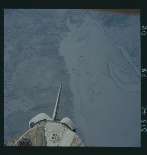
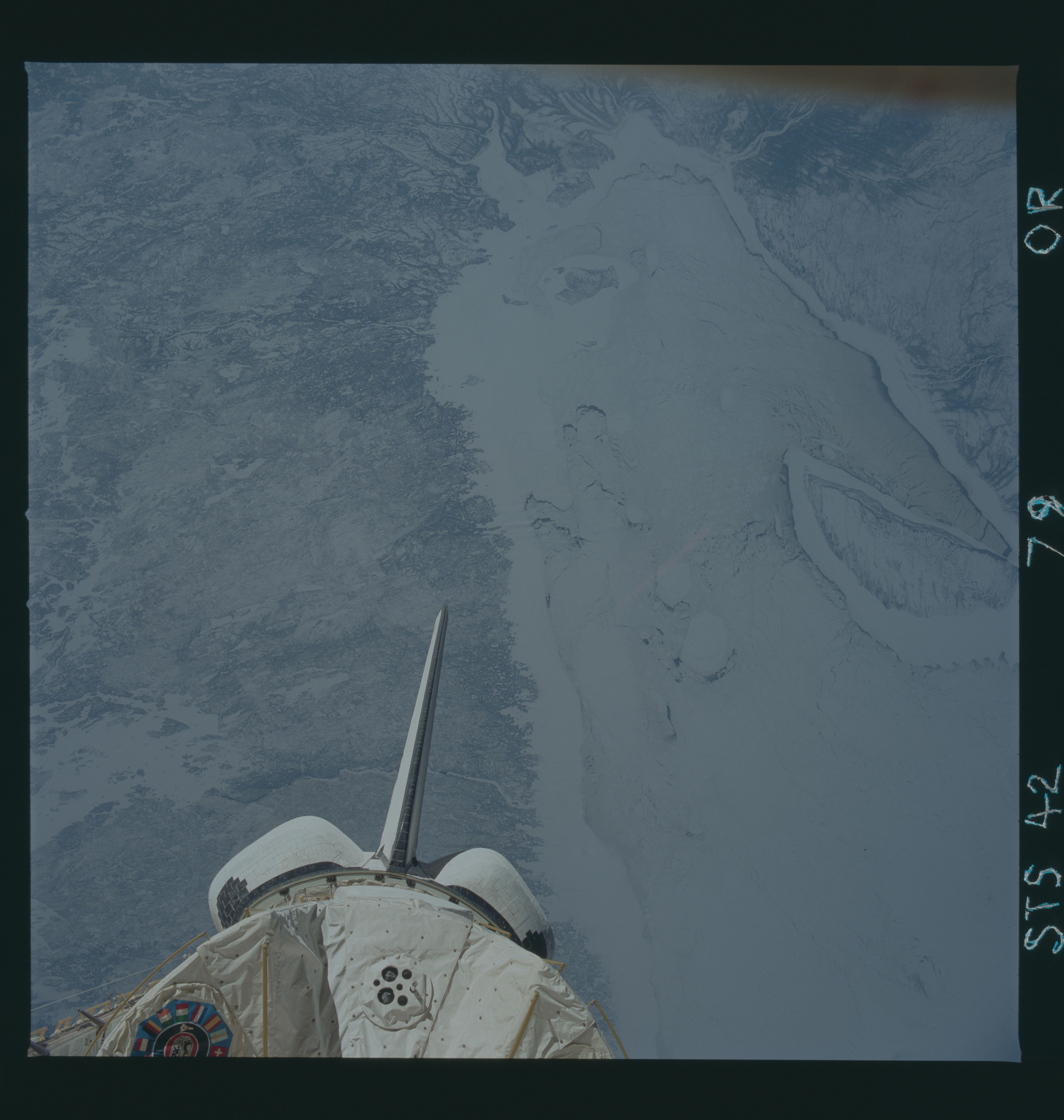
STS042-79-000R Frozen Hudson Bay This view of James Bay, the
southern extension of Hudson Bay, shows a heavy ice pack that is
solid in the shallow water along the shore and broken up in the
deeper, offshore water where tidal currents are stronger. The
large island on the western side of the bay is Akimiski Island,
and several smaller islands (North Twin Island, South Twin Is-
land, and Charlton Island) can be seen along the eastern side.
The rivers seen entering James Bay include the Albany River to
the west, the Moose and Harricana Rivers to the south, and the
Eastman River to the east. The orange streak in the center of
the photo is a reflection off the Shuttle window.
STS-42 Earth observation taken aboard Discovery, Orbiter Vehicle (OV) 103, of James Bay in eastern Canada (52.0N, 80.0W) shows a heavy ice pack which is solid in the shallow water and broken up in the deeper, offshore water where tidal currents are sharper. The large island along the western boundary is Akimiski Island and several smaller islands (including North Twin, South Twin and Charlton) can be seen along the eastern coastlines. Several rivers are seen entering James Bay, including the Albany River to the west, the Moose River and Harricana River to the south, and Eastman River to the east. The orange streak at the center is a reflection in the shuttle window. The International Microgravity Laboratory 1 (IML-1) exterior forward end cone and OV-103's vertical tail and orbital maneuvering system (OMS) pods appear in the view.
STS042-79-000R Frozen Hudson Bay This view of James Bay, the
southern extension of Hudson Bay, shows a heavy ice pack that is
solid in the shallow water along the shore and broken up in the
deeper, offshore water where tidal currents are stronger. The
large island on the western side of the bay is Akimiski Island,
and several smaller islands (North Twin Island, South Twin Is-
land, and Charlton Island) can be seen along the eastern side.
The rivers seen entering James Bay include the Albany River to
the west, the Moose and Harricana Rivers to the south, and the
Eastman River to the east. The orange streak in the center of
the photo is a reflection off the Shuttle window.
STS-42 Earth observation taken aboard Discovery, Orbiter Vehicle (OV) 103, of James Bay in eastern Canada (52.0N, 80.0W) shows a heavy ice pack which is solid in the shallow water and broken up in the deeper, offshore water where tidal currents are sharper. The large island along the western boundary is Akimiski Island and several smaller islands (including North Twin, South Twin and Charlton) can be seen along the eastern coastlines. Several rivers are seen entering James Bay, including the Albany River to the west, the Moose River and Harricana River to the south, and Eastman River to the east. The orange streak at the center is a reflection in the shuttle window. The International Microgravity Laboratory 1 (IML-1) exterior forward end cone and OV-103's vertical tail and orbital maneuvering system (OMS) pods appear in the view.

