< STS073-707-AA >
| NASA Photo ID | STS073-707-AA |
| Focal Length | 100mm |
| Date taken | 1995.__.__ |
| Time taken | GMT |
Resolutions offered for this image:
3904 x 3840 pixels 639 x 629 pixels 5700 x 5900 pixels 500 x 518 pixels
3904 x 3840 pixels 639 x 629 pixels 5700 x 5900 pixels 500 x 518 pixels


Cloud masks available for this image:
Spacecraft nadir point:
Photo center point: 40.5° N, 74.0° W
Photo center point by machine learning:
Photo center point: 40.5° N, 74.0° W
Photo center point by machine learning:
Nadir to Photo Center:
Spacecraft Altitude: nautical miles (0km)
Country or Geographic Name: | USA-NEW YORK |
Features: | NEW YORK, HUDSON RIVER |
| Features Found Using Machine Learning: | |
Cloud Cover Percentage: | 0 (no clouds present) |
Sun Elevation Angle: | ° |
Sun Azimuth: | ° |
Camera: | Hasselblad |
Focal Length: | 100mm |
Camera Tilt: | Low Oblique |
Format: | 5046: Kodak, natural color positive, Lumiere 100/5046, ASA 100, standard base |
Film Exposure: | Normal |
| Additional Information | |
| Width | Height | Annotated | Cropped | Purpose | Links |
|---|---|---|---|---|---|
| 3904 pixels | 3840 pixels | No | No | Earth From Space collection | Download Image |
| 639 pixels | 629 pixels | No | No | Earth From Space collection | Download Image |
| 5700 pixels | 5900 pixels | No | No | Download Image Download Color Calibration Image for this Image |
|
| 500 pixels | 518 pixels | No | No | Download Image Download Color Calibration Image for this Image |
Download Packaged File
Download a Google Earth KML for this Image
View photo footprint information
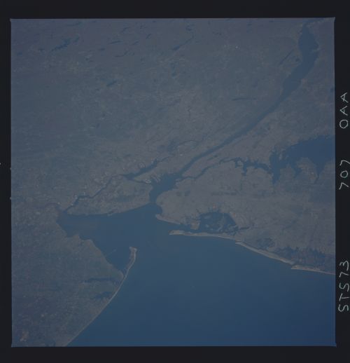
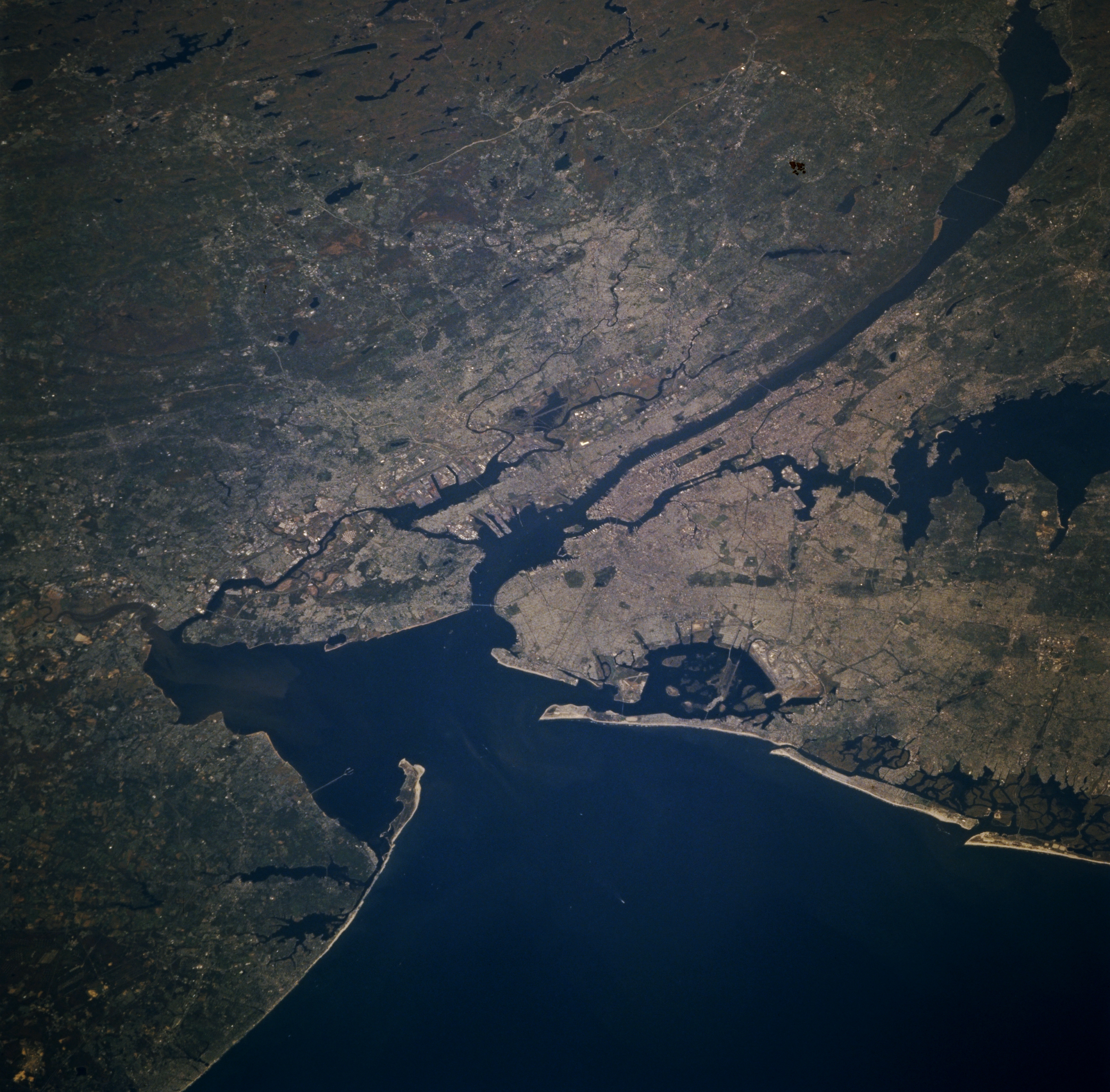
No GeoTIFF is available for this photo.Image Caption: STS073-707-0AA New York City Area, New York October 1995
Situated at the mouth of the Hudson River, the New York City Metropolitan area can be seen in this north-looking view. The New York Metropolitan area is the largest in the world. The region has the United States largest seaport area with extensive harbor facilities that total 755 miles (1217 km) of developed frontage. New York city is the world's foremost financial center and is headquarters to many major corporations. The city is also a mass communications center. The Hudson River can be seen entering the scene at the upper left (north) flowing south and emptying into Upper New York Bay near the center of the image. The Appalachian Mountains of northwestern New Jersey are visible covering the upper left and upper center of the image. The Atlantic Ocean covers the bottom center and bottom right of the image. From near the center of the image extending to the right center (east) of the image are Long Island and Long Island sound.
Situated at the mouth of the Hudson River, the New York City Metropolitan area can be seen in this north-looking view. The New York Metropolitan area is the largest in the world. The region has the United States largest seaport area with extensive harbor facilities that total 755 miles (1217 km) of developed frontage. New York city is the world's foremost financial center and is headquarters to many major corporations. The city is also a mass communications center. The Hudson River can be seen entering the scene at the upper left (north) flowing south and emptying into Upper New York Bay near the center of the image. The Appalachian Mountains of northwestern New Jersey are visible covering the upper left and upper center of the image. The Atlantic Ocean covers the bottom center and bottom right of the image. From near the center of the image extending to the right center (east) of the image are Long Island and Long Island sound.
