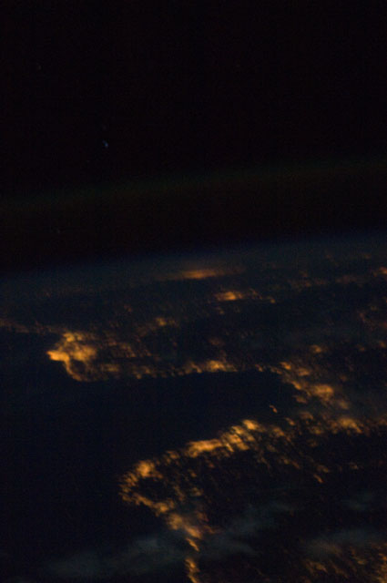
< ISS033-E-9827 >
| NASA Photo ID | ISS033-E-9827 |
| Focal Length | 85mm |
| Date taken | 2012.10.01 |
| Time taken | 22:24:10 GMT |
Cloud masks available for this image:
Spacecraft nadir point: 46.0° N, 18.5° E
Photo center point:
Photo center point by machine learning:
Photo center point:
Photo center point by machine learning:
Nadir to Photo Center:
Spacecraft Altitude: 217 nautical miles (402km)
Country or Geographic Name: | |
Features: | |
| Features Found Using Machine Learning: | |
Cloud Cover Percentage: | 0 (no clouds present) |
Sun Elevation Angle: | -48° |
Sun Azimuth: | 356° |
Camera: | NIKON D2Xs S/N: 6027264 |
Focal Length: | 85mm |
Camera Tilt: | |
Format: | |
Film Exposure: | |
| Additional Information | |
| Width | Height | Annotated | Cropped | Purpose | Links |
|---|---|---|---|---|---|
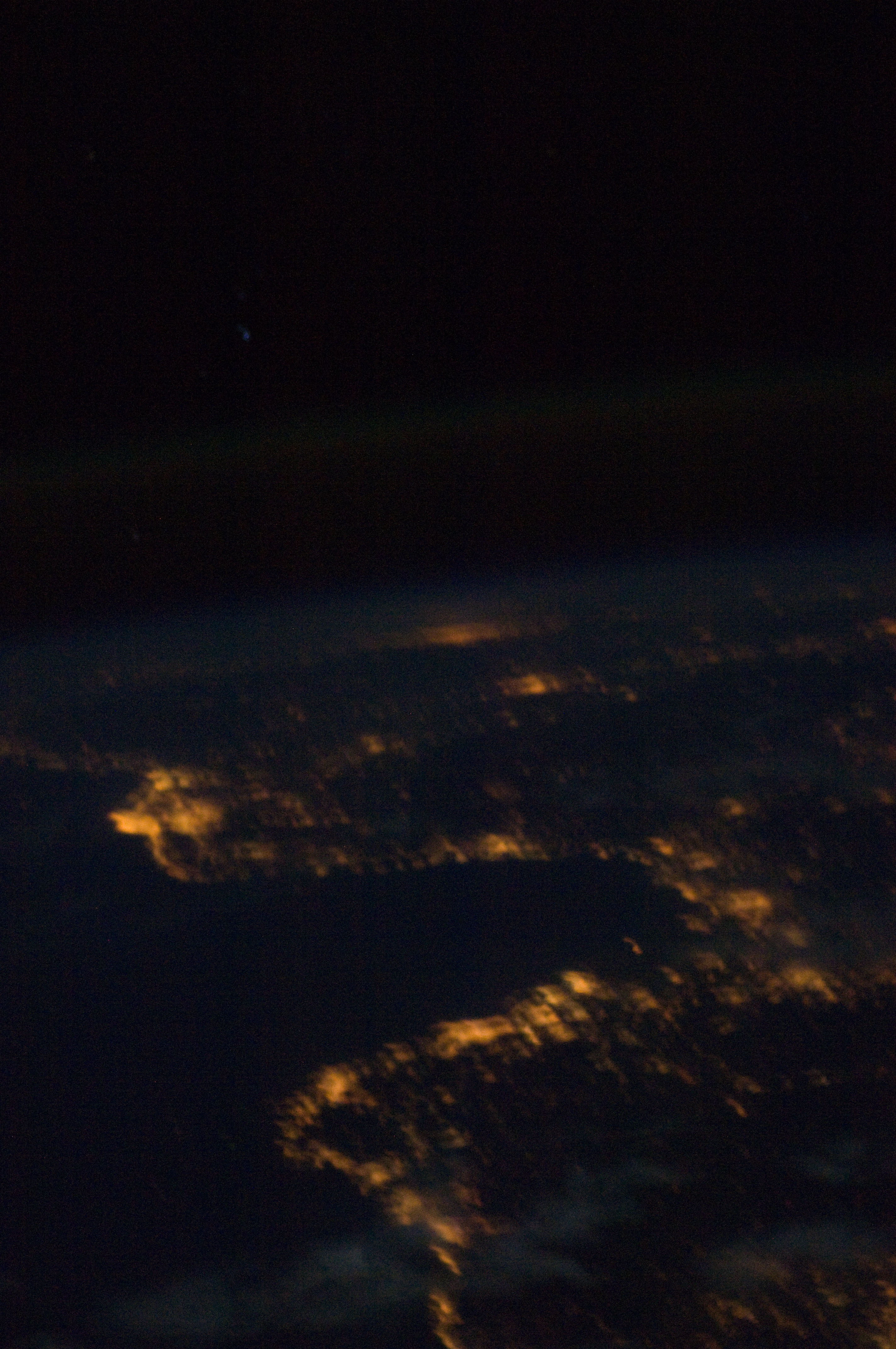
| 2848 pixels | 4288 pixels | No | No | Download Image | |
| 425 pixels | 640 pixels | No | No | Download Image |
Download Packaged File
Download a Google Earth KML for this Image
View photo footprint information
No GeoTIFF is available for this photo.Image Caption: none
