< STS026-43-98 >

| NASA Photo ID | STS026-43-98 |
| Focal Length | 50mm |
| Date taken | 1988.10.02 |
| Time taken | 10:21:18 GMT |
Resolutions offered for this image:
4573 x 4481 pixels 639 x 627 pixels 5700 x 5900 pixels 500 x 518 pixels 640 x 480 pixels
4573 x 4481 pixels 639 x 627 pixels 5700 x 5900 pixels 500 x 518 pixels 640 x 480 pixels


Cloud masks available for this image:
Spacecraft nadir point: 20.4° N, 24.4° E
Photo center point: 19.0° N, 20.0° E
Photo center point by machine learning:
Photo center point: 19.0° N, 20.0° E
Photo center point by machine learning:
Nadir to Photo Center: West
Spacecraft Altitude: 169 nautical miles (313km)
Camera: | Hasselblad |
Focal Length: | 50mm |
Camera Tilt: | High Oblique |
Format: | 5017: Kodak, natural color positive, Ektachrome, X Professional, ASA 64, standard base |
Film Exposure: | Normal |
| Additional Information | |
| Width | Height | Annotated | Cropped | Purpose | Links |
|---|---|---|---|---|---|
| 4573 pixels | 4481 pixels | No | No | Earth From Space collection | Download Image |
| 639 pixels | 627 pixels | No | No | Earth From Space collection | Download Image |
| 5700 pixels | 5900 pixels | No | No | Download Image | |
| 500 pixels | 518 pixels | No | No | Download Image | |
| 640 pixels | 480 pixels | No | No | Download Image |
Download Packaged File
Download a Google Earth KML for this Image
View photo footprint information
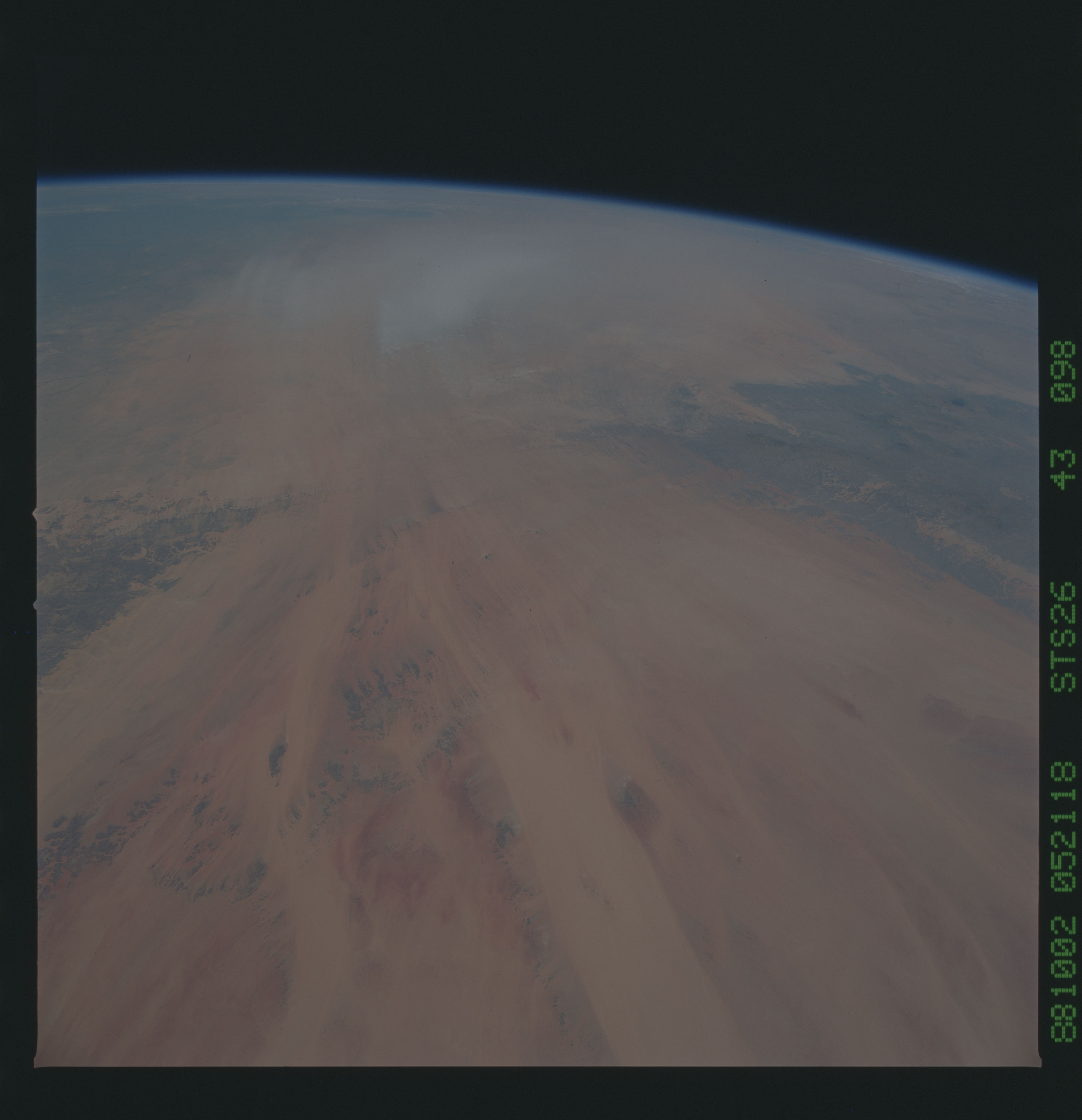
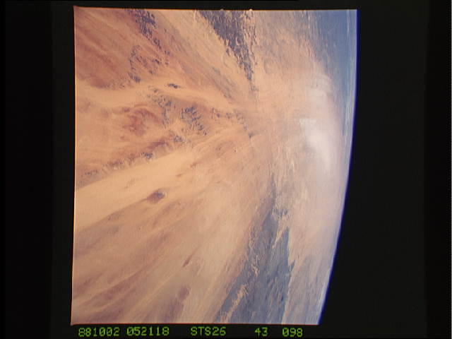
No GeoTIFF is available for this photo.Image Caption: STS026-043-098 Wind Streaks of Northern Chad, Chad October 1988
The dynamic forces of nature are very evident in this high-oblique, southwest-looking photograph of northern Chad. In addition to producing dramatic expression in wind streaks aligned northeast-southwest, nature has created a unique landscape of well-entrenched, wind-eroded patterns by the predominate wind that begins in the Libyan Desert, blows toward the southwest across the Djourab Sand Region of central Chad, and is funneled between the two more resistant landform features--the Tibesti Mountains and the Ennedi Plateau (both dark colored). The Tibesti Mountains, which are mainly volcanic in origin (northwestern edge of the photograph), are the highest mountains in the Sahara Desert and cover a much broader areal extent than the Ennedi Plateau, a sandstone plateau (eastern edge of the photograph) less resistant to wind and water erosion forces; thus, the plateau is being eroded at a higher rate than the Tibesti Mountains. When wind speeds attain sufficient velocities, sand particles are transported in the lower atmosphere causing a duststorm, such as the one that is pictured here in the Djourab Sand Region of central Chad. Two dark features are barely visible toward the southern horizon--the vague outline of Lake Chad and the vegetative transition zone known as the Sahel (the greening line) where the nonvegetated desert meets the semiarid grassland region of southern Chad.
The dynamic forces of nature are very evident in this high-oblique, southwest-looking photograph of northern Chad. In addition to producing dramatic expression in wind streaks aligned northeast-southwest, nature has created a unique landscape of well-entrenched, wind-eroded patterns by the predominate wind that begins in the Libyan Desert, blows toward the southwest across the Djourab Sand Region of central Chad, and is funneled between the two more resistant landform features--the Tibesti Mountains and the Ennedi Plateau (both dark colored). The Tibesti Mountains, which are mainly volcanic in origin (northwestern edge of the photograph), are the highest mountains in the Sahara Desert and cover a much broader areal extent than the Ennedi Plateau, a sandstone plateau (eastern edge of the photograph) less resistant to wind and water erosion forces; thus, the plateau is being eroded at a higher rate than the Tibesti Mountains. When wind speeds attain sufficient velocities, sand particles are transported in the lower atmosphere causing a duststorm, such as the one that is pictured here in the Djourab Sand Region of central Chad. Two dark features are barely visible toward the southern horizon--the vague outline of Lake Chad and the vegetative transition zone known as the Sahel (the greening line) where the nonvegetated desert meets the semiarid grassland region of southern Chad.
