< STS042-84-93 >
| NASA Photo ID | STS042-84-93 |
| Focal Length | 250mm |
| Date taken | 1992.01.28 |
| Time taken | 05:11:25 GMT |
Cloud masks available for this image:
Spacecraft nadir point: 42.4° N, 50.1° E
Photo center point: 38.5° N, 42.5° E
Photo center point by machine learning:
Photo center point: 38.5° N, 42.5° E
Photo center point by machine learning:
Nadir to Photo Center: Southwest
Spacecraft Altitude: 164 nautical miles (304km)Body: Earth
Country or Geographic Name: | TURKEY |
Features: | LAKE VAN, MOUNT ARARAT |
| Features Found Using Machine Learning: | |
Cloud Cover Percentage: | 10 (1-10)% |
Sun Elevation Angle: | 11° |
Sun Azimuth: | 127° |
Camera: | Hasselblad |
Focal Length: | 250mm |
Camera Tilt: | Low Oblique |
Format: | 5017: Kodak, natural color positive, Ektachrome, X Professional, ASA 64, standard base |
Film Exposure: | Normal |
| Additional Information | |
| Width | Height | Annotated | Cropped | Purpose | Links |
|---|---|---|---|---|---|
| 5700 pixels | 6000 pixels | No | No | Download Image | |
| 500 pixels | 526 pixels | No | No | Download Image | |
| 640 pixels | 480 pixels | No | No | Download Image |
Download Packaged File
Download a Google Earth KML for this Image
View photo footprint information
No GeoTIFF is available for this photo.Image Caption:
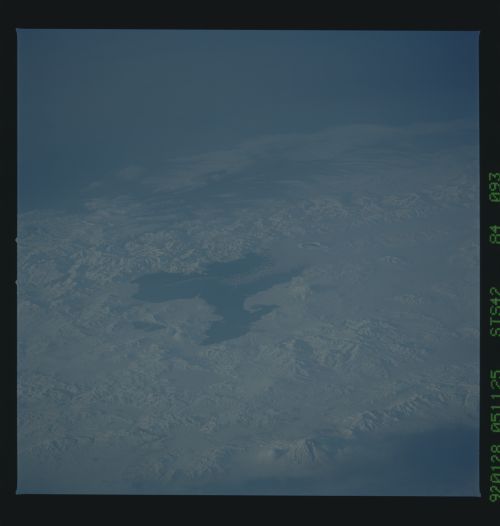
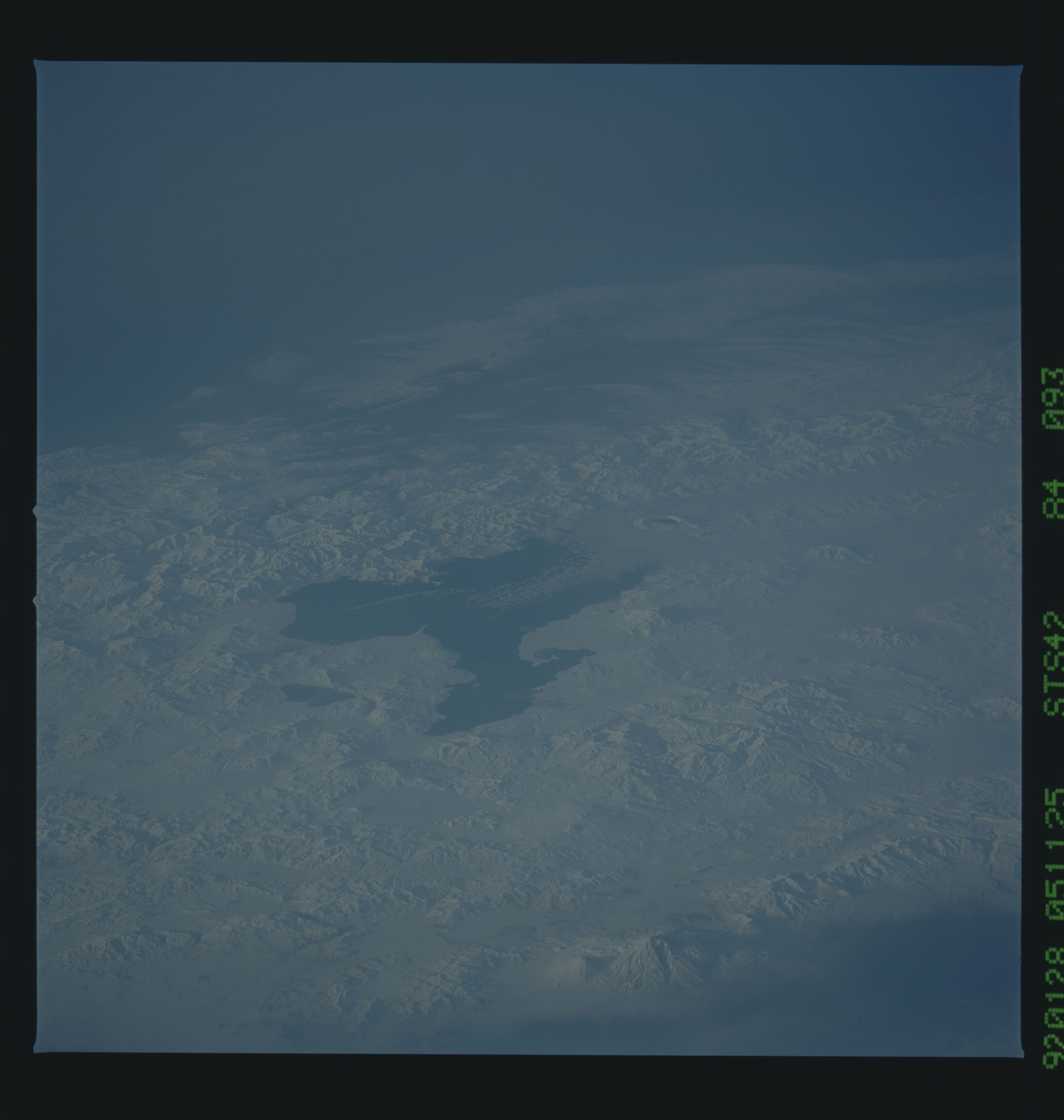
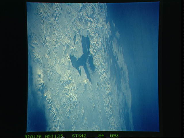
STS042-84-093: Lake Van and Mt. Ararat, Turkey This ob-
lique view of TurkeyUs largest lake features the impressive Mt
Ararat (5165 m high) in the foreground, very close to the Armeni-
an and Iranian borders. Mt. Ararat is the largest of a zone of
volcanoes in Turkey, flanking Lake Van. Several calderas and
breached cones can be seen along the near (northeast) side of the
lake. Lake Van sits within large fault and volcanic
zones trending roughly east-west, the result of the Arabian pla-
teUs moving northwestward against the Eurasian plate. Earth-
quakes, sometimes large, are frequent. The low sunlight il-
luminates the linear features in the bedrock in the foreground,
probably the result of the squeezing of this area within the
fault zones. The lake itself is fairly alkaline because the cli-
mate is semiarid and the lake has no apparent outlet.
