< STS089-716-87 >
| NASA Photo ID | STS089-716-87 |
| Focal Length | 100mm |
| Date taken | 1998.01.30 |
| Time taken | 13:55:42 GMT |
Cloud masks available for this image:
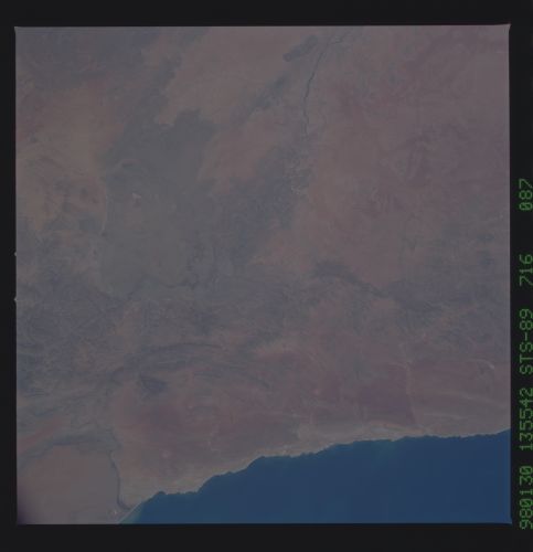
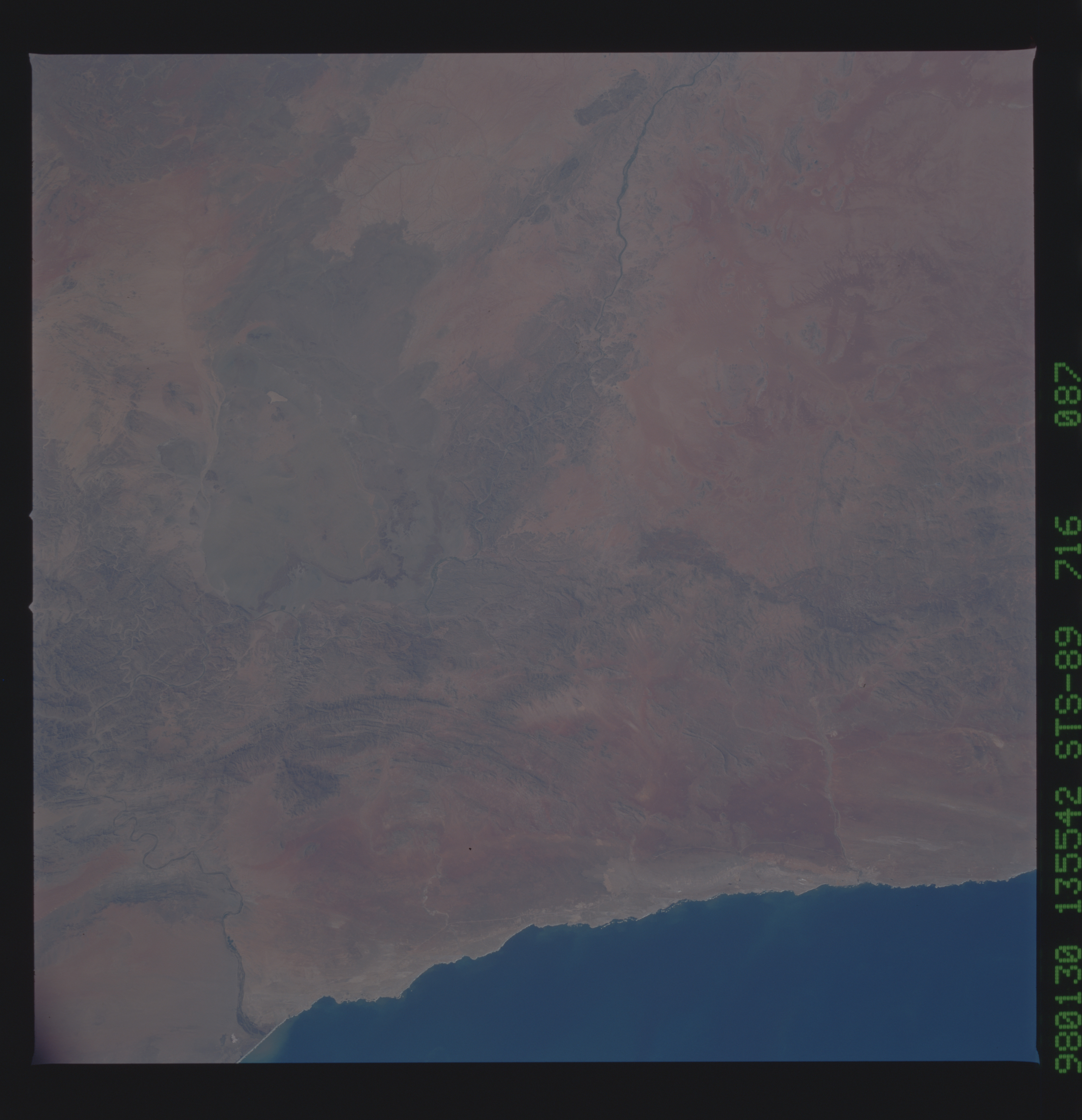
Spacecraft nadir point: 30.0° S, 16.3° E
Photo center point: 29.0° S, 18.0° E
Photo center point by machine learning:
Photo center point: 29.0° S, 18.0° E
Photo center point by machine learning:
Nadir to Photo Center: Northeast
Spacecraft Altitude: 196 nautical miles (363km)
Country or Geographic Name: | REPUBLIC SOUTH AFRICA |
Features: | ORANGE RIVER |
| Features Found Using Machine Learning: | |
Cloud Cover Percentage: | 0 (no clouds present) |
Sun Elevation Angle: | 50° |
Sun Azimuth: | 278° |
Camera: | Hasselblad |
Focal Length: | 100mm |
Camera Tilt: | 31 degrees |
Format: | 5069: Kodak Elite 100S, E6 Reversal, Replaces Lumiere, Warmer in tone vs. Lumiere |
Film Exposure: | Normal |
| Additional Information | |
| Width | Height | Annotated | Cropped | Purpose | Links |
|---|---|---|---|---|---|
| 5700 pixels | 5900 pixels | No | No | Download Image Download Color Calibration Image for this Image |
|
| 483 pixels | 500 pixels | No | No | Download Image Download Color Calibration Image for this Image |
Download Packaged File
Download a Google Earth KML for this Image
View photo footprint information
No GeoTIFF is available for this photo.Image Caption: Orange River, S. Africa. Excellent detailed views of the structural controls on the course of the Orange River exactly what Dickerson had requested for her research on basement-level structural influences on topography. Folds and faults can be clearly seen here. Magnificent view of all South Africa, the
